

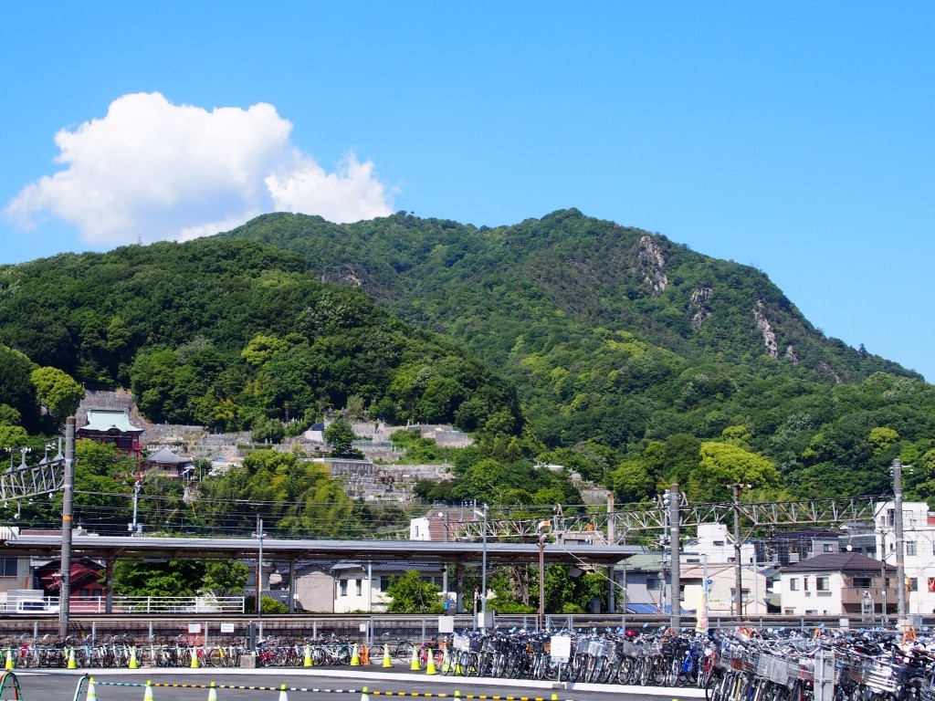
From the top, you can enjoy a wonderful view of the mountain range, the Seno River basin, and Kaita Bay.You can also enjoy the strangely shaped stones and rocks.
Elevation: 345.4m Mt. Hiura borders the three districts of Funakoshi, Kaita, and Hataga, and was formerly known as "Himurayama," "Hinourayama," and "Hiriyama." It is strongly associated with the castle mountain that supported the Asonuma clan's Torigoroyama Castle during the Sengoku period, but there are also records that in the early Nanboku-cho period, tens of thousands of allied troops from Bingo, Iwami, and Aki held siege to the castle, fighting a fierce battle with the Takeda clan, the samurai side. The view from the summit is magnificent, and you can see the Kurebabau mountain range, Rengejiyama, Hokotoriyama mountain range, the Seno River basin, and even Kaita Bay. There are also many strangely shaped rocks and stones, including Jigokuiwa Rock and a huge rock that is said to have contained the sword that Asonuma Takasato used to commit suicide (Geihan Tsushi).
INFORMATION
- business hours
- Open all year round
- address
- 〒736-0089Hataga-cho, Aki-ku, Hiroshima City, Hiroshima Prefecture