

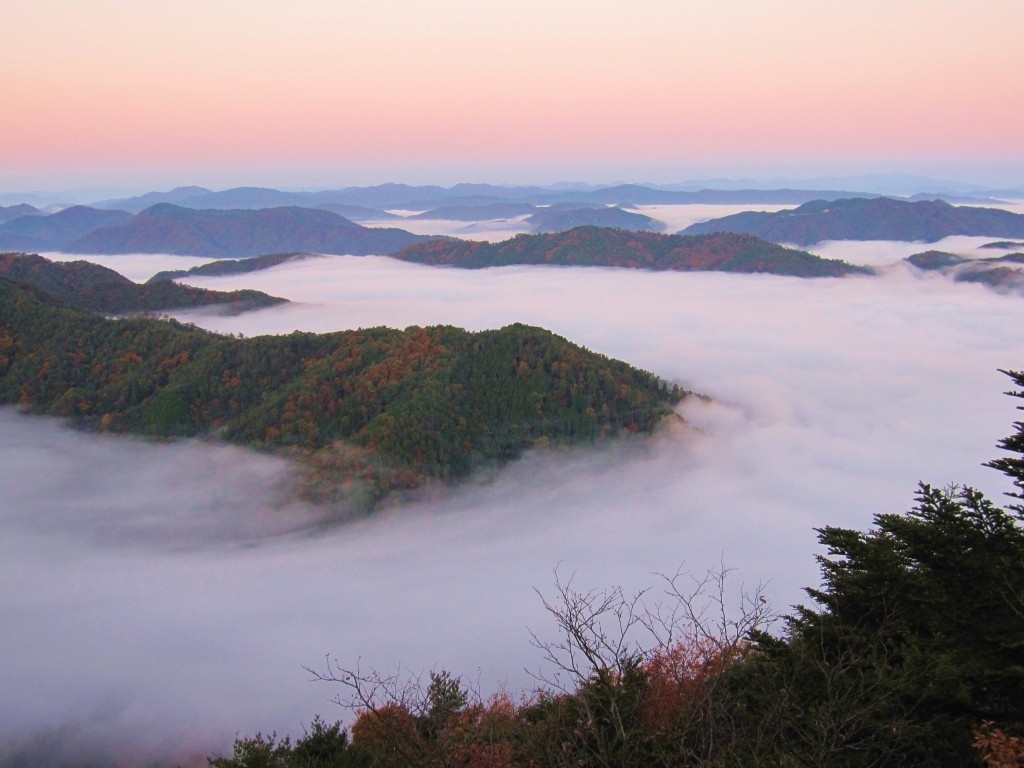
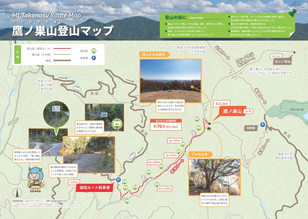
Altitude 921.8m. The summit of Mt. Mutsukoku is also a wide grassland with a great view.
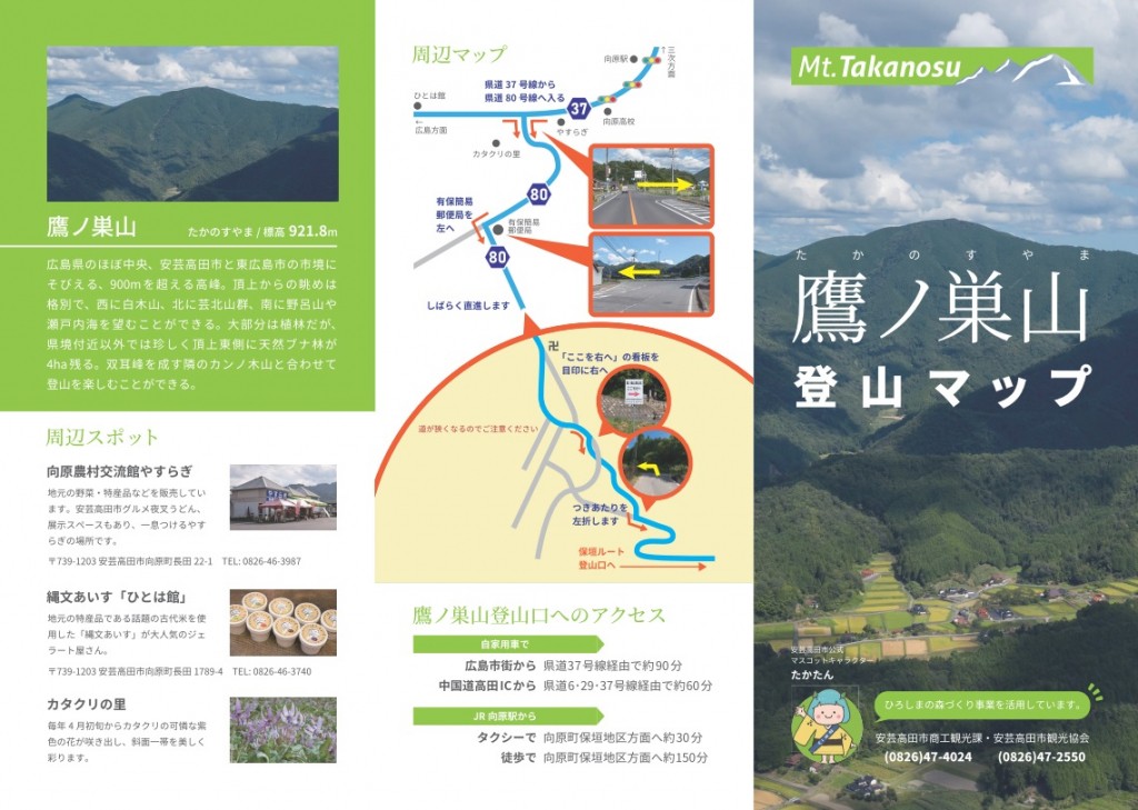
There are two hiking trails to Takanosuyama, the highest mountain in Aki-Takata City, from the Hachimantani area of Yasugaki, Mukaihara-cho, Aki-Takata City, and from the Sakanoterayama area. Both trails have some steep slopes, but the views from the summit are good, and you can see Mt. Noro to the south and Mt. Sanbe to the north. There is also a mountain hut at the summit. There is also a trail to the summit from Fukutomi-cho, Kamo-gun.
INFORMATION
- business hours
- open all year round
- address
- 〒739-1201Hogaki, Mukaiharachozaka, Akitakata City, Hiroshima Prefecture
- Phone Number
- 0826-46-3114
- Website
- Parking notes
- Yes