Dive! Hiroshima Official Guide
A picturesque landscape! Hiroshima prefecture is home to the scenic islands of the Seto Inland Sea
You can meet many inspiring landscapes such as satoyama and townscapes that left footprints that flourished as a port town.
The scenery of the Atomic Bomb Dome, the Peace Memorial Park, and the riverside that flows around them are also unique to Hiroshima.
I want to return to this place with a photo from among them! A selection of superb scenic spots called.
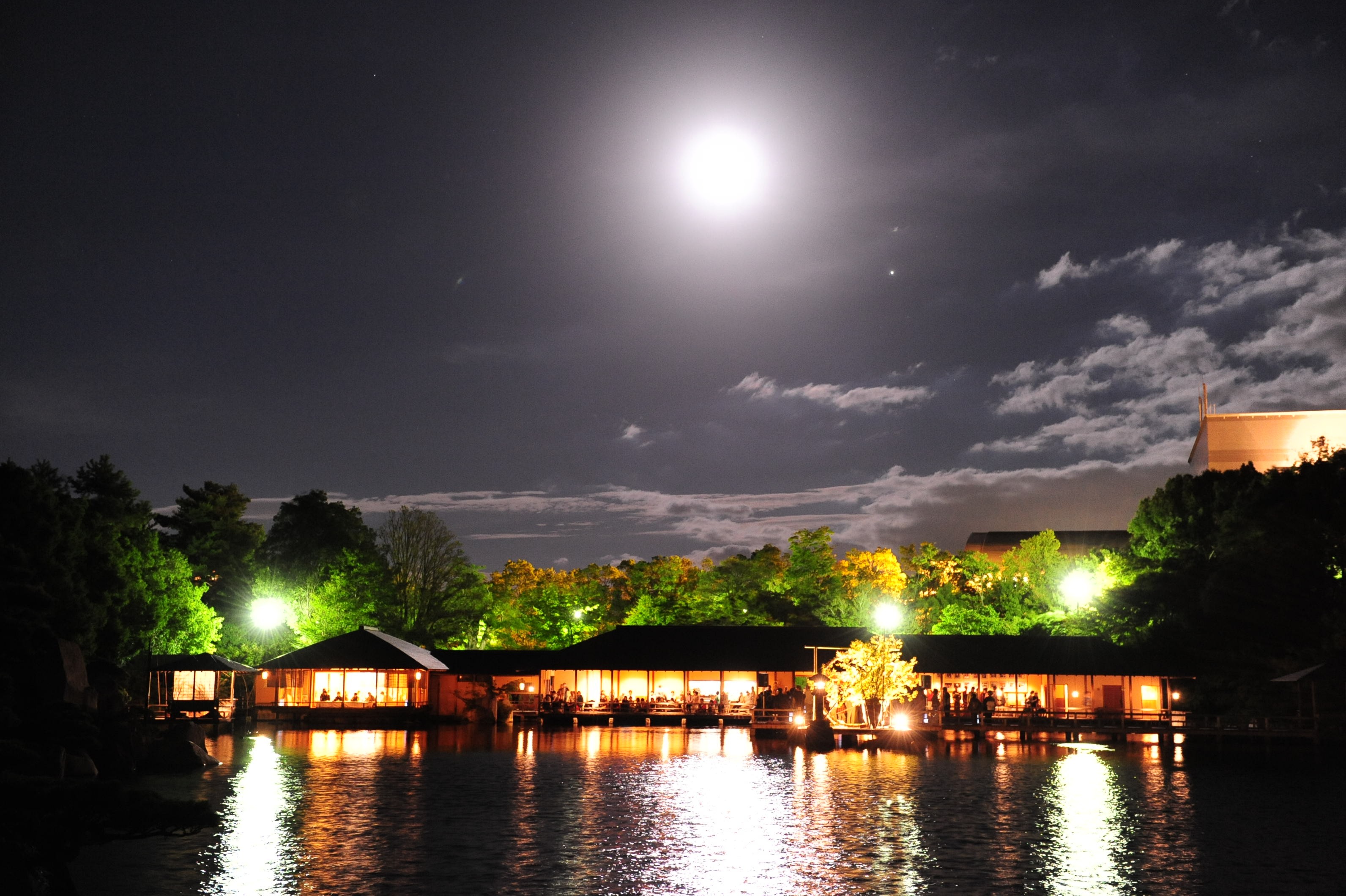
It might be nice to drive or cruise for a romantic night view.
“In search of a superb photogenic view... Camera trip”


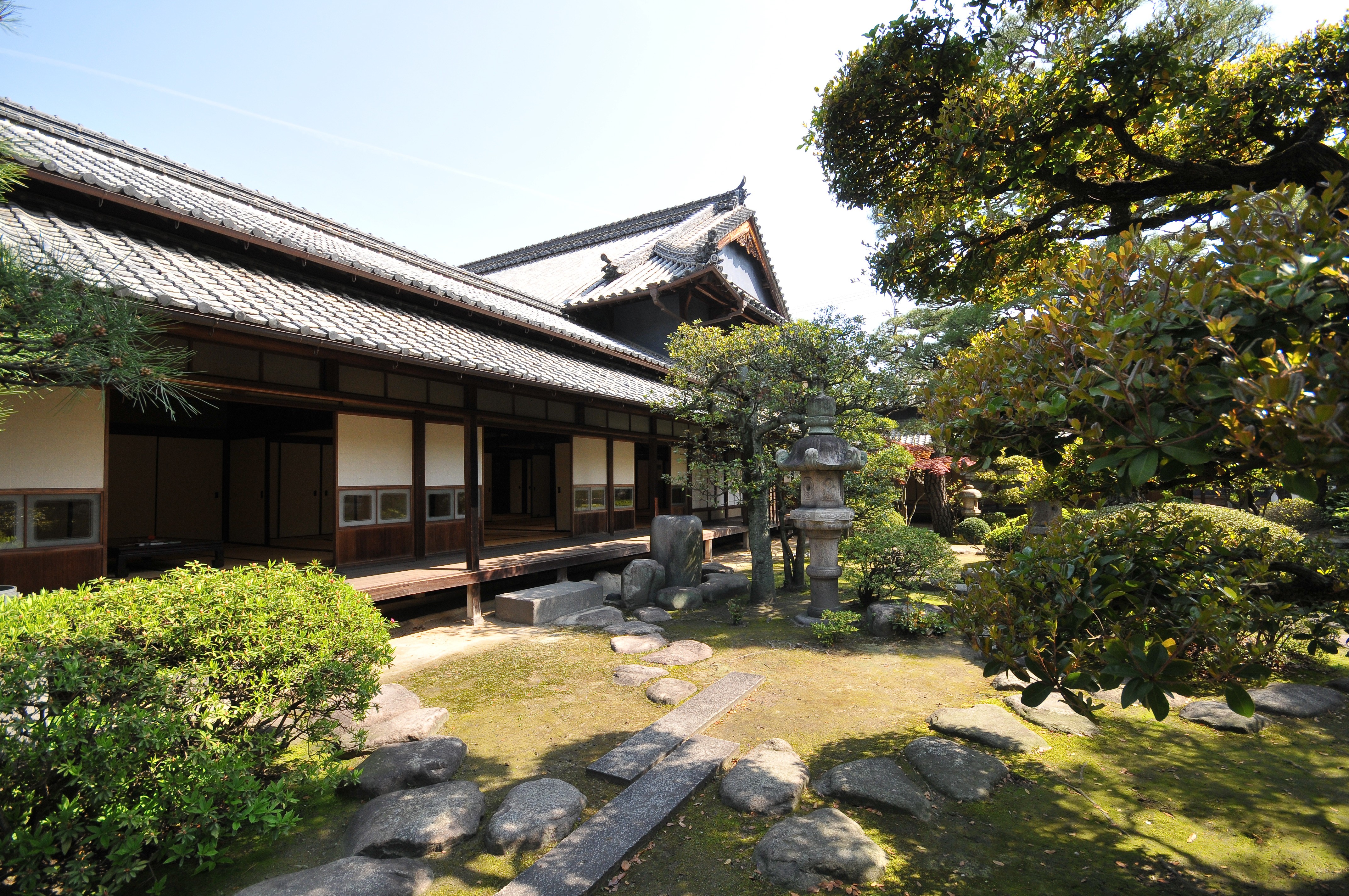
Sankeien
Travel time : About 60 minutes
1/5

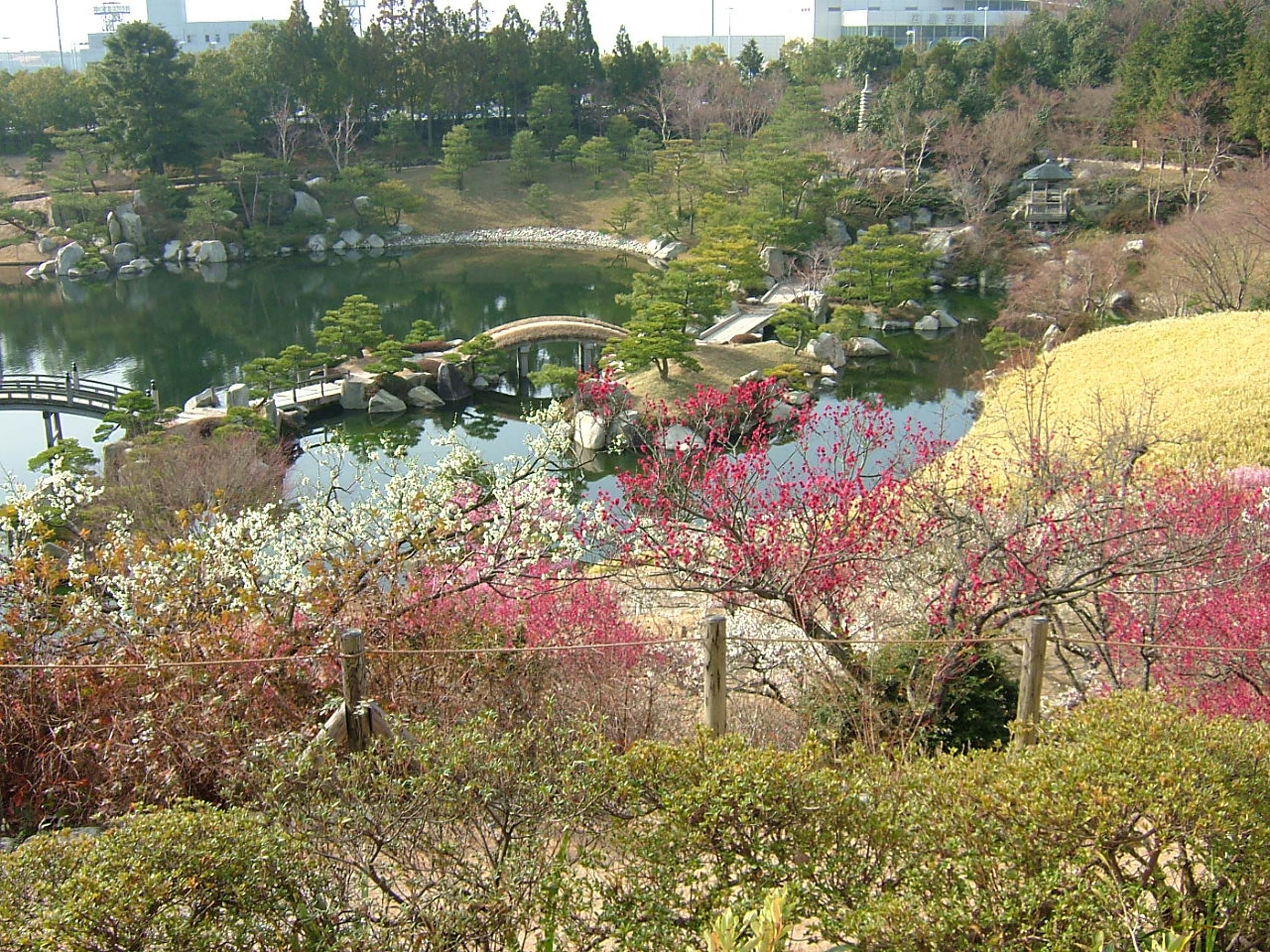
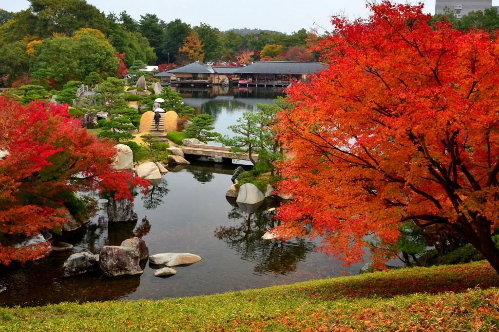
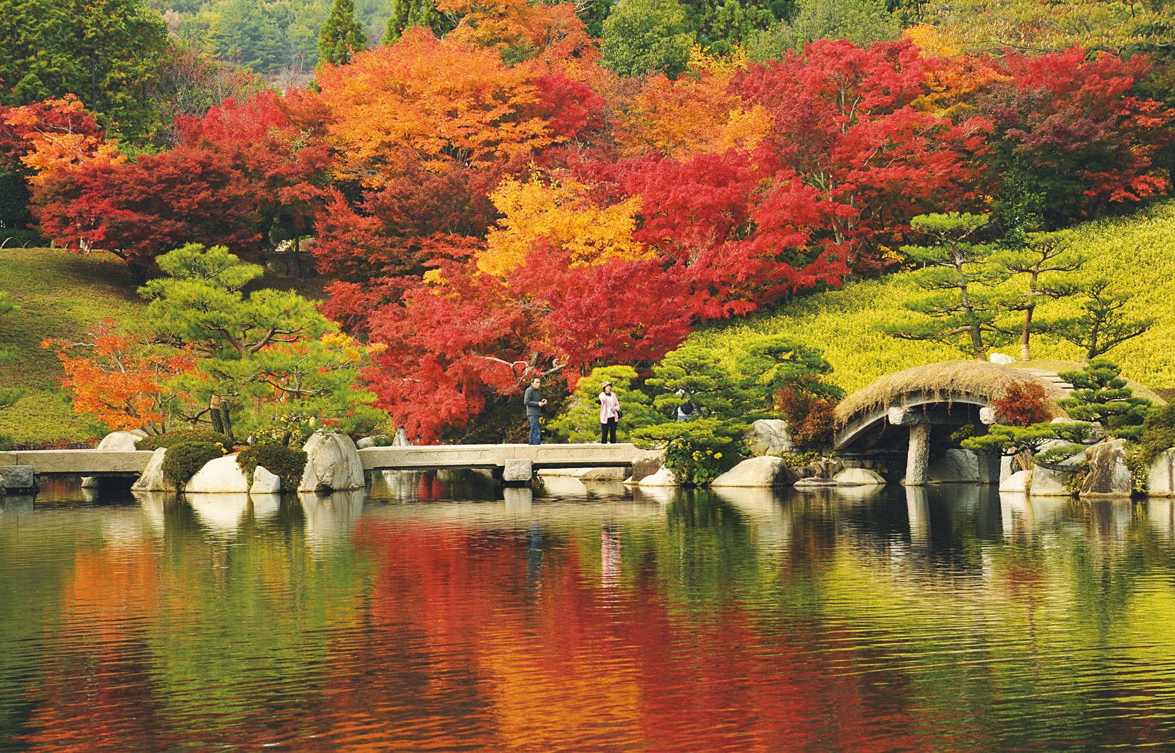
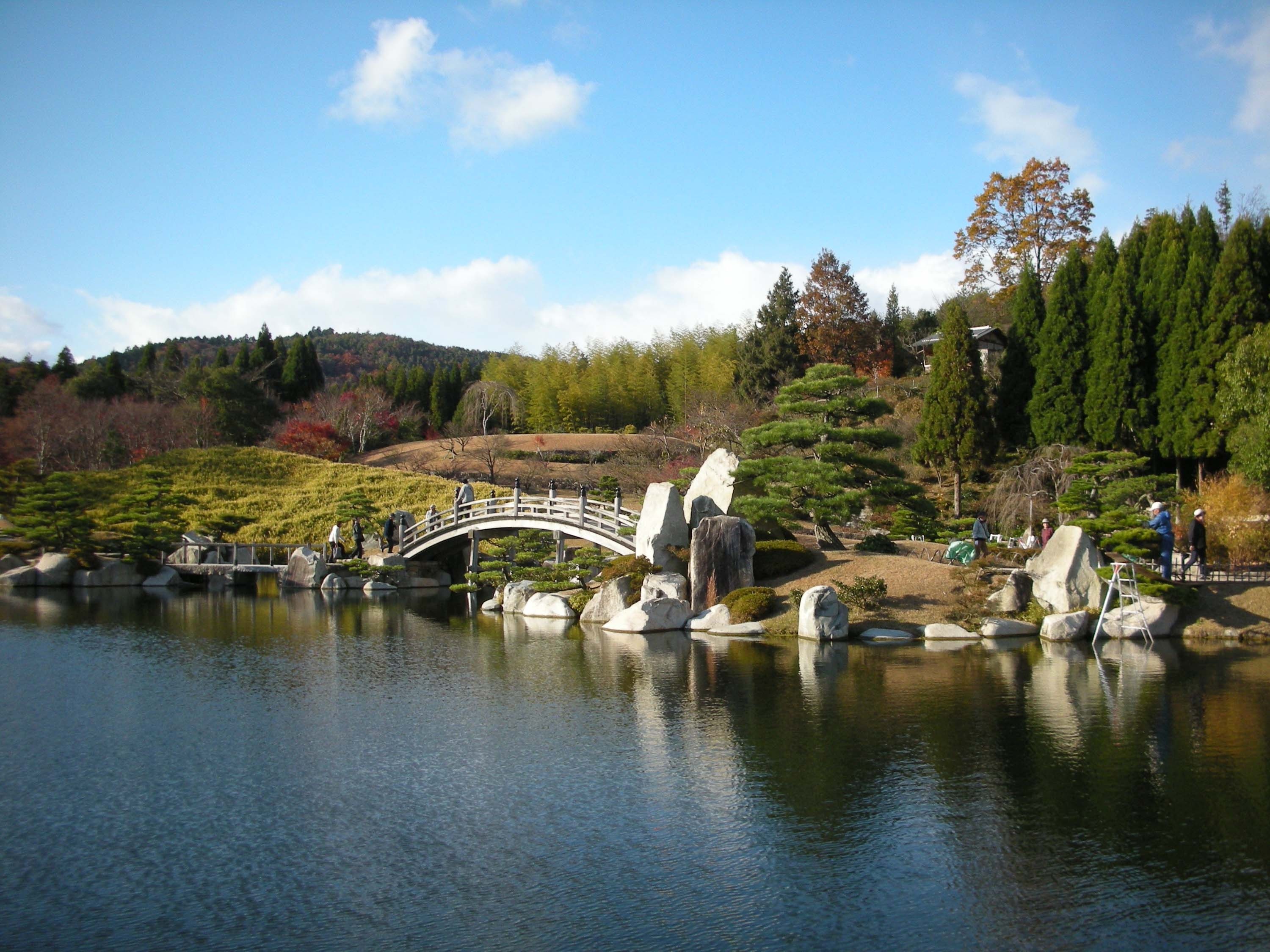
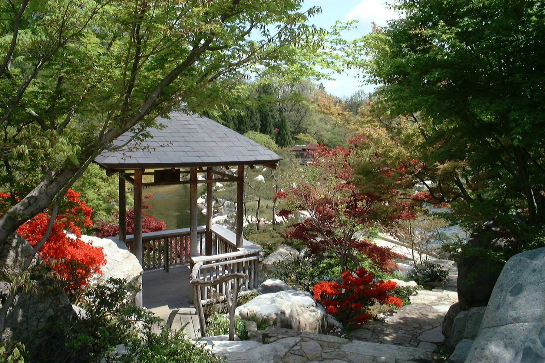
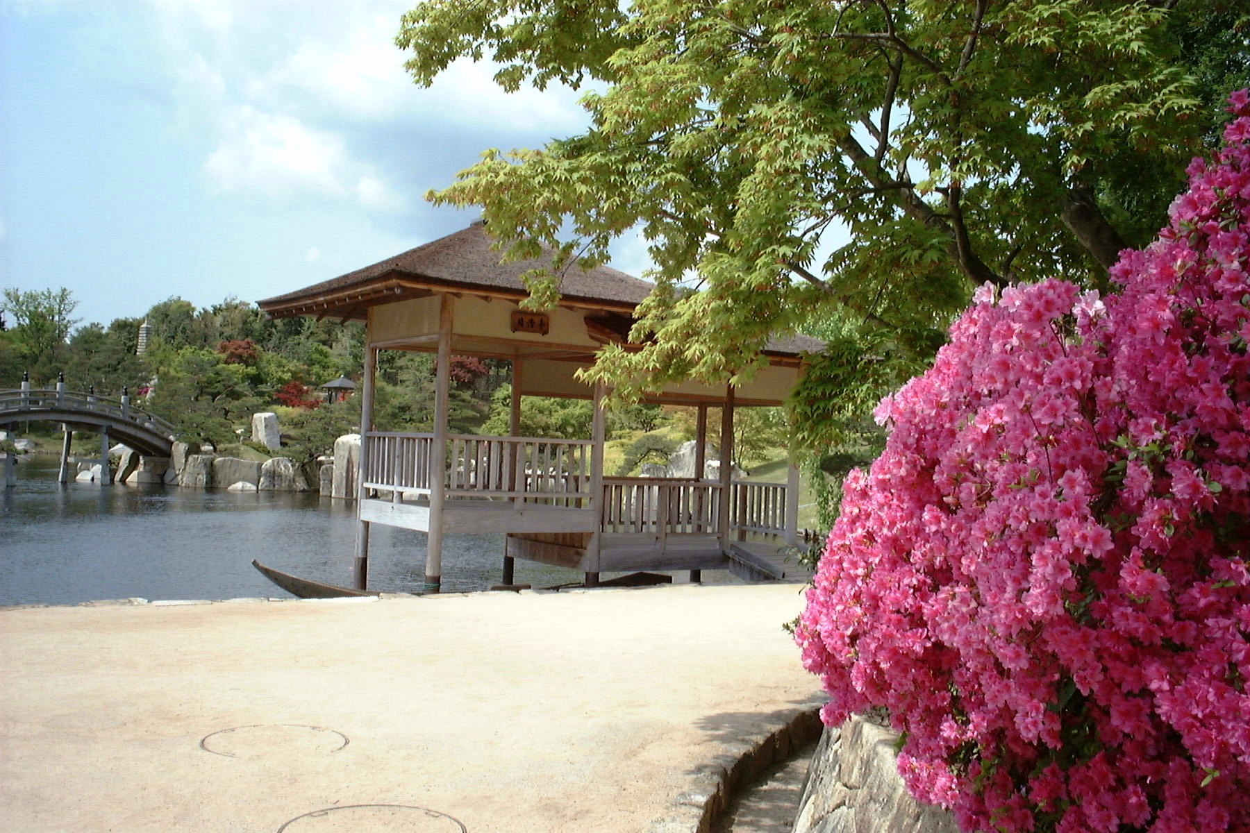
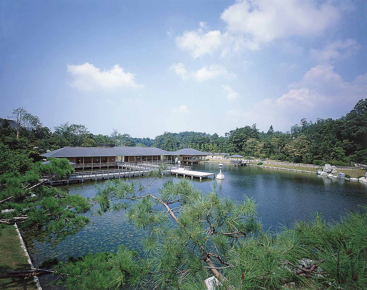
In commemoration of the opening of Hiroshima Airport, it is a rockery pond kaiyu-style garden with an area of about 6 hectares built in the image of the three landscapes of Hiroshima : mountains, villages, and the sea. There is a plum festival in March, a flower festival in June, and a autumn leaves festival in November, so you can admire the beautiful garden throughout the year.
Car Approx. 7 minutes
Hattendo Cafelie
Travel time : About 50 minutes
2/5
10064-190 Kurayama for Zennyuji, Hongo-cho, Mihara-shi, Hiroshima 729-0416 Japan
“ Hattendo Caflie” has a variety of breads such as “Cream Bread,” which has an irresistible nice texture. It is a limited edition products. You can enjoy special sweet plates and lunches at the cafe, and you can also experience making bread at the workshop.
10064-190 Kurayama for Zennyuji, Hongo-cho, Mihara-shi, Hiroshima 729-0416 Japan
Car Move to the parking lot near the summit in about 50 minutes
On foot About 10 minutes
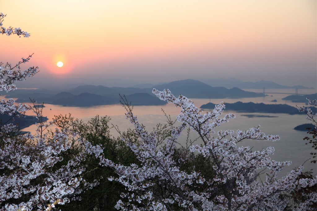
Fudekageyama
Travel time : About 40 minutes
3/5

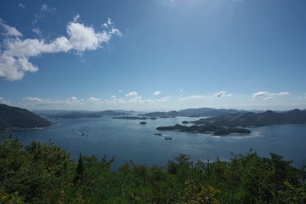
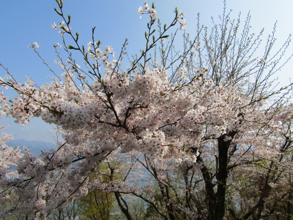
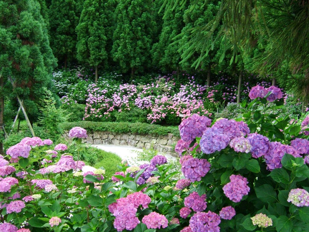
It is said that Rai Sanyo, a Confucian and poet named the mountain this way because of its shape that, reflected in the sea, looks like a brush (fude in japanese). The beautiful archipelago seen from the summit is said to be the best in the Seto Inland Sea, and it is also designated as part of the Seto Inland Sea National Park. This place is also famous for cherry blossoms.
Car About 45 minutes to the nearby parking lot
On foot About 5 minutes
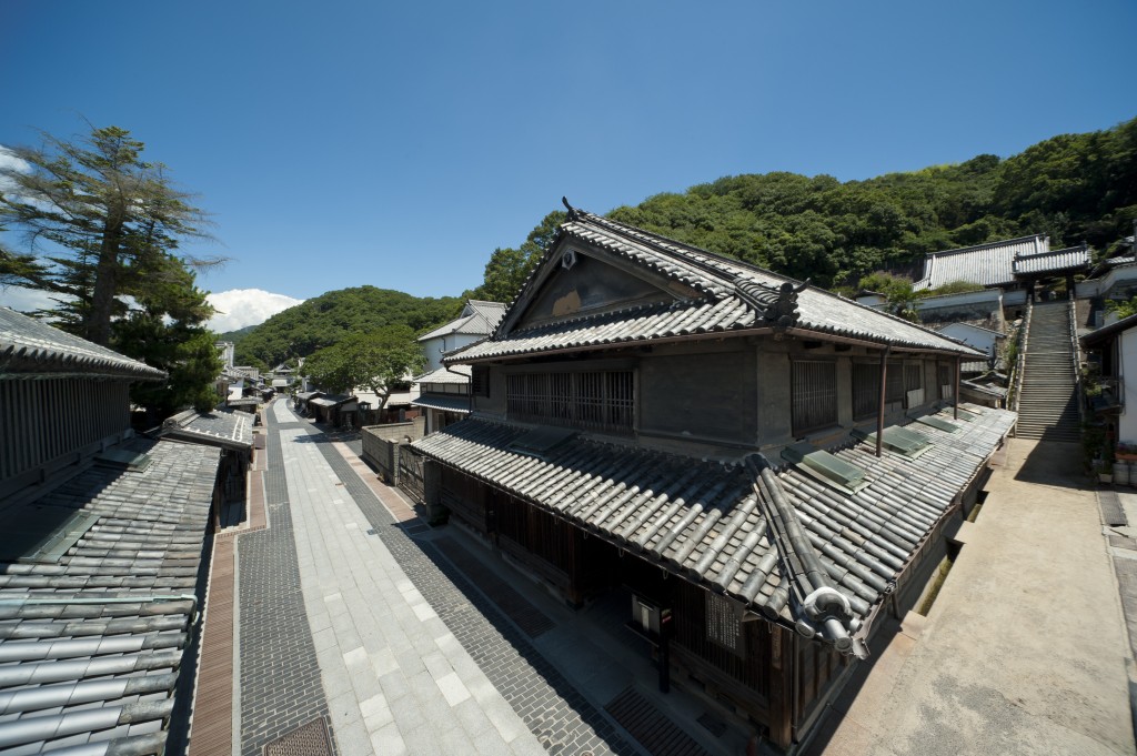
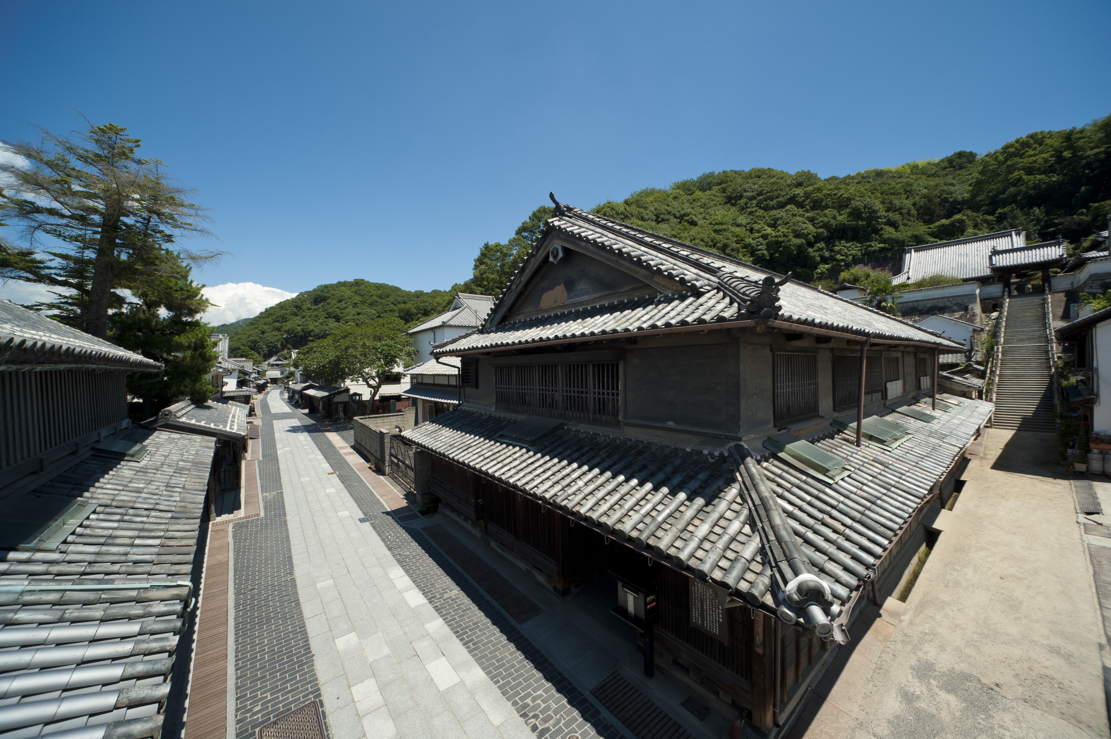
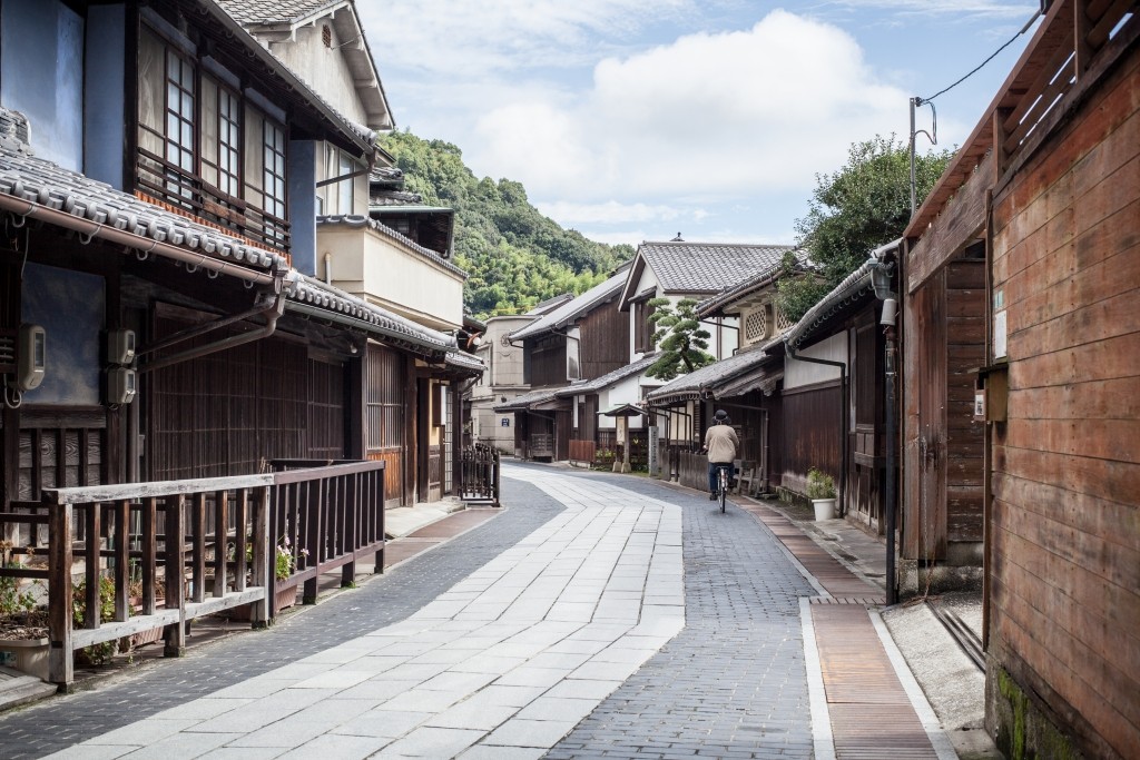
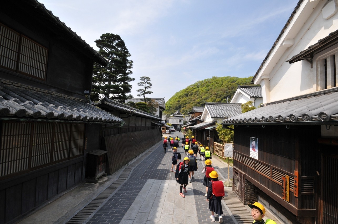
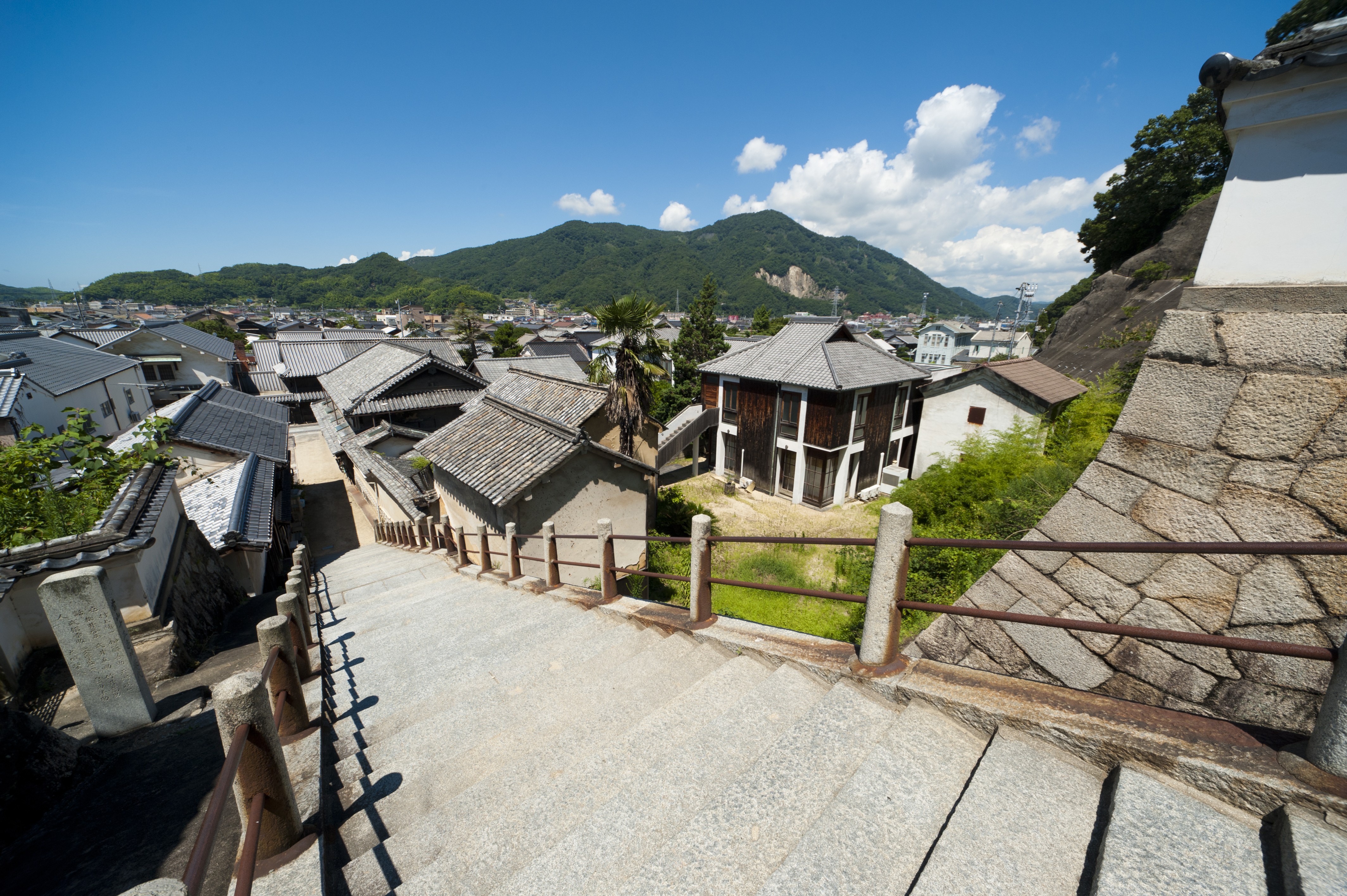
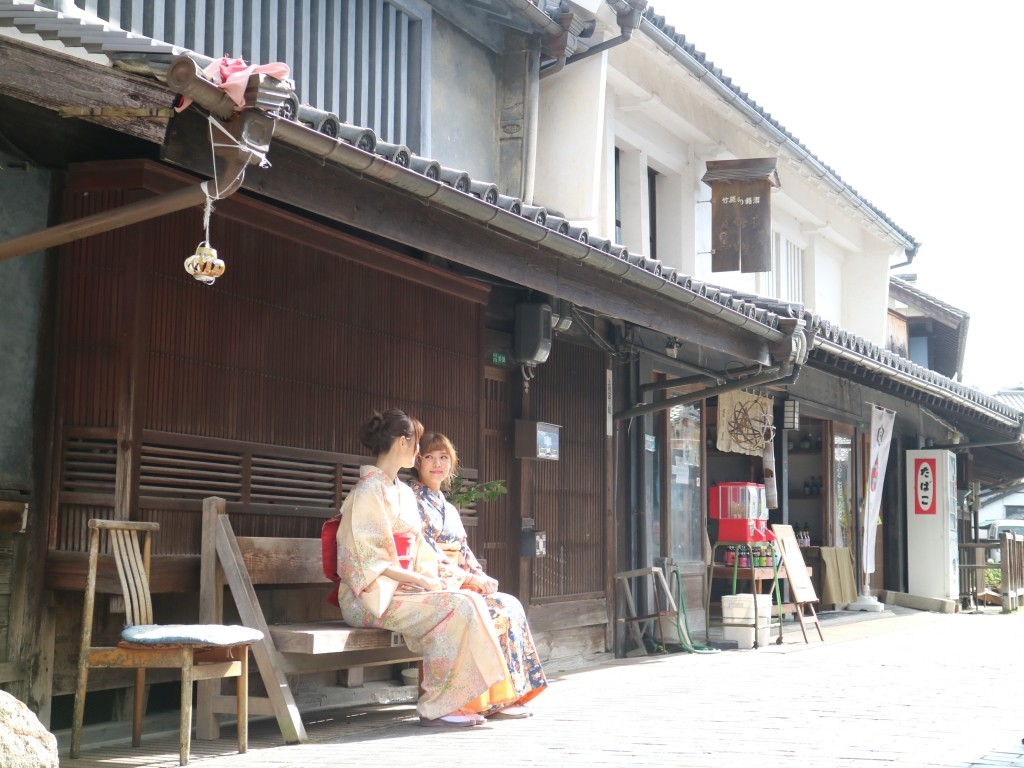
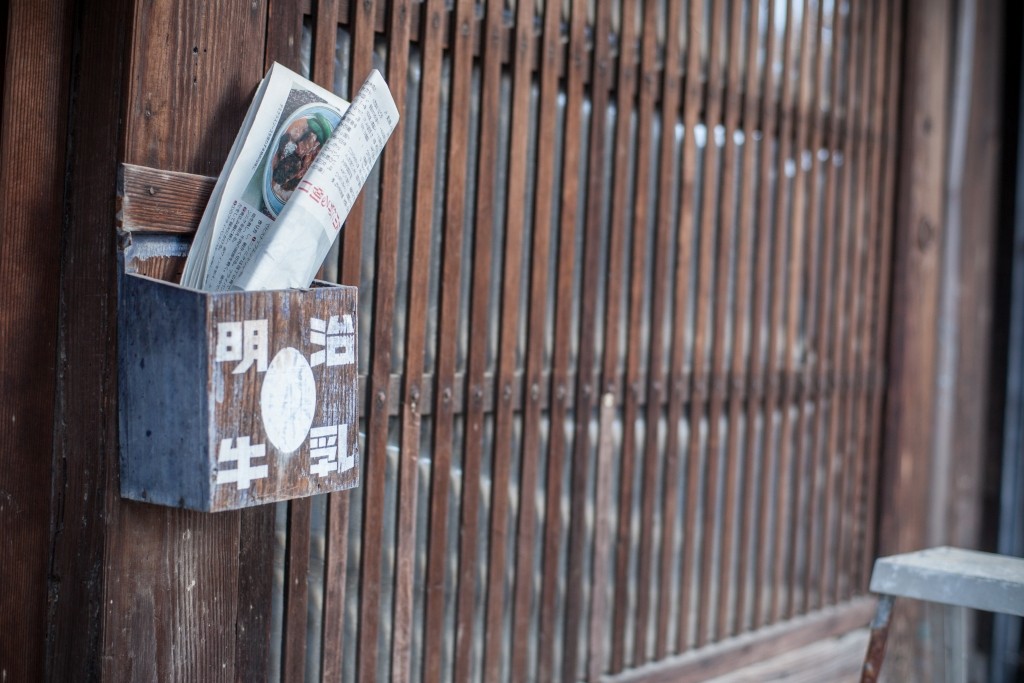
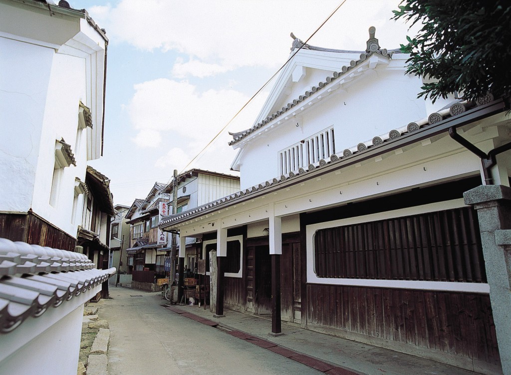
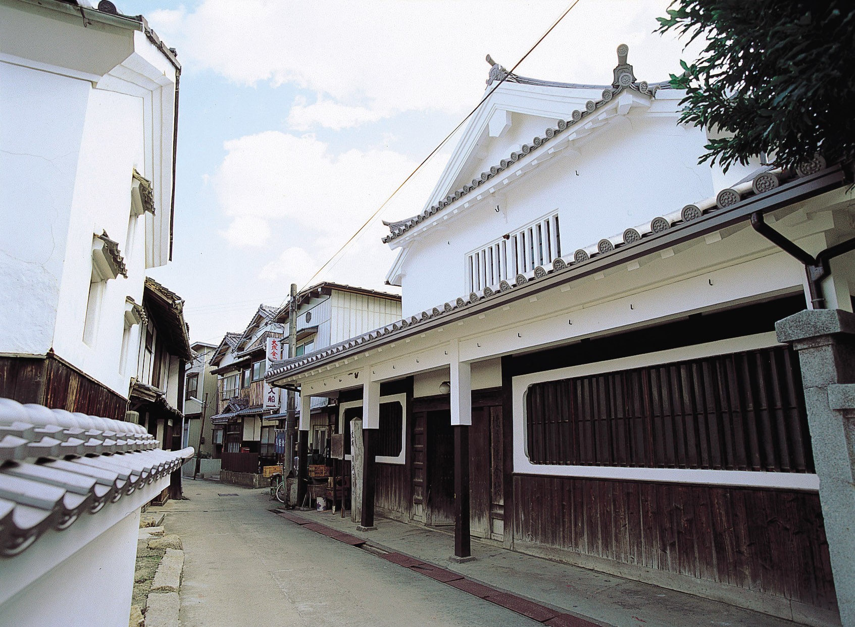
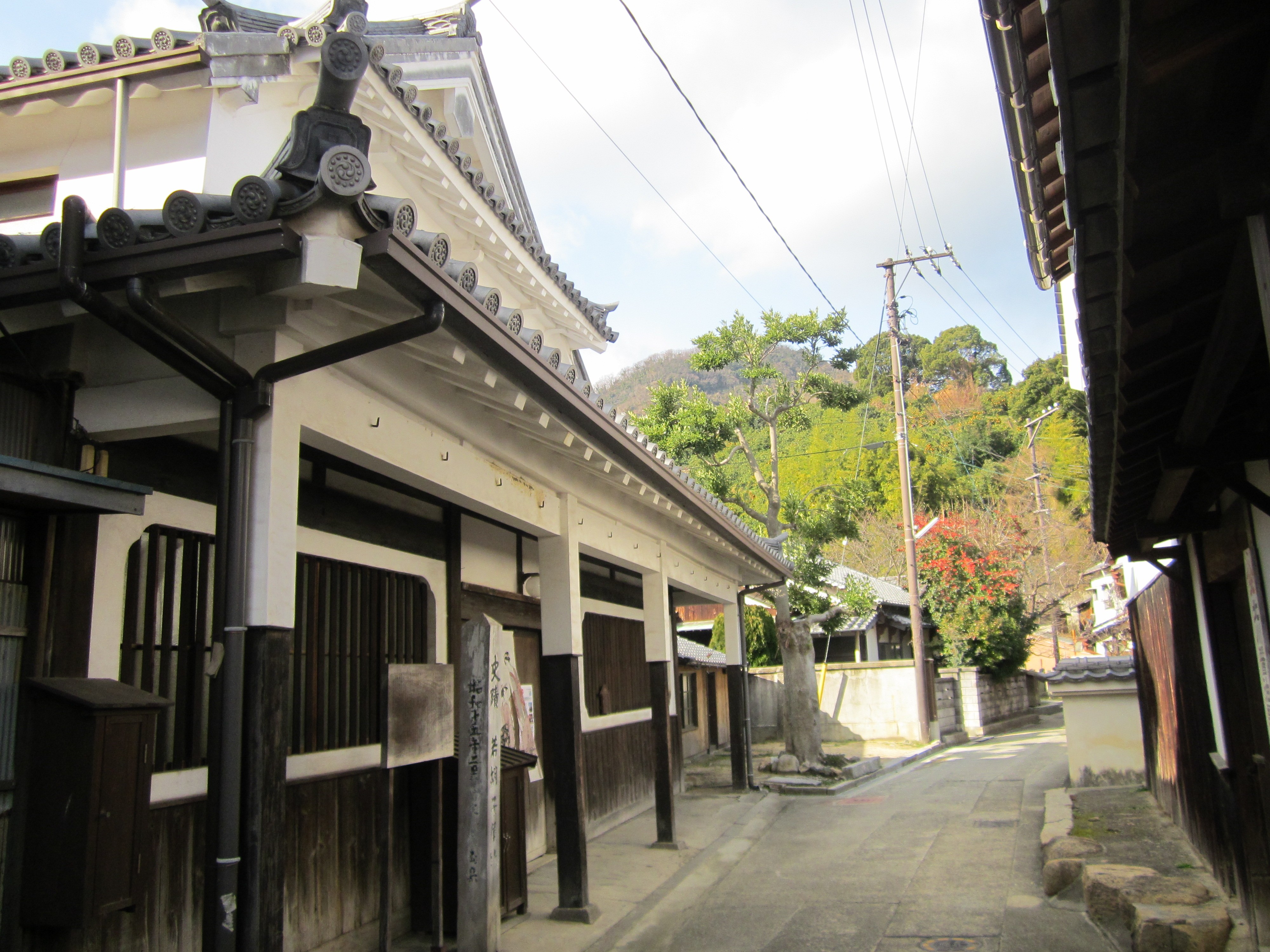
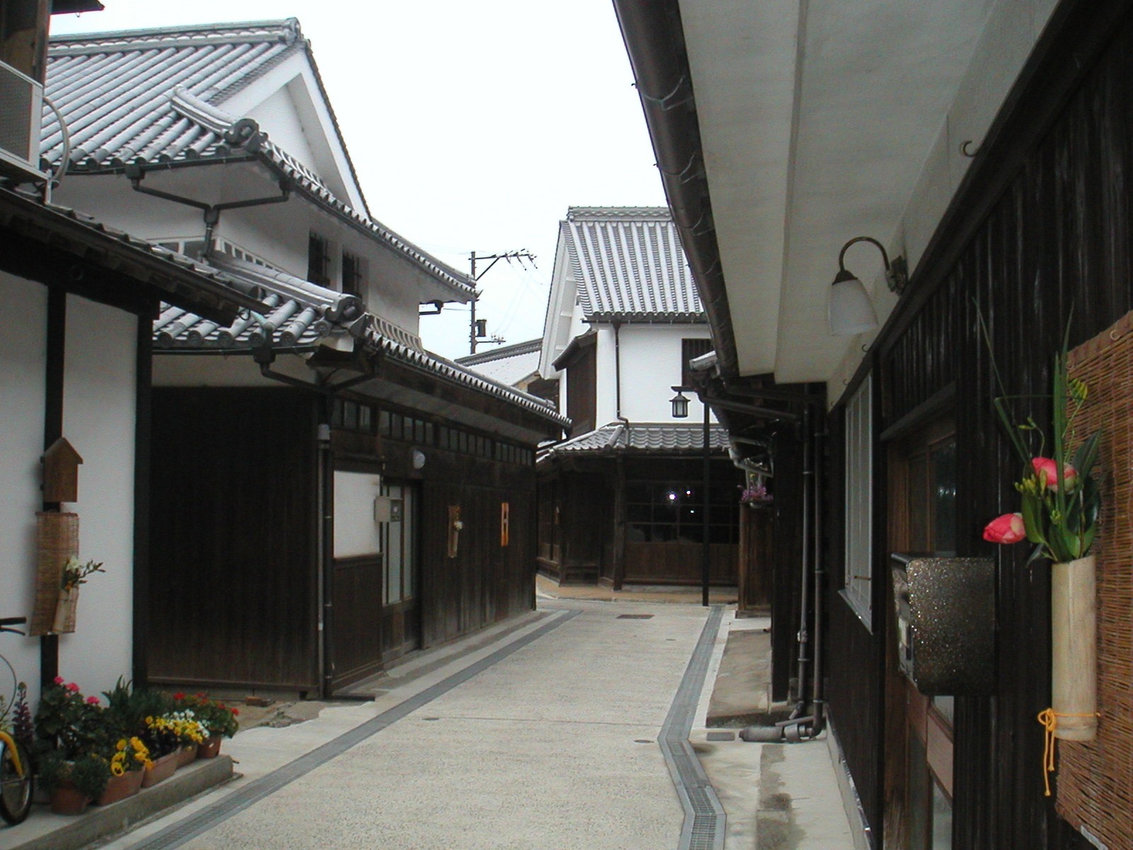
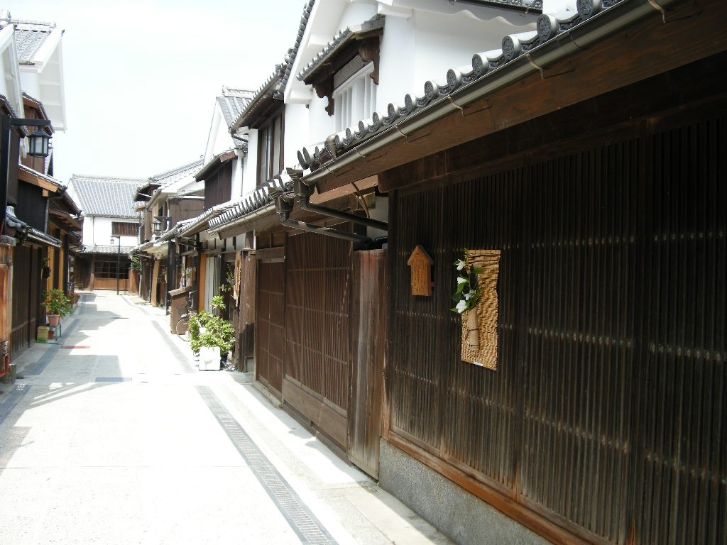
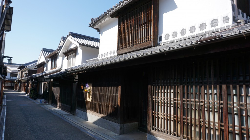
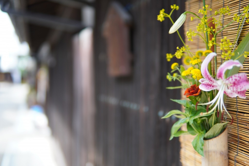
Takehara Townscape Conservation Area
Travel time : About 60 minutes
4/5
〒725-0022 Roadside Station Takehara: 1-1-1, Honmachi, Takehara City, Hiroshima Prefecture, Shinmachi Municipal Parking Lot: 4193 Takehara Town, Takehara City, * Townscape preservation area is near each point, around 3-chome, Honmachi, Takehara City, etc.
0846-22-7745
0846-22-7730
It is a street full of atmosphere of the past when the old town flourished with salt production and sake brewing since the Edo period, that still remain intact. Traditional buildings with white walls and various lattices continue inside the stone pavement, and you can enjoy a picturesque landscape wherever you look.
〒725-0022 Roadside Station Takehara: 1-1-1, Honmachi, Takehara City, Hiroshima Prefecture, Shinmachi Municipal Parking Lot: 4193 Takehara Town, Takehara City, * Townscape preservation area is near each point, around 3-chome, Honmachi, Takehara City, etc.
0846-22-7745
0846-22-7730
(When going from Tadanoumi Port) Car About 20 minutes to the Tadanoumi Port Parking Lot
ferry Approx. 15 minutes
(When going from Takehara Port) Car About 5 minutes to Takehara Port (Takehara Sea Station)
Regular passenger ships Approx. 25 minutes
Okunoshima
5/5

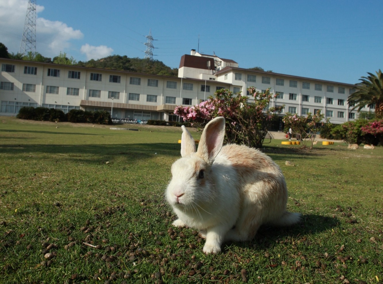
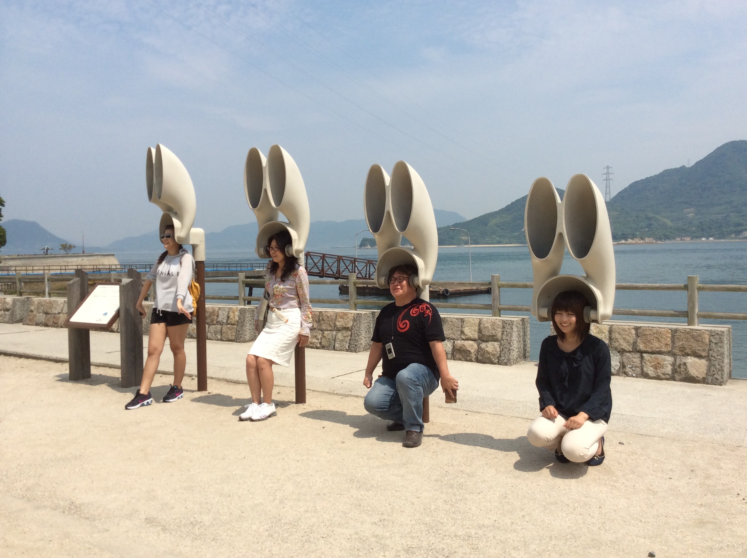
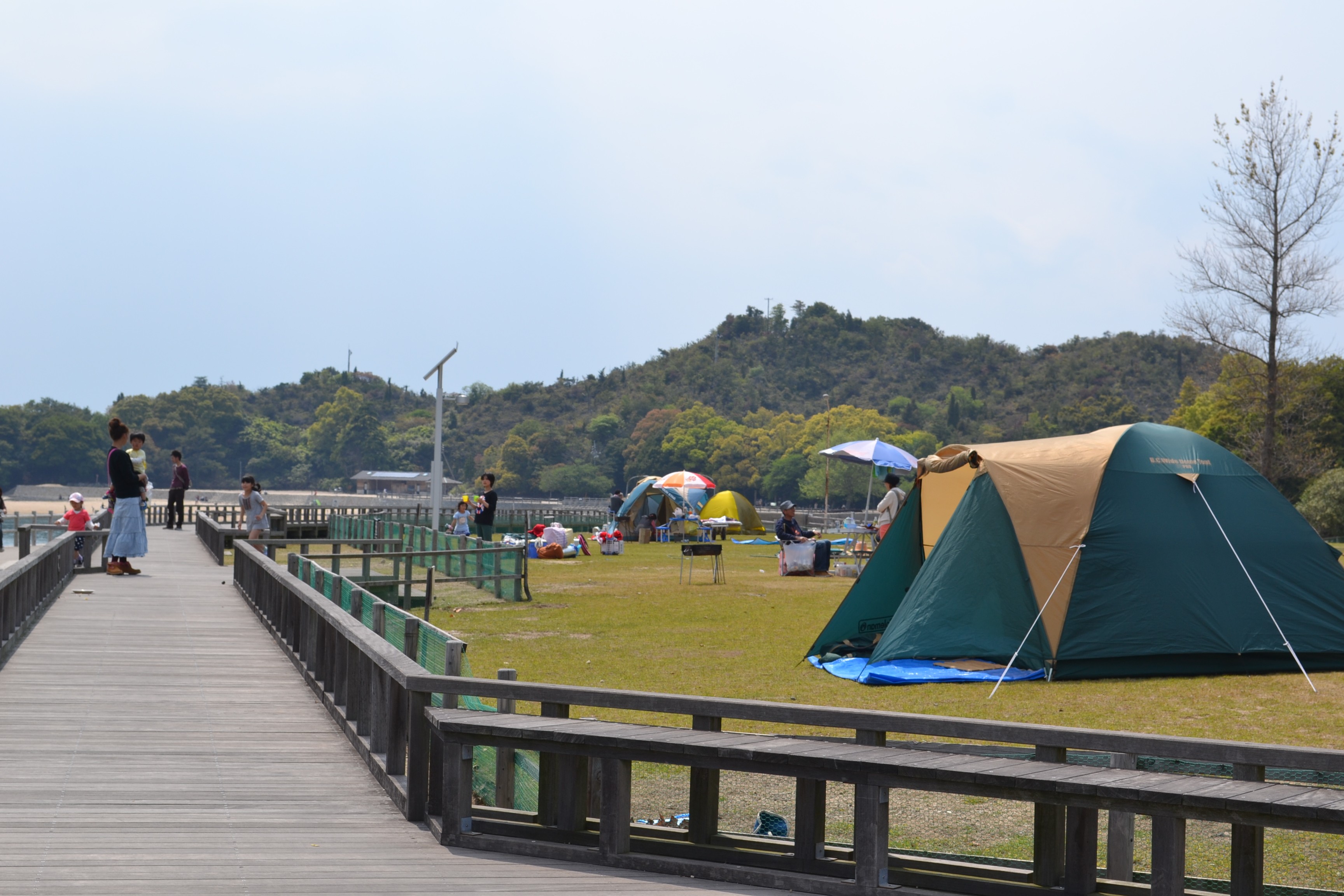
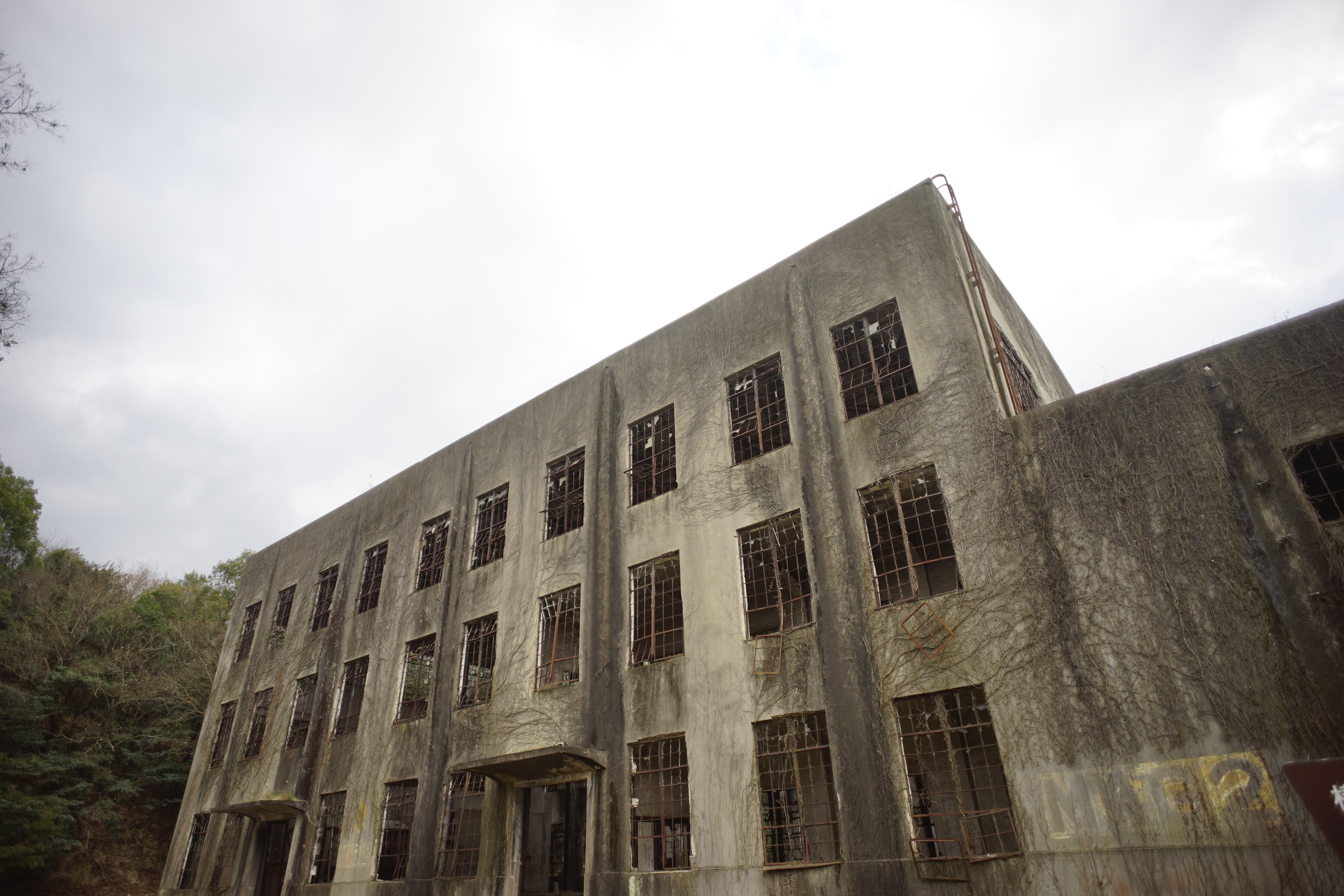
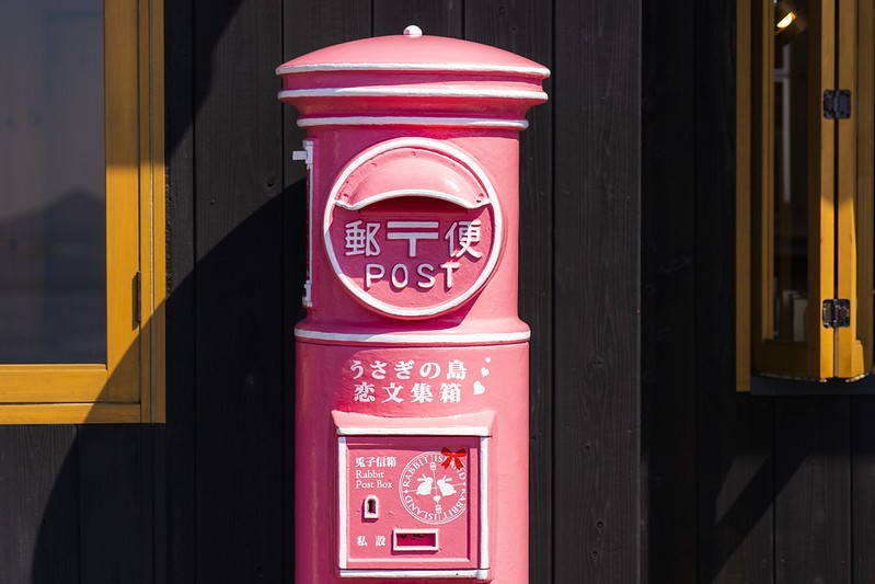
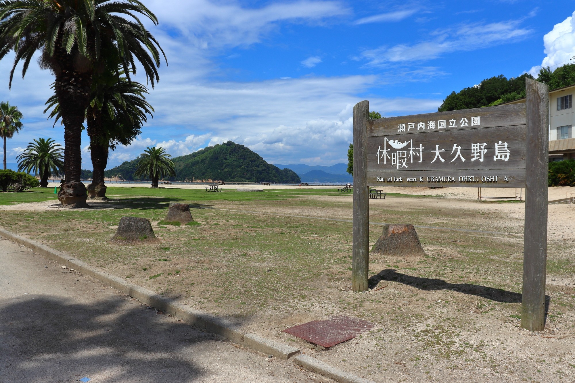
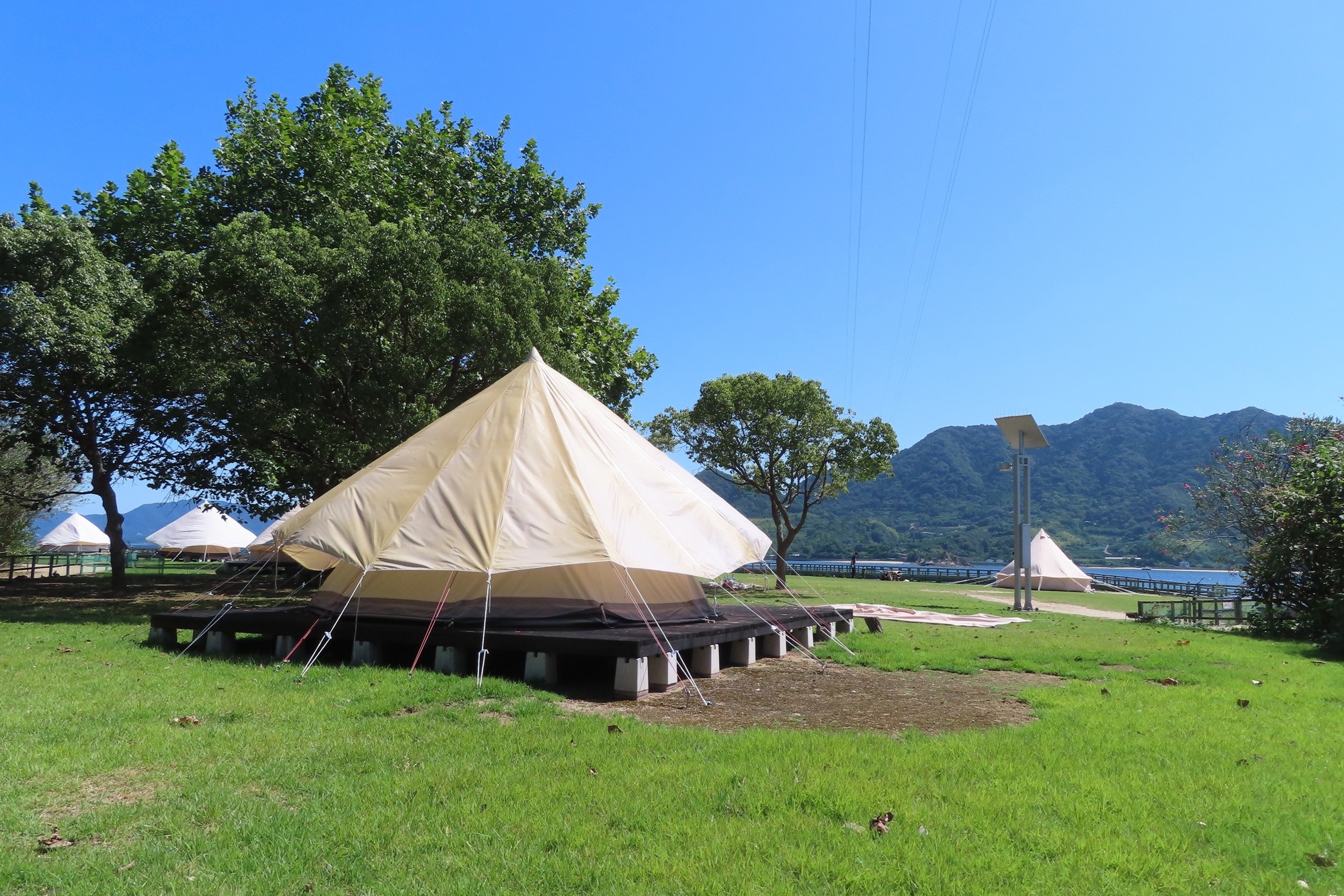
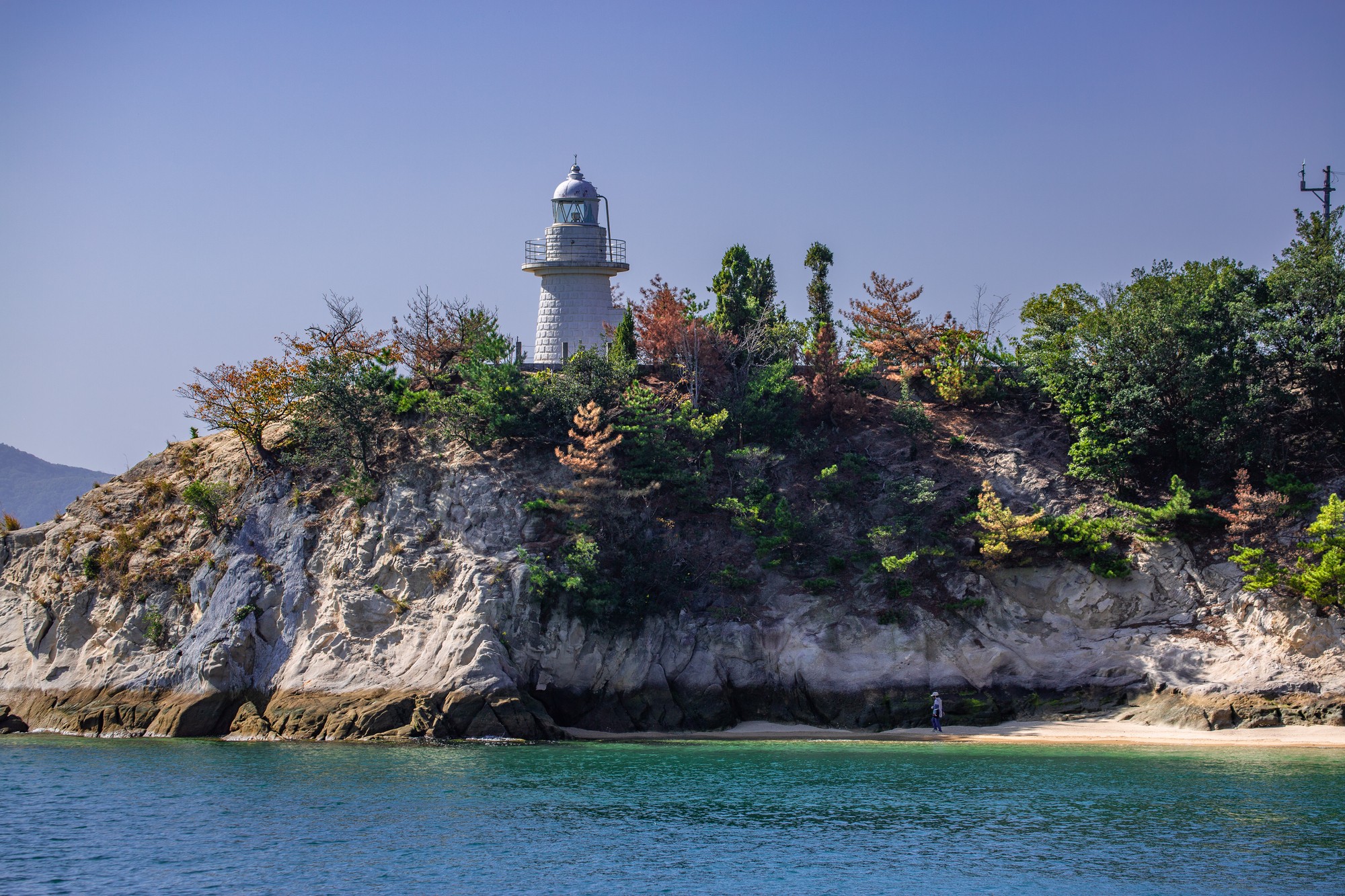
Okunoshima is located 3 km off the coast of Tadanoumi in Takehara City. In the past, this island was used to be a poison gas factory, and it was known as “the island that was erased from the map”.
In recent years, many wild rabbits came to live there, that is why it is also called “Rabbit Island”. You can enjoy hot springs, vacation villages and campsites.
“In search of a superb photogenic view... Camera trip”
Oshiba Ohashi
Travel time : About 60 minutes
1/3

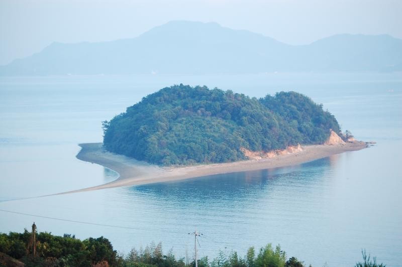
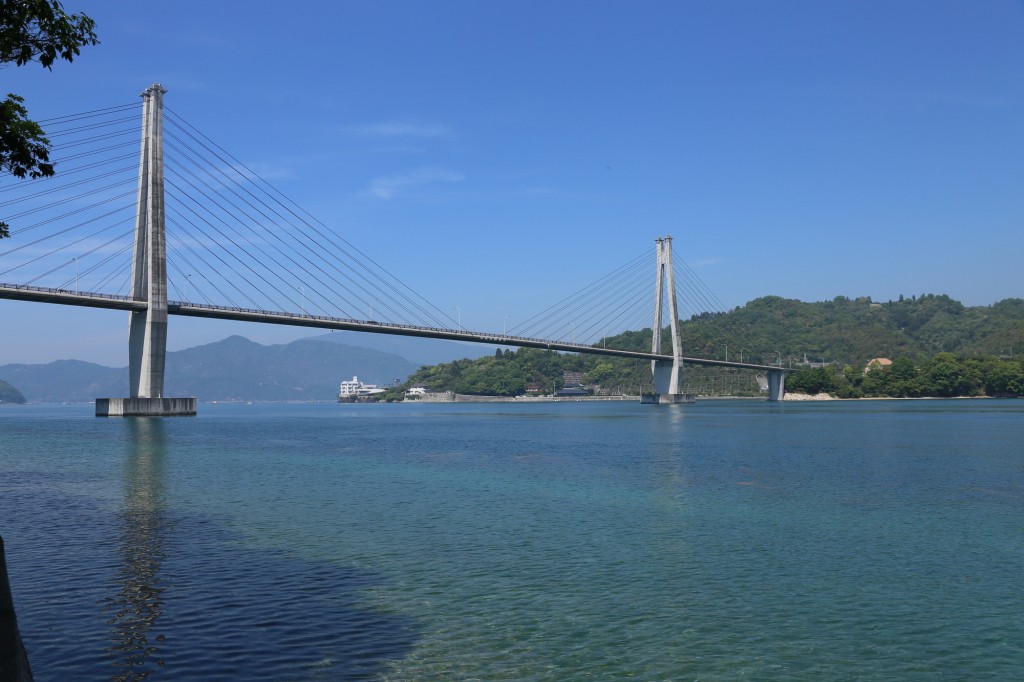
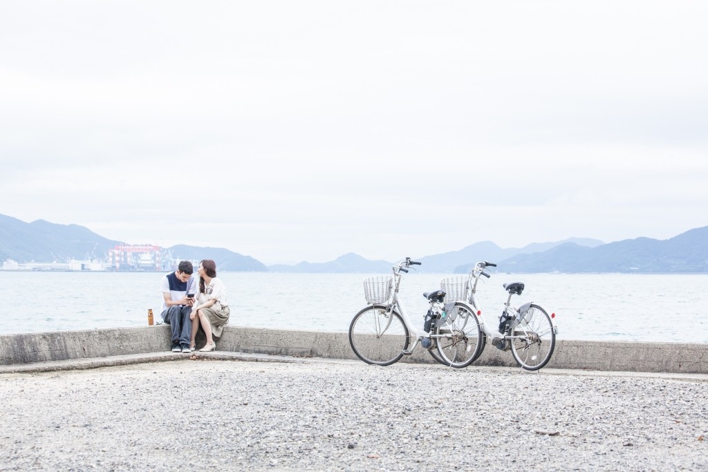
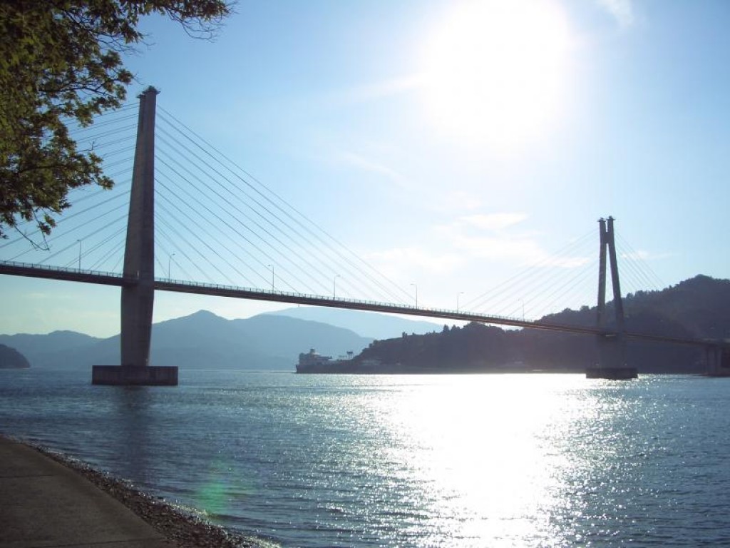
Cross the Oshiba Ohashi from Honshu to get to Oshiba Island. From this island, you can see the heart-shaped Koshiba Island (commonly known as Heart Island), which is secretly popular among couples. It is said that it looks more heart-shaped at low tide.
Car About 60 minutes via National Route 185
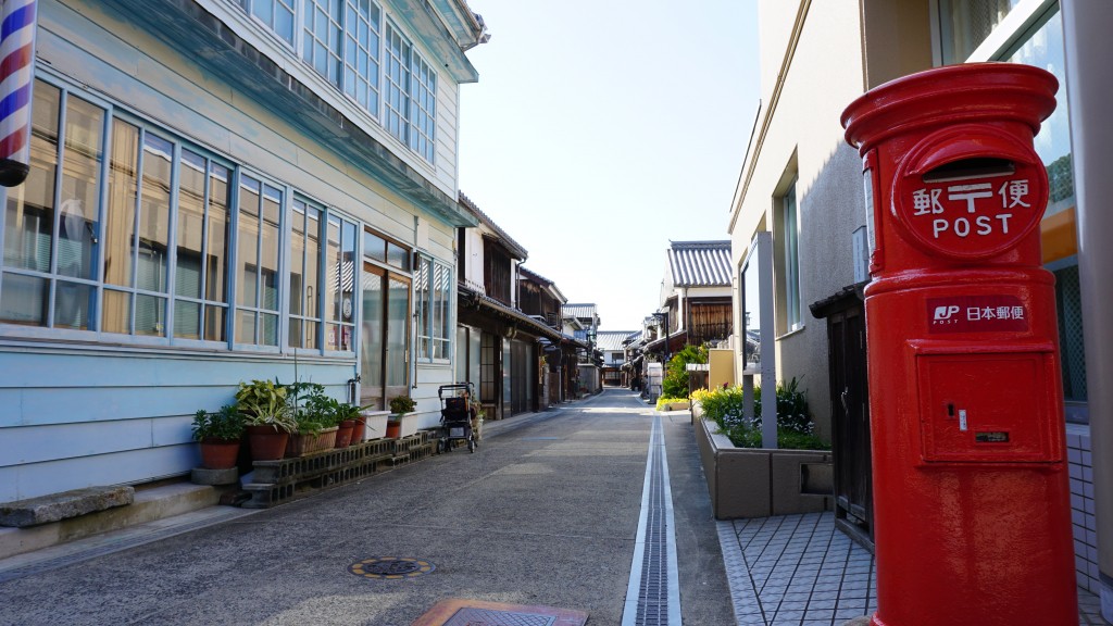
Mitarai Townscape Preservation District
Travel time : Approx. 90 minutes
2/3
〒734-0302 Mitarai Rest Area: 65, Mitarai, Yutakamachi, Kure City * We are accepting walk guides and tourist guides.
0823-67-2278
The town of Mitarai once prospered as a port town waiting for wind and tide. There are still boathouses, barber shops, teahouses, and movie theaters from the early Showa period that still have a retro appearance. It is also a place where many movies, TV dramas, commercials, etc. are filmed.
〒734-0302 Mitarai Rest Area: 65, Mitarai, Yutakamachi, Kure City * We are accepting walk guides and tourist guides.
0823-67-2278
Car About 90 minutes via National Highway 185
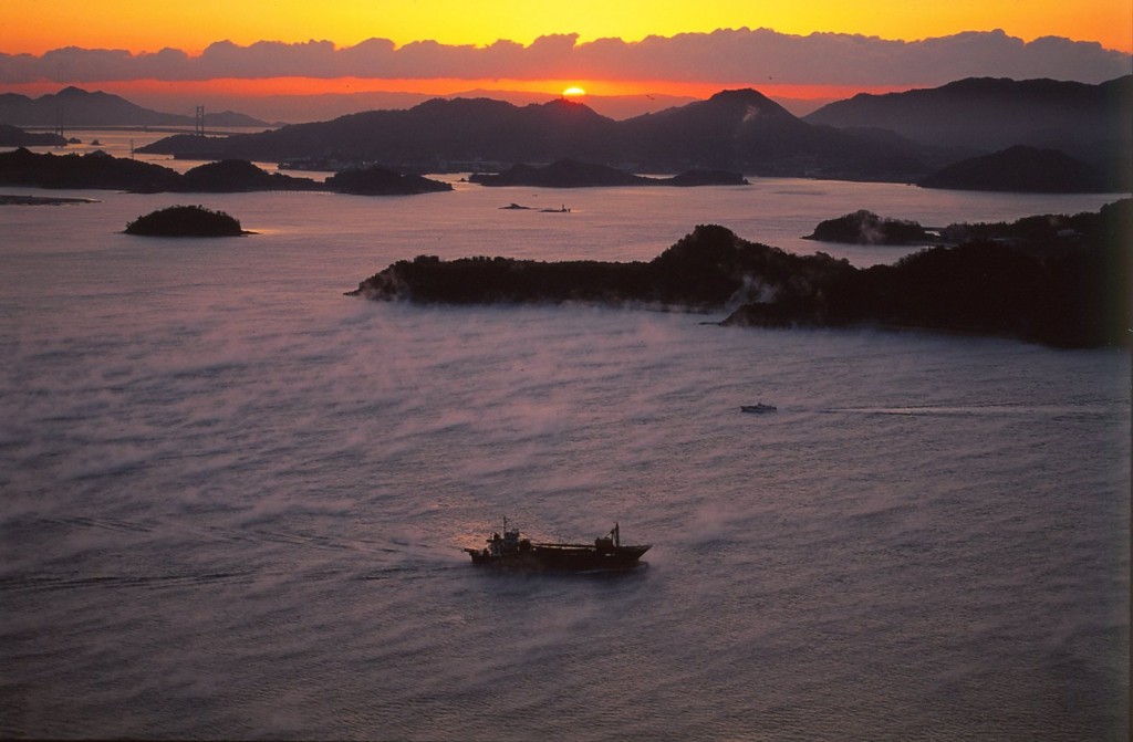
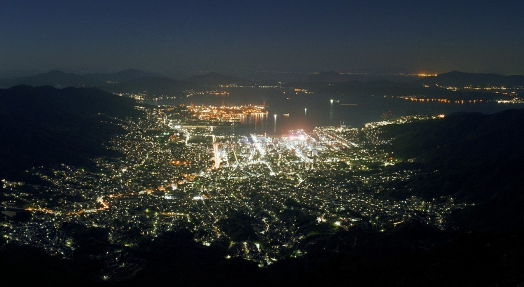
Haigamine
3/3

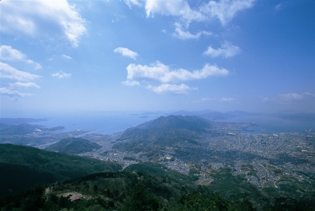

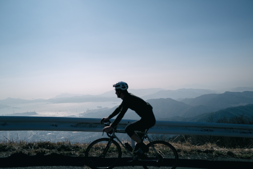

Haigamine at an altitude of 737m is counted as one of the top three night views in Chugoku and Shikoku. Its height is more than twice the height of Mt. Hakodate, one of Japan's top three night views. You can see the lights of the city shining like a starry sky below your eyes, and it is reputed as a romantic spot. Hiking is also recommended during the daytime.
“In search of a superb photogenic view... Camera trip”


Hiroshima River Cruise
Travel time : About 60 minutes
1/3
A regular boat that starts at the foot of Motoyasu Bridge on the south side of the Atomic Bomb Dome and tours the Ota River. The 40-minute boat trip where you can fully enjoy the rivers and seas of Hiroshima is especially beautiful in spring when the cherry blossoms adorn the banks of the Peace Memorial Park. Sunset cruises with drinks are also available.
On foot About 5 minutes
Orizuru Tower
Travel time : Approx. 55 minutes
2/3
It is a 14-story tower above ground. From the rooftop observation deck you can see the Peace Memorial Park, the World Heritage Site of the Atomic Bomb Dome, and the city of Hiroshima. The Souvenir Shop on the first floor has a selection of popular souvenirs, and there are cafes on the 1st and 13th floors, making it ideal for a break and shopping during sightseeing.
Car Hiroshima Expressway No.4 Approx. 35 minutes
Hiroshima City Asa Zoological Park
Travel time : Approx. 100 minutes
3/3
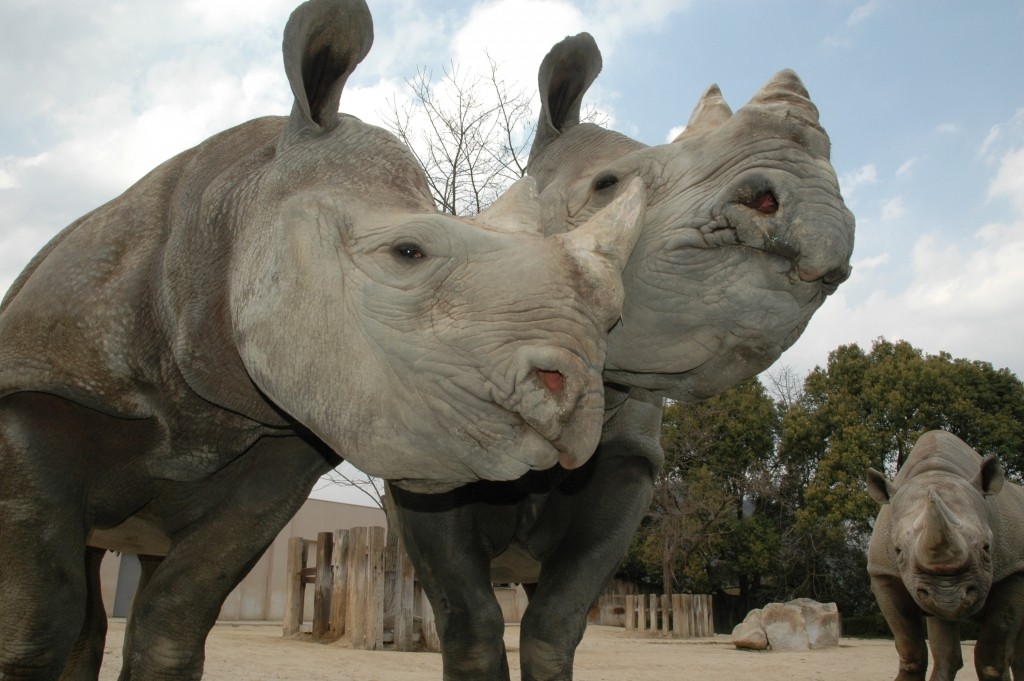
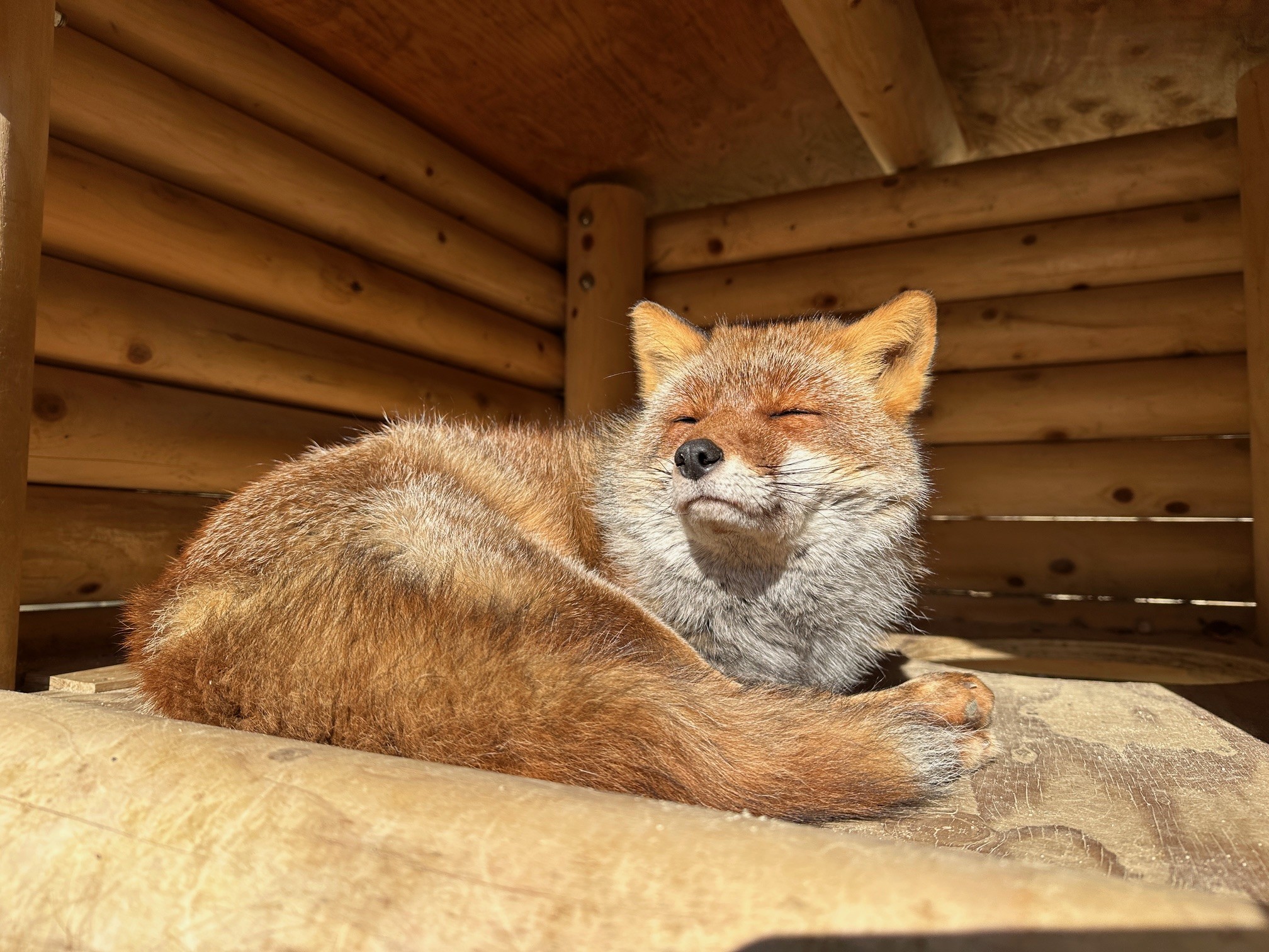
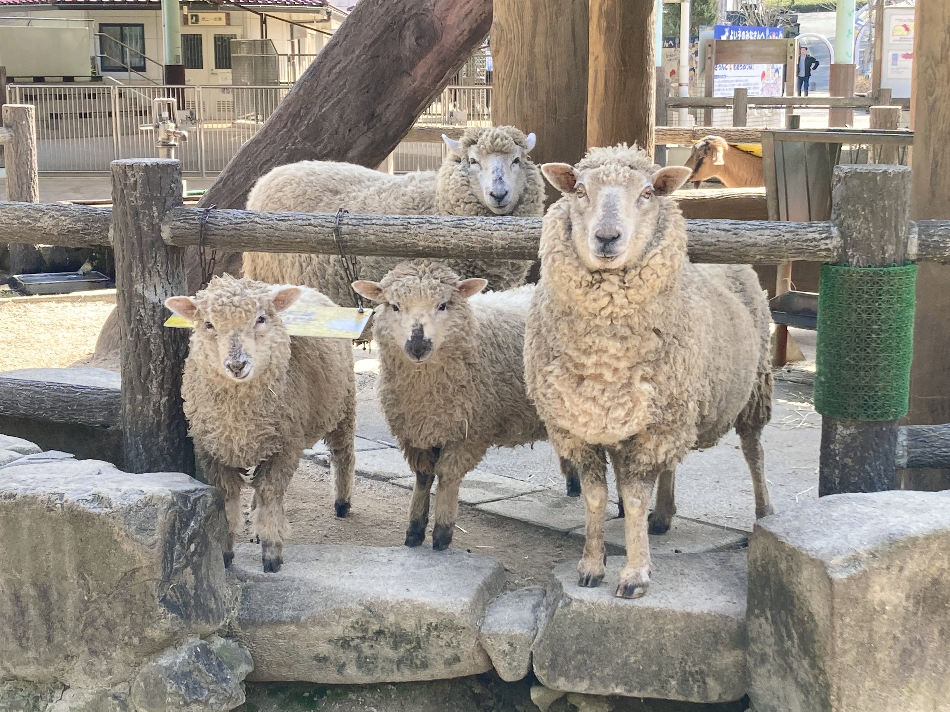
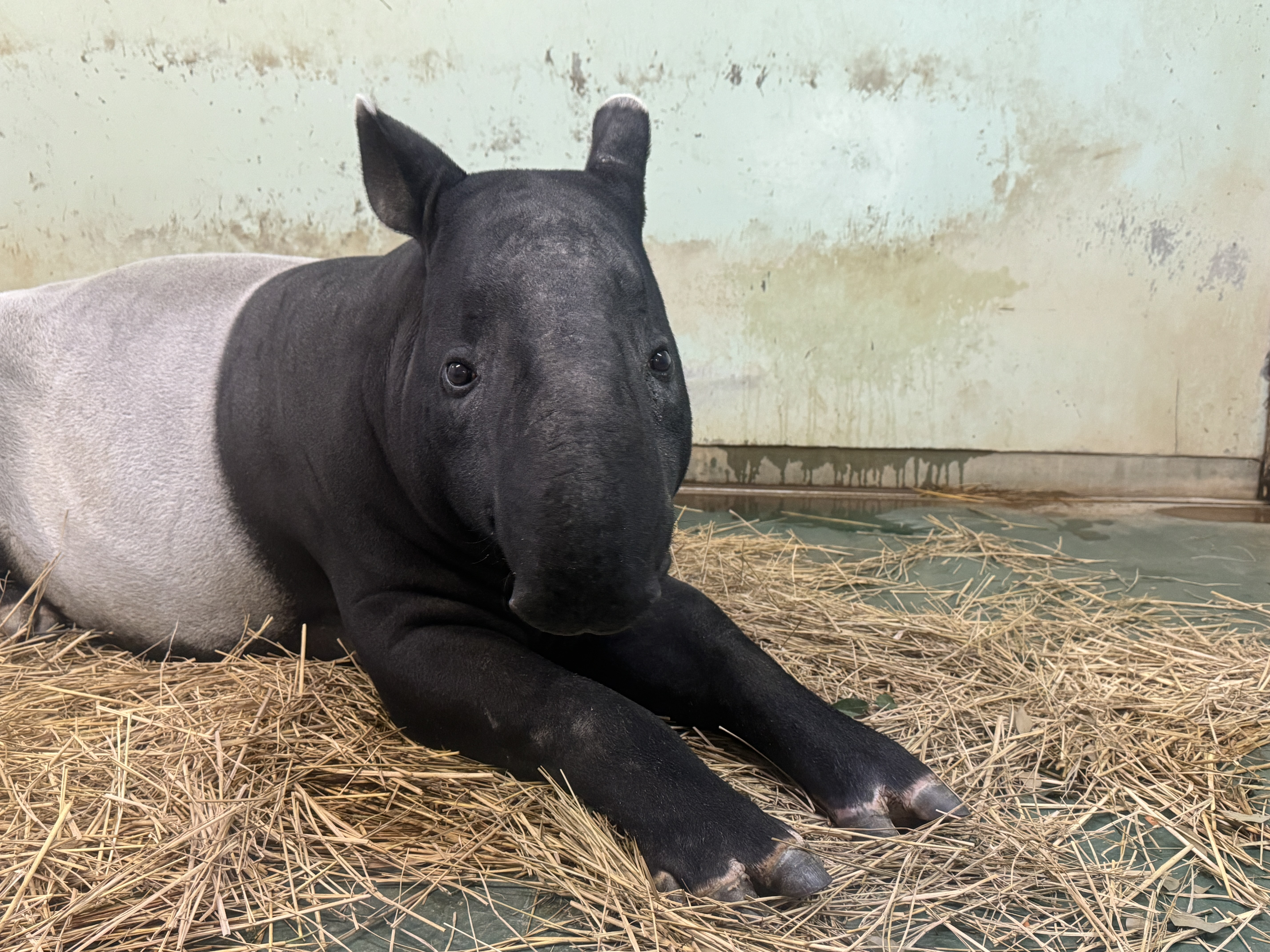
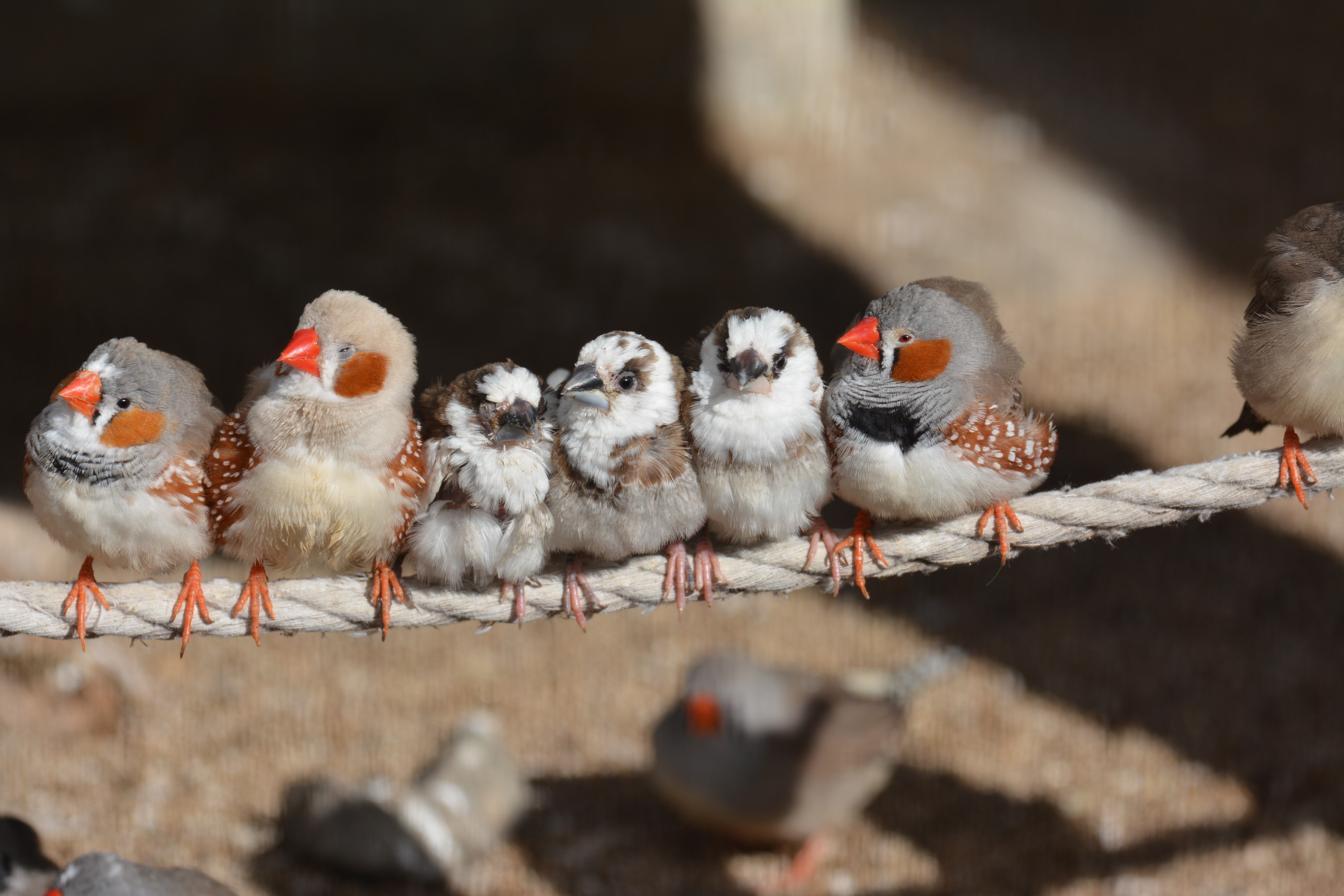


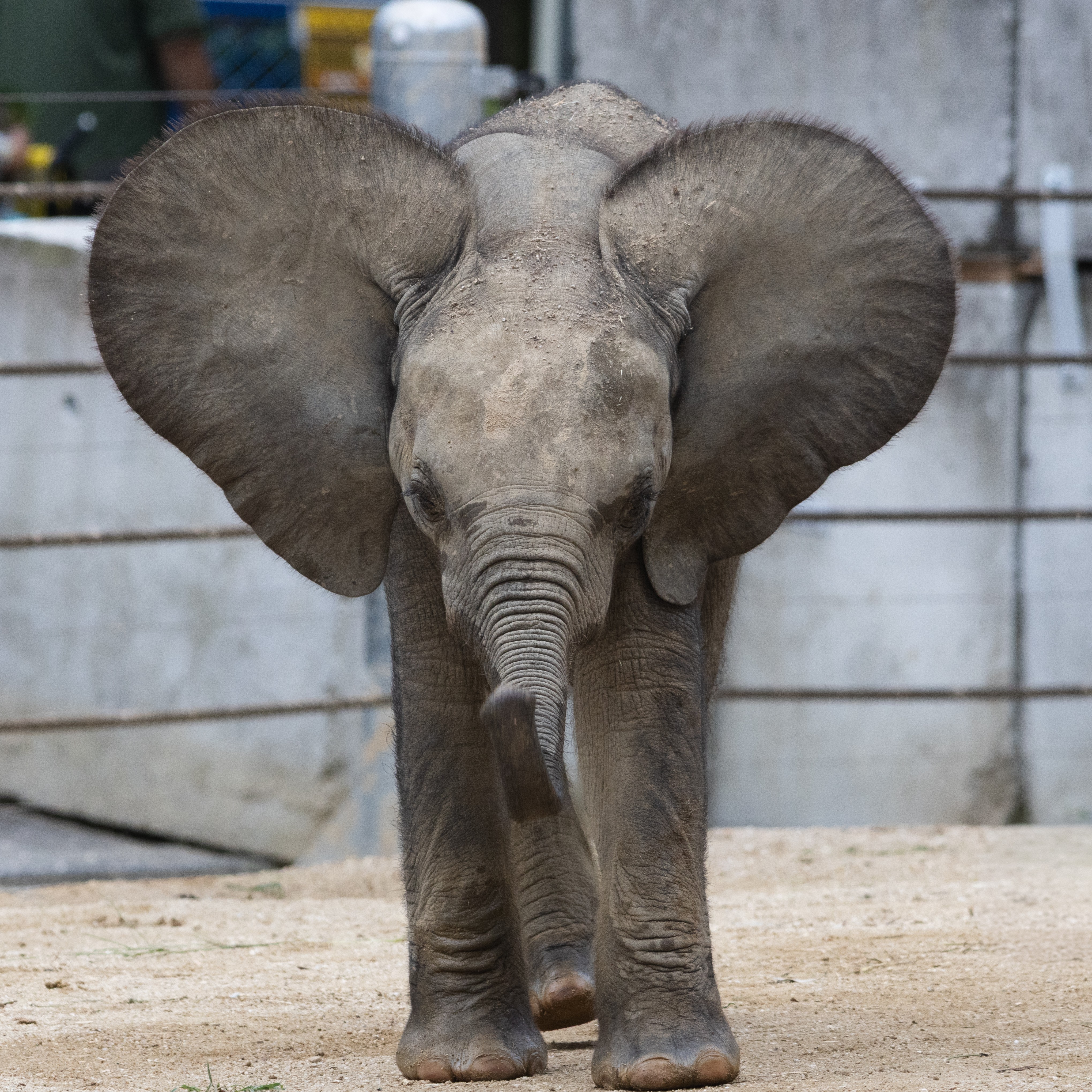
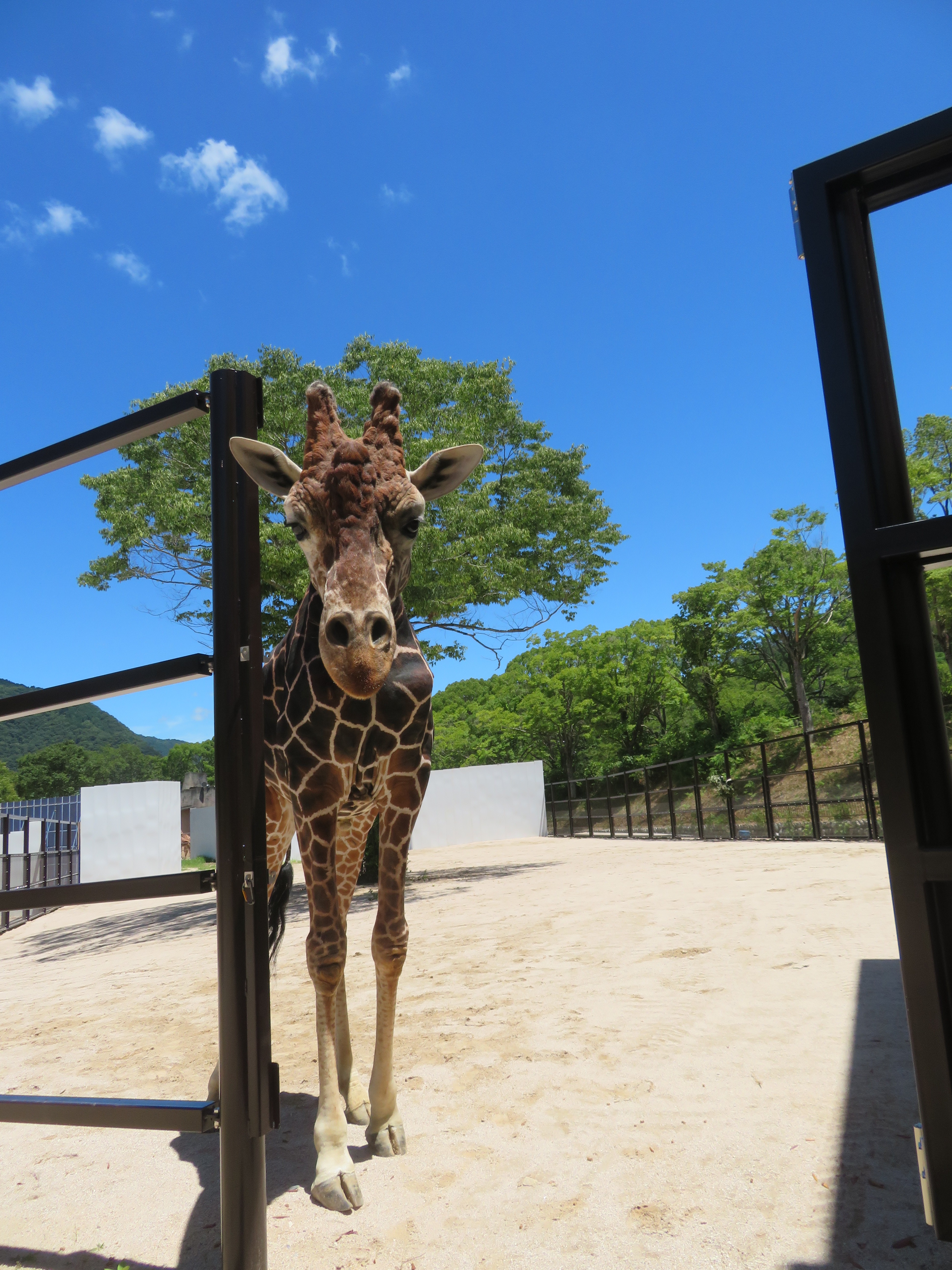
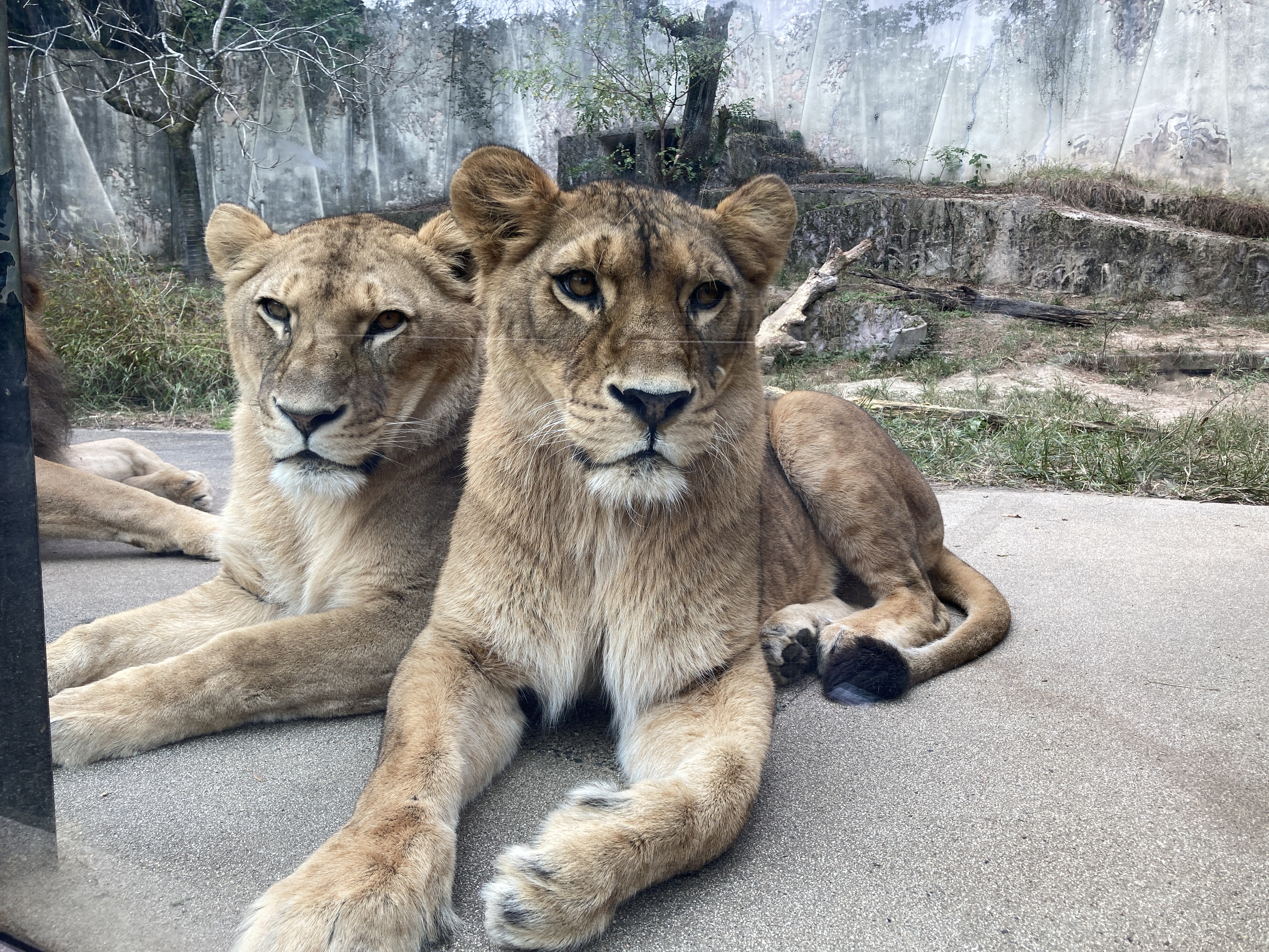
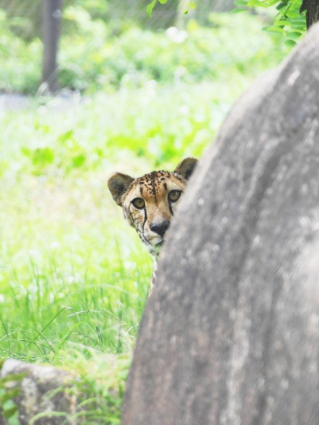
It is a zoo that has been loved for a long time by a wide range of generations, with exhibits that make use of the ecology and characteristics of animals in a park rich in nature. You can see lively animals up close, such as the “Giraffe Terrace” installed in the eyes of a giraffe and the “Lion Glass” where you can see lions through the glass.