Dive! Hiroshima Official Guide
We will introduce a course where you can enjoy not only the two World Heritage sites that Hiroshima is proud of, but also attractive spots in Yamaguchi prefecture.
“Start here ! The royal road from Hiroshima to Iwakuni”


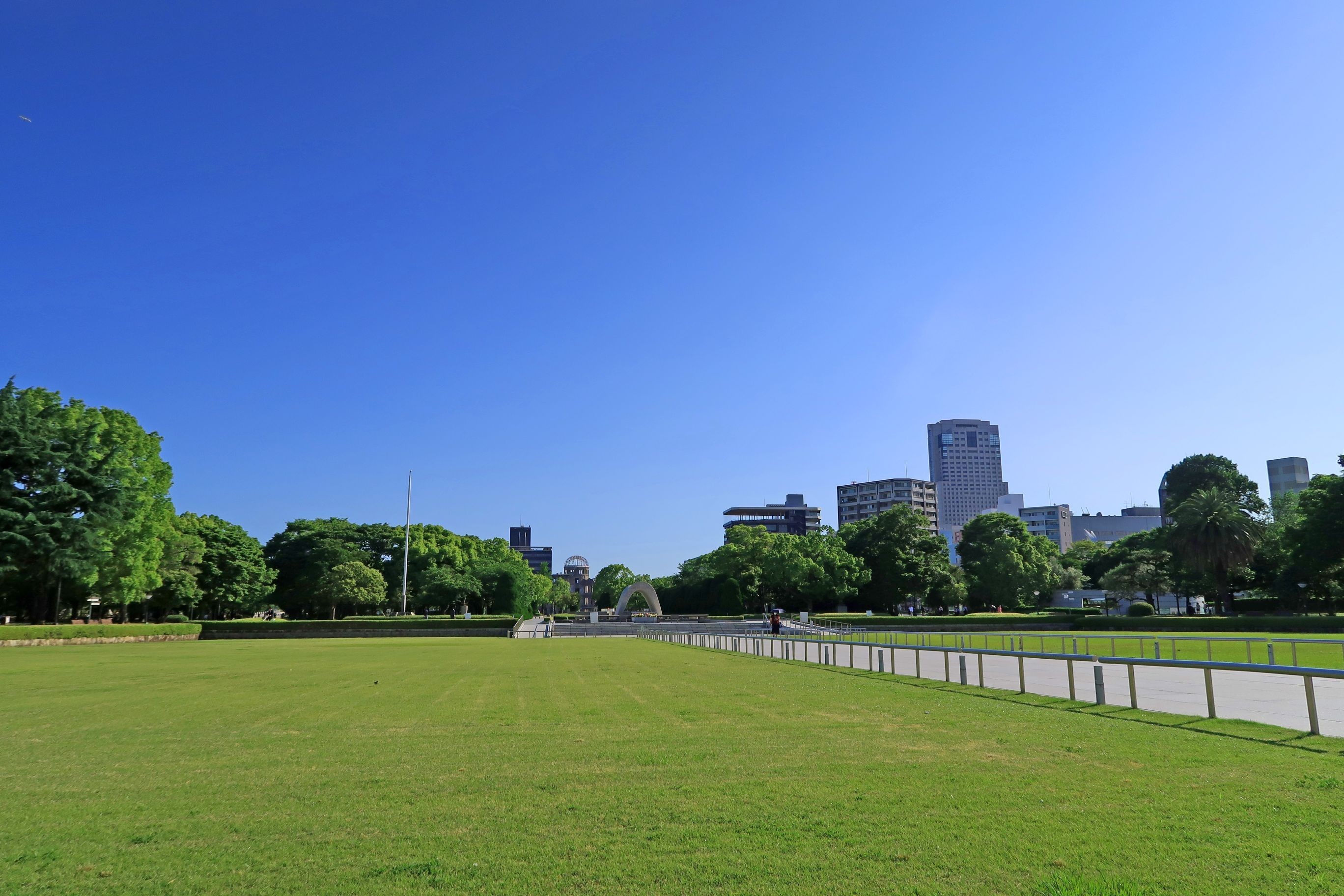
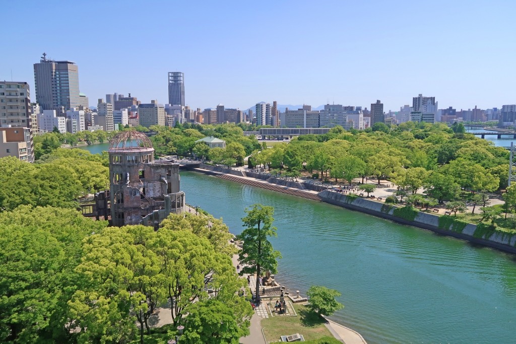
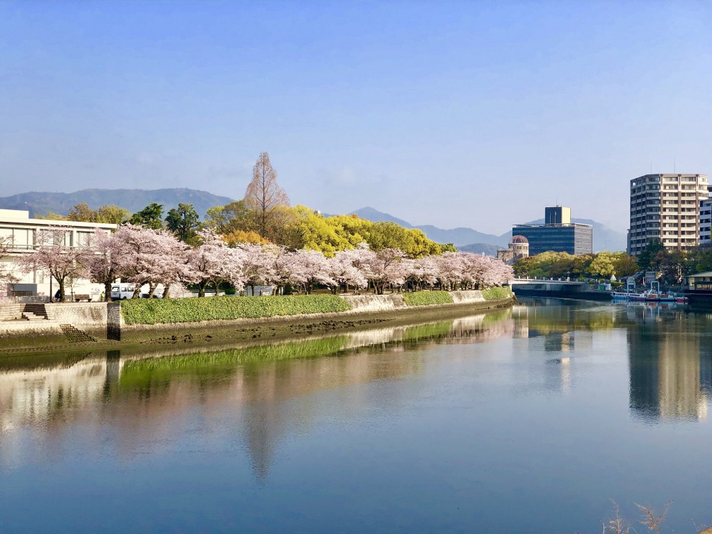
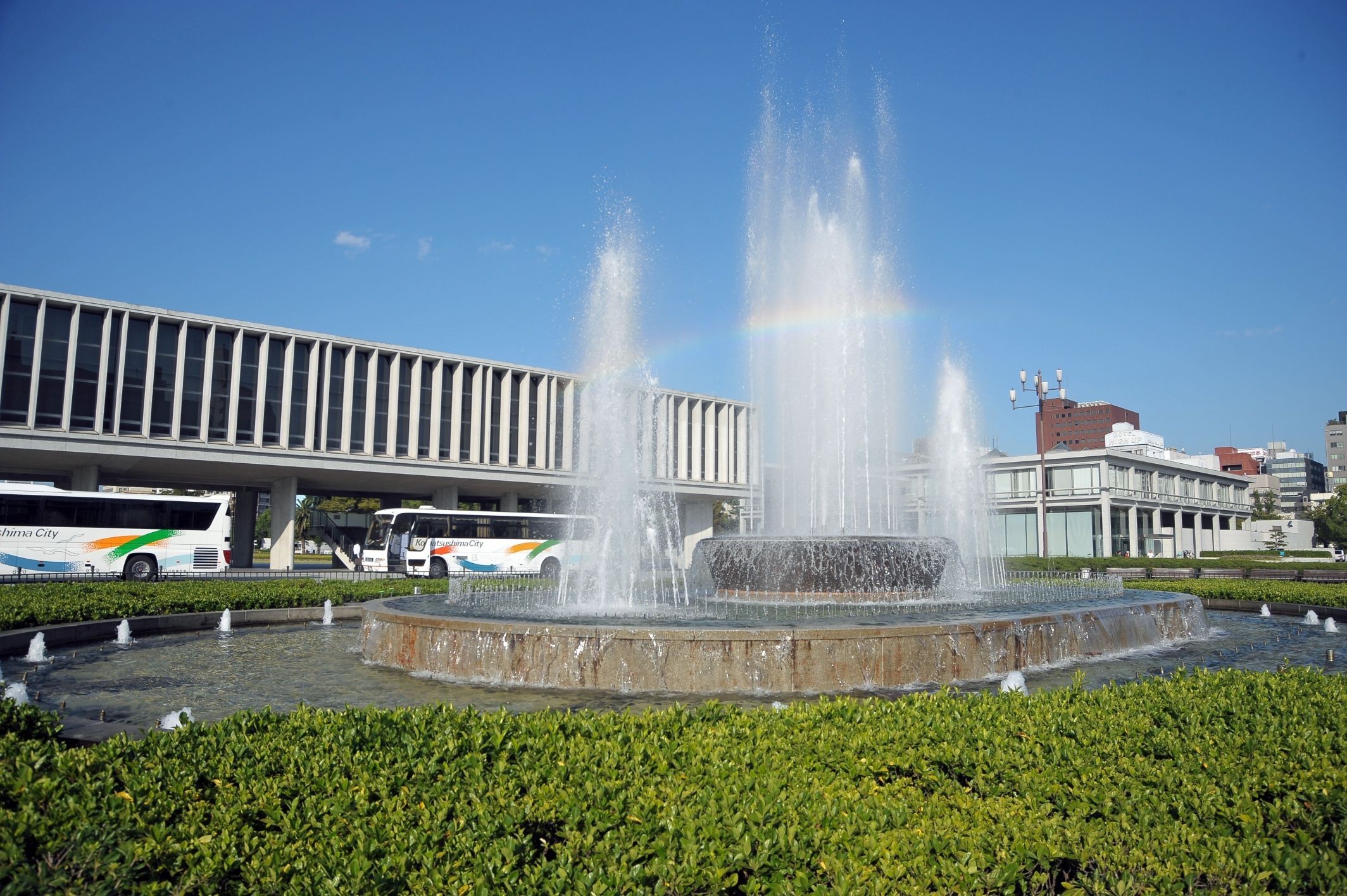
Peace Memorial Park
Travel time : Approx. 90 minutes
1/6

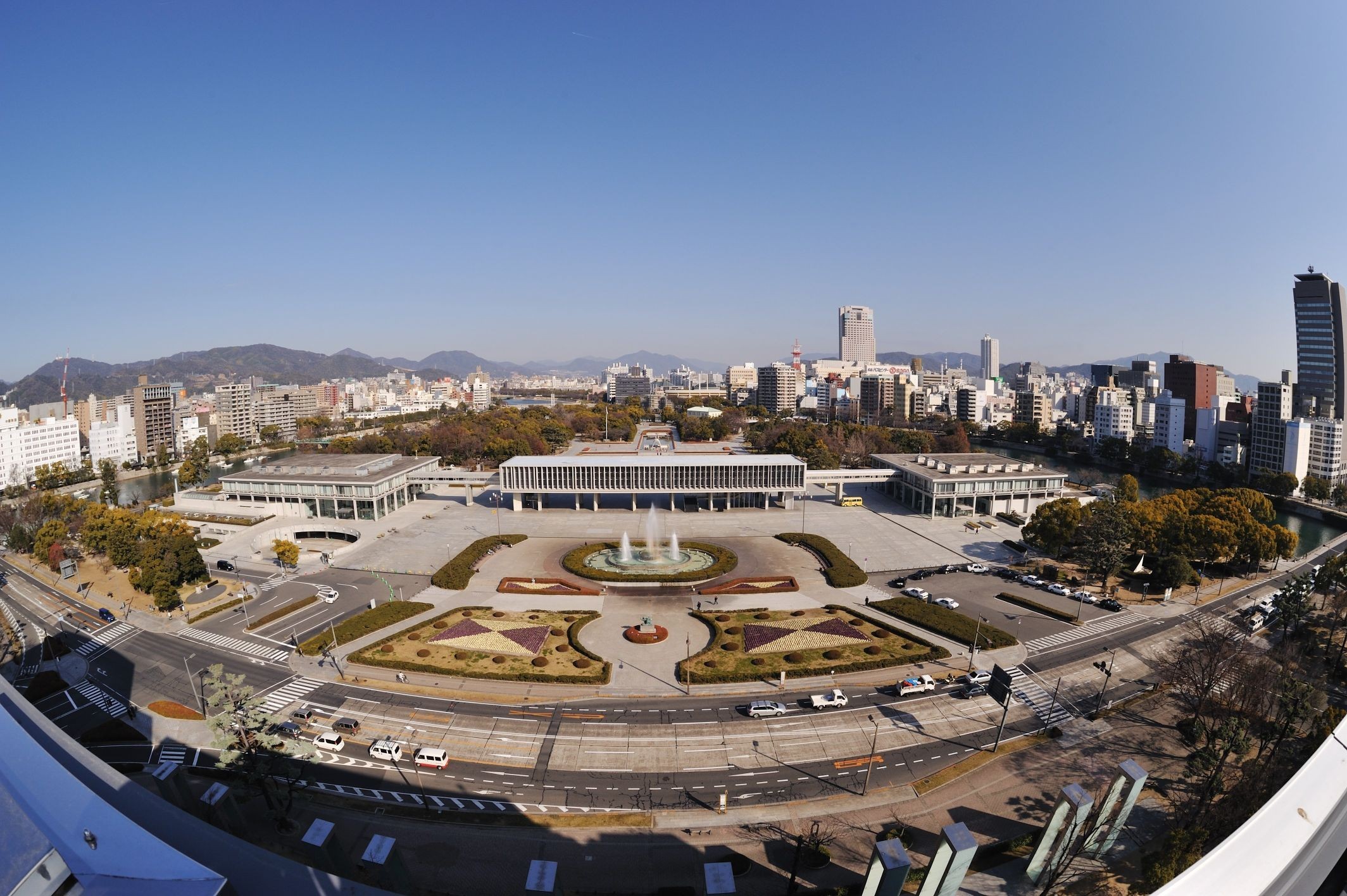
〒730-0811 1 Nakajima-cho and 1-10 Otemachi, Naka-ku, Hiroshima City, Hiroshima Prefecture
082-504-2390
〒730-0811 1 Nakajima-cho and 1-10 Otemachi, Naka-ku, Hiroshima City, Hiroshima Prefecture
082-504-2390
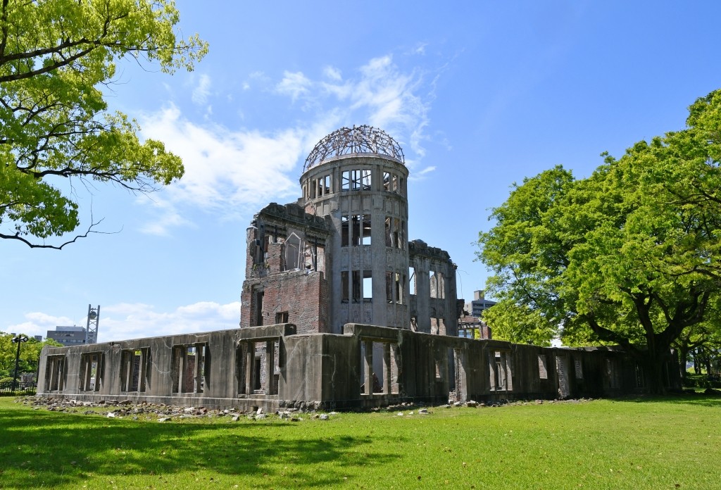
Atomic Bomb Dome
2/6
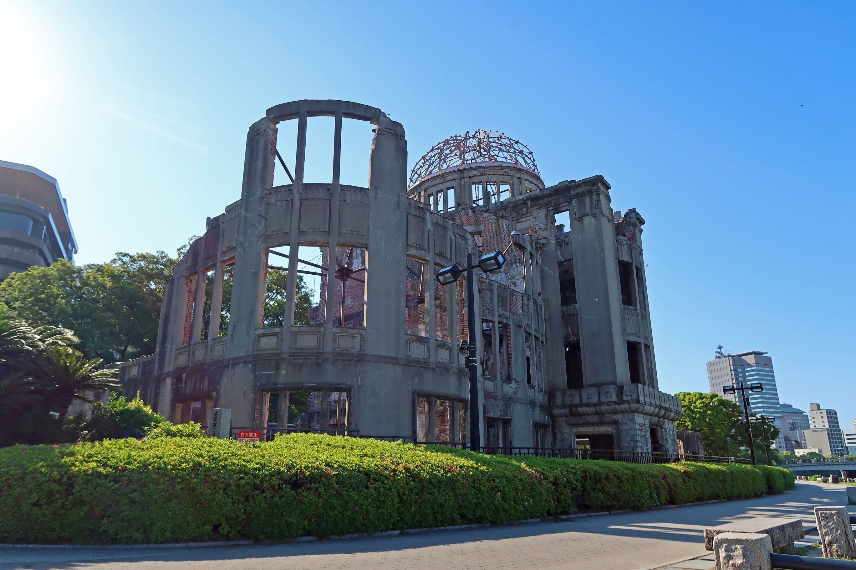
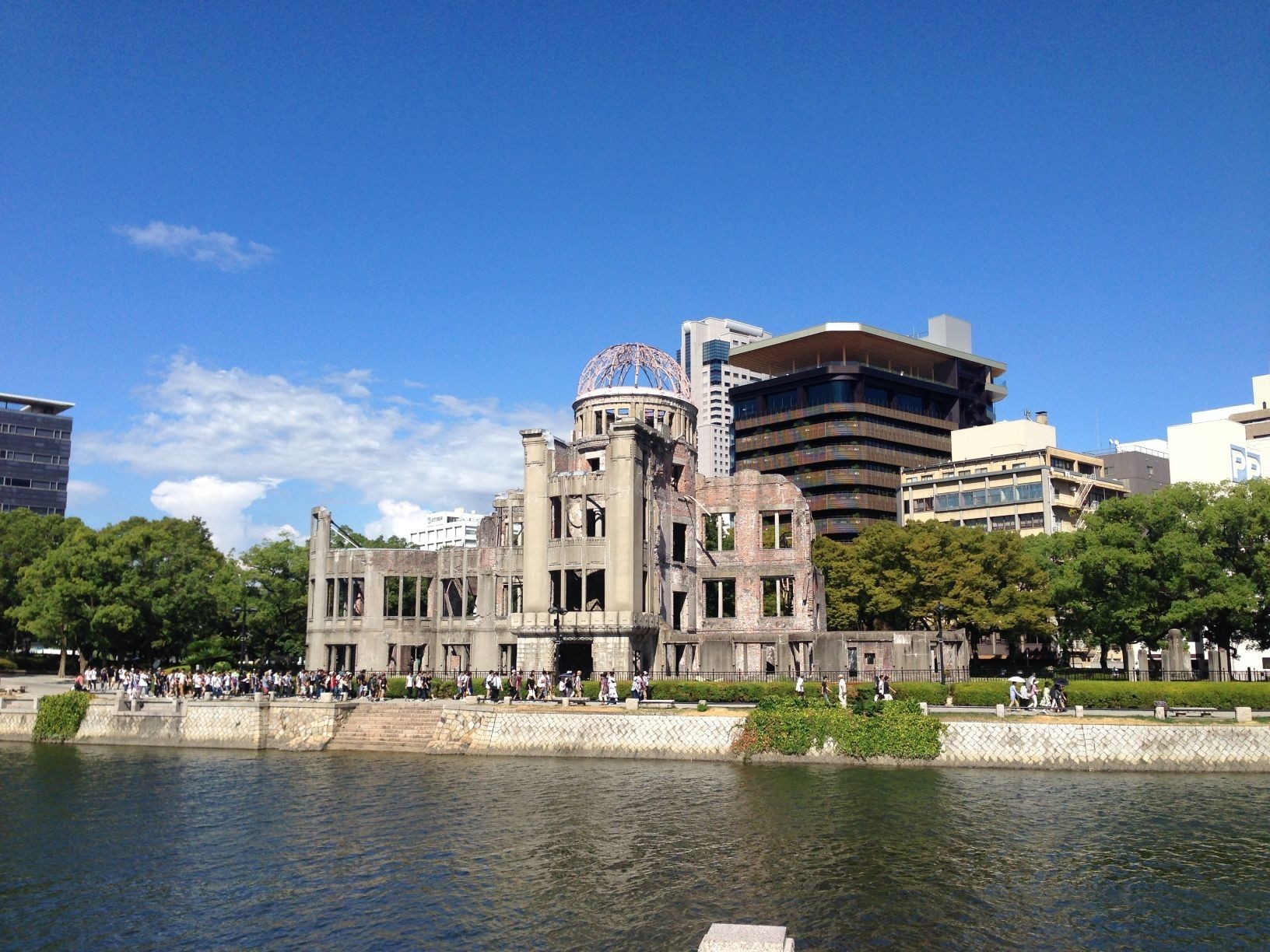
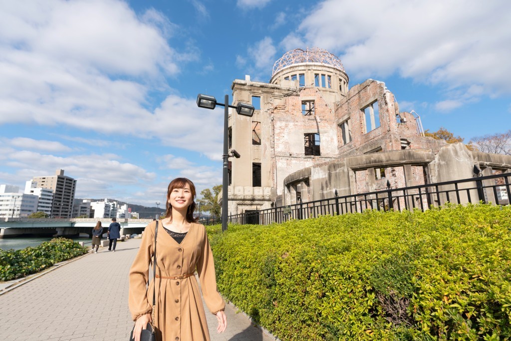
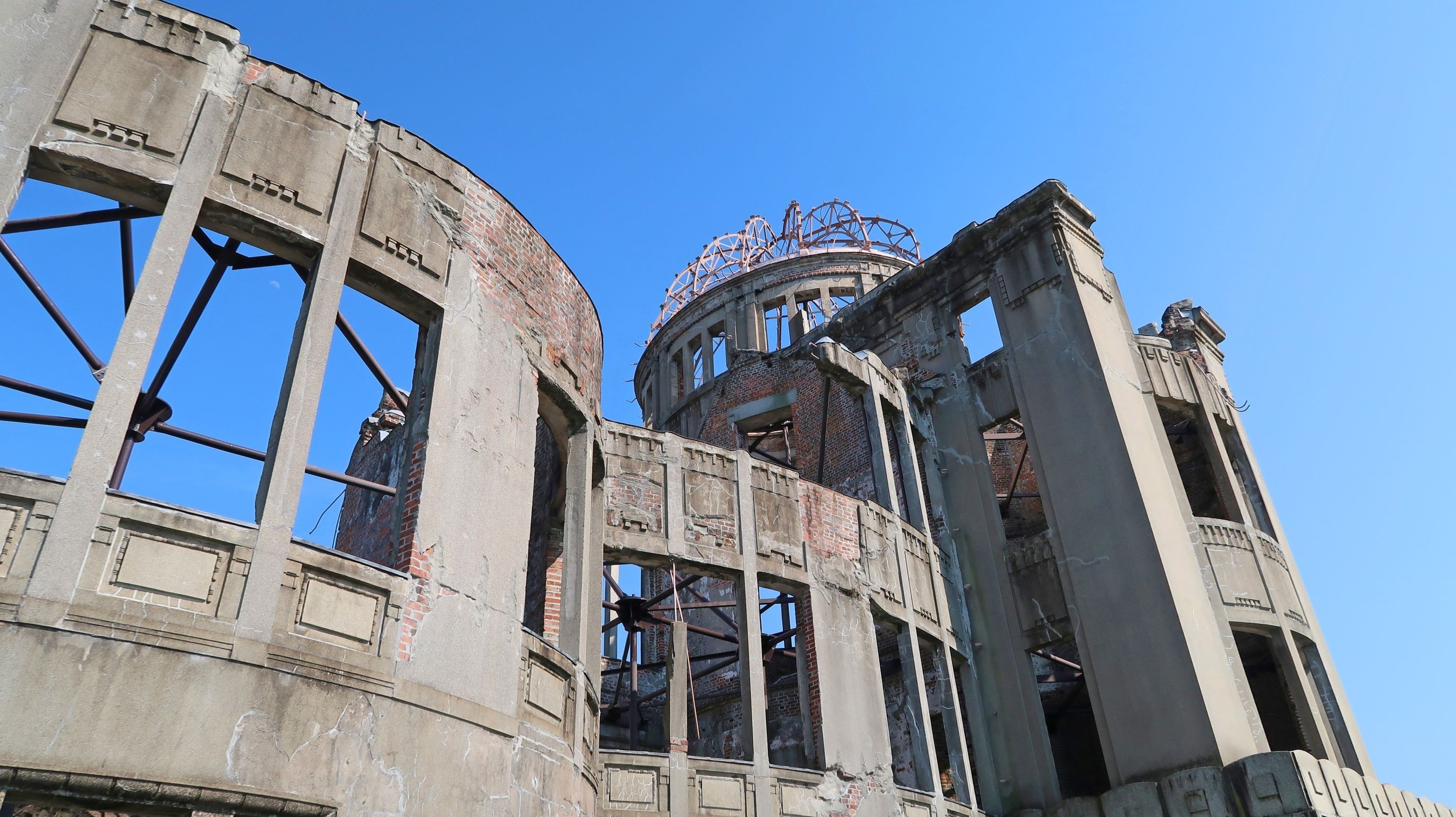
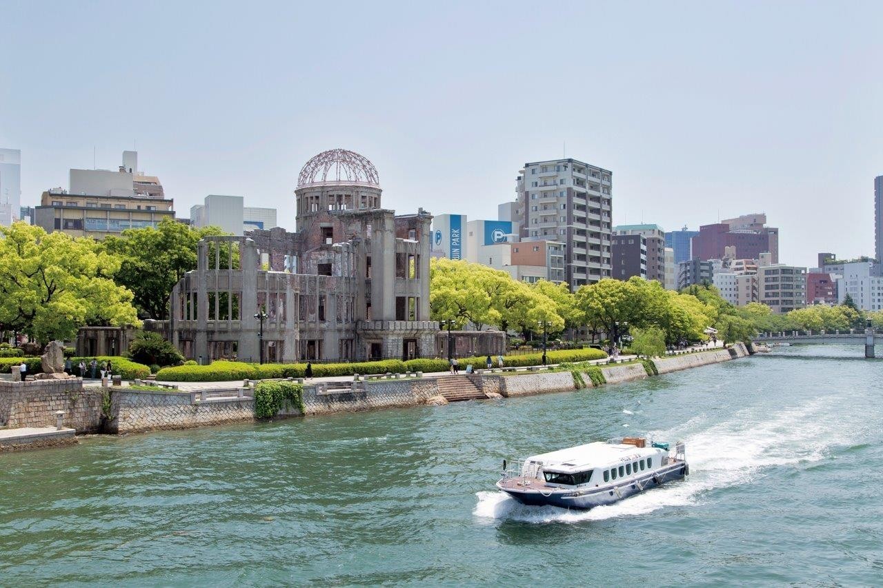
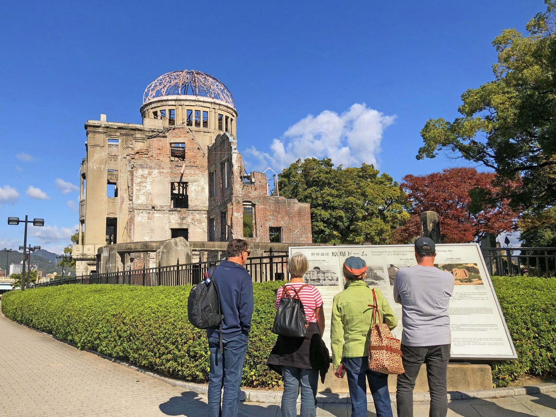
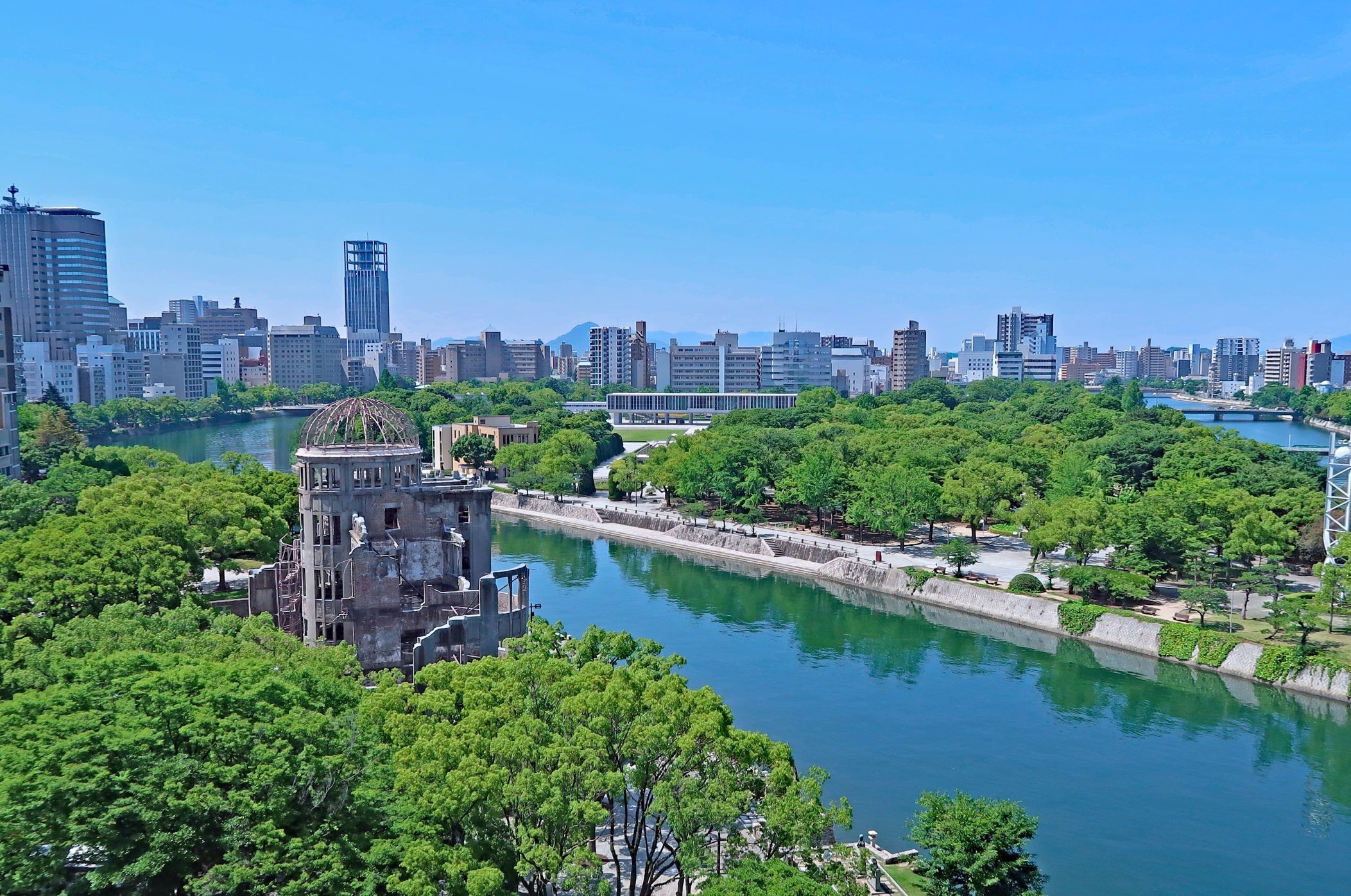
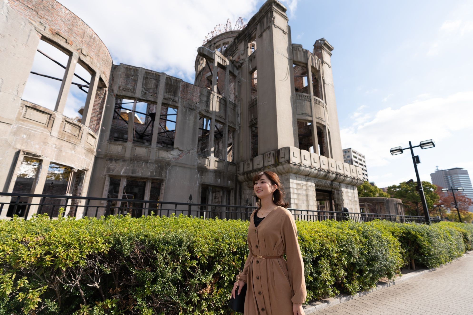
It was built in 1915 by the design supervision of the Czech architect Jan Letzl, and was familiar to citizens by its characteristic green dome. The atomic bomb exploded about 160 meters southeast of this building, 600 meters above the sky, and the building was wrecked and burned down. After that, it was registered as a UNESCO World Heritage Site in December 1996 as a symbol of a pledge for the abolition of nuclear weapons and permanent peace, as well as conveying the reality of the atomic bombing.
On foot About 5 minutes
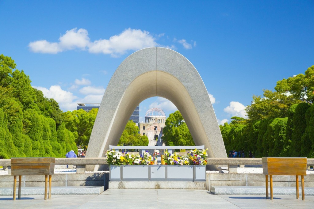
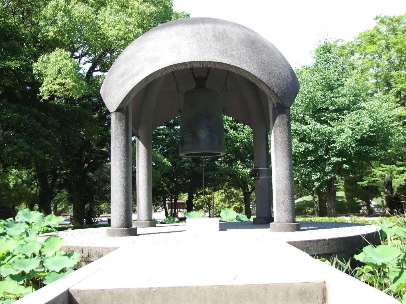
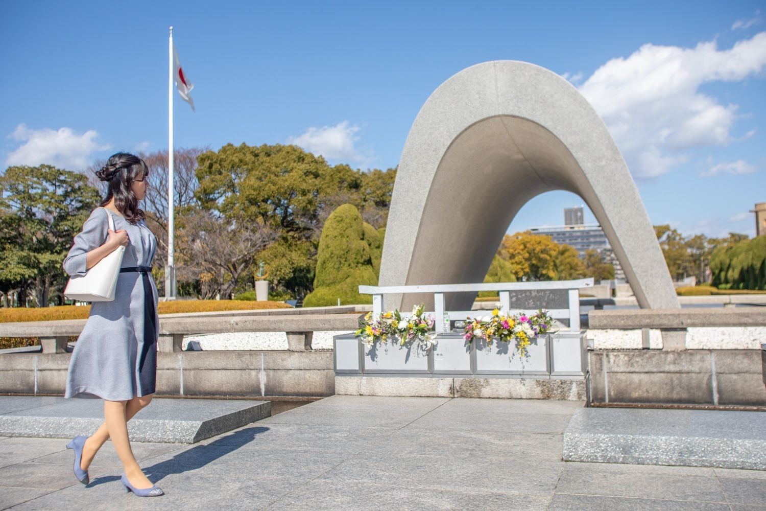
Cenotaph for the A-bomb Victims
3/6
It was designed by architect Kenzo Tange with the desire to rebuild Hiroshima as a peaceful city, and the roof part is shaped like a Japanese house with the desire to protect the spirits of the victims of the atomic bomb from rain and dew. A list of the victims of the atomic bomb is stored in the stone chamber in the center.
On foot About 1 minute
Hiroshima Peace Memorial Museum
4/6
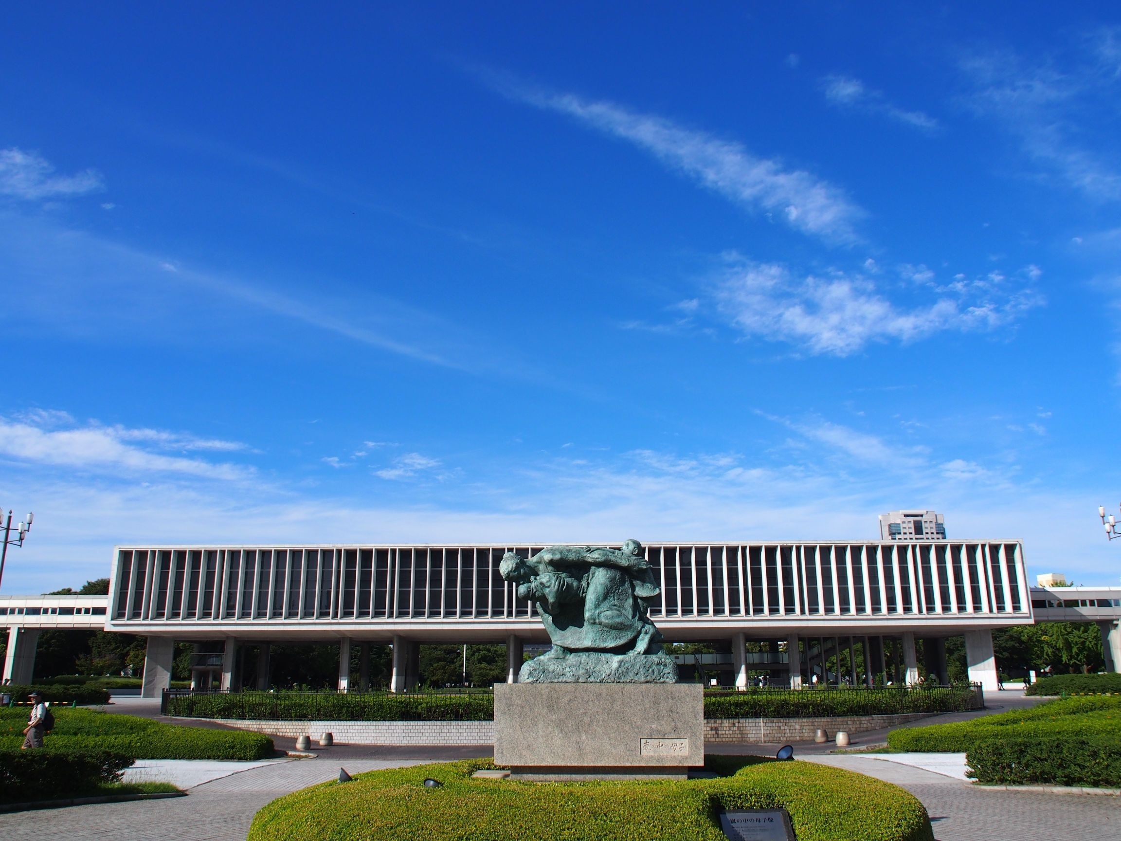
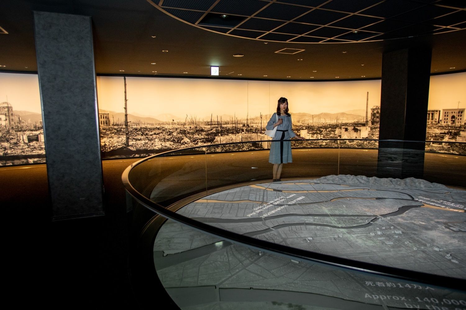
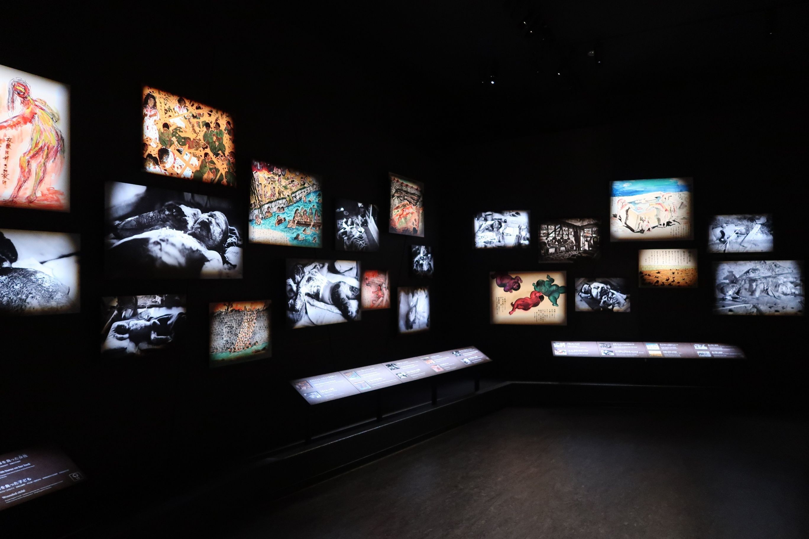
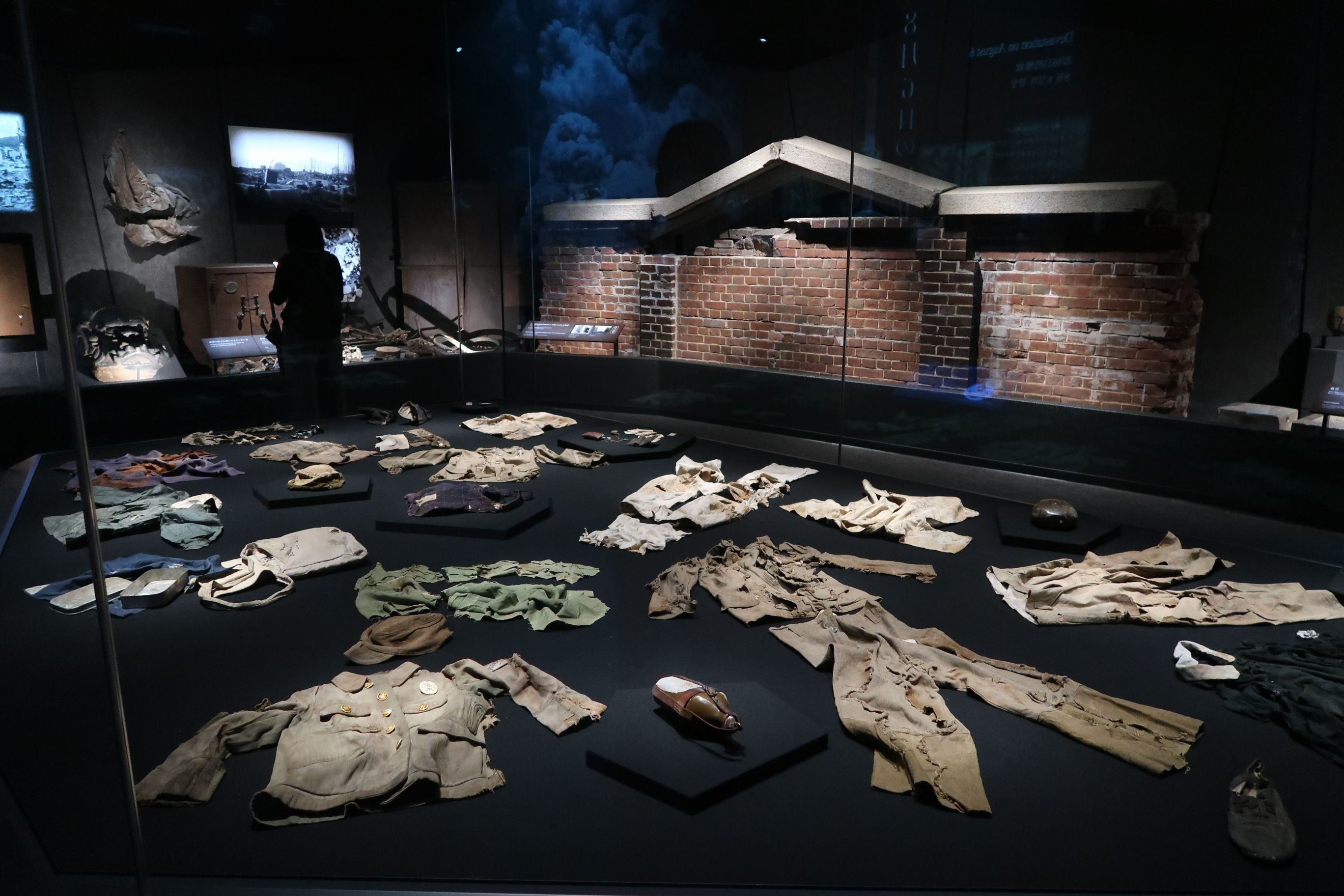
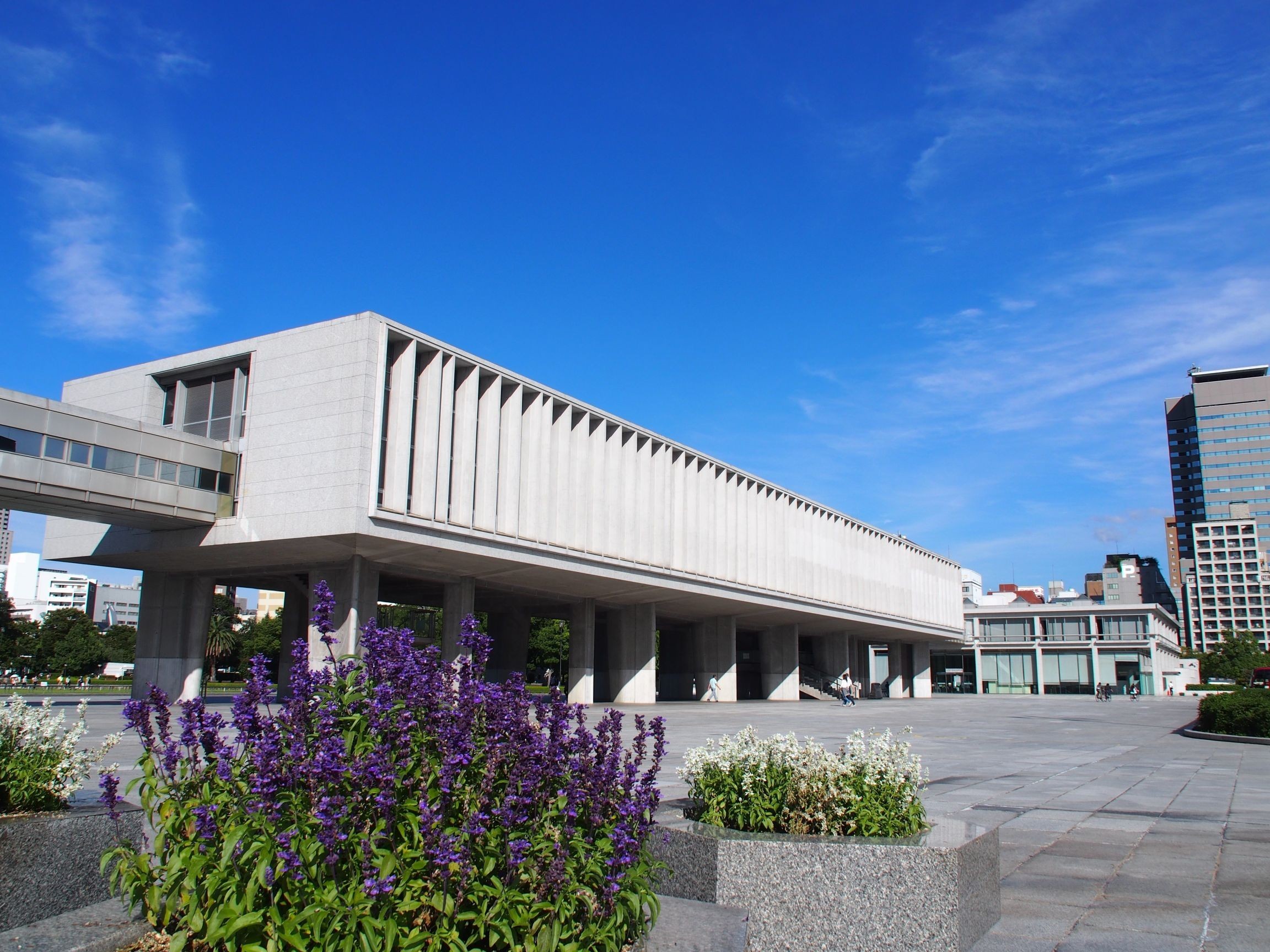
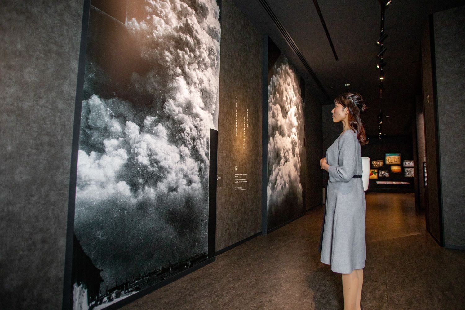
The museum was opened in 1955 (Showa 30) with the aim of conveying the actual situation of the damage caused by the atomic bomb to people around the world and contributing to the abolition of nuclear weapons, which is Hiroshima's heart, and the realization of world peace. It consists of the East Building and the Main Building, and collects and exhibits photographs and materials showing the survivors' belongings and the devastation of the atomic bombing, and introduces the history of Hiroshima before and after the atomic bombing, and the situation of the nuclear age.
On foot Approx. 15 minutes
Lunch in the prefectural office area Approx. 90 minutes
On foot Approx. 15 minutes
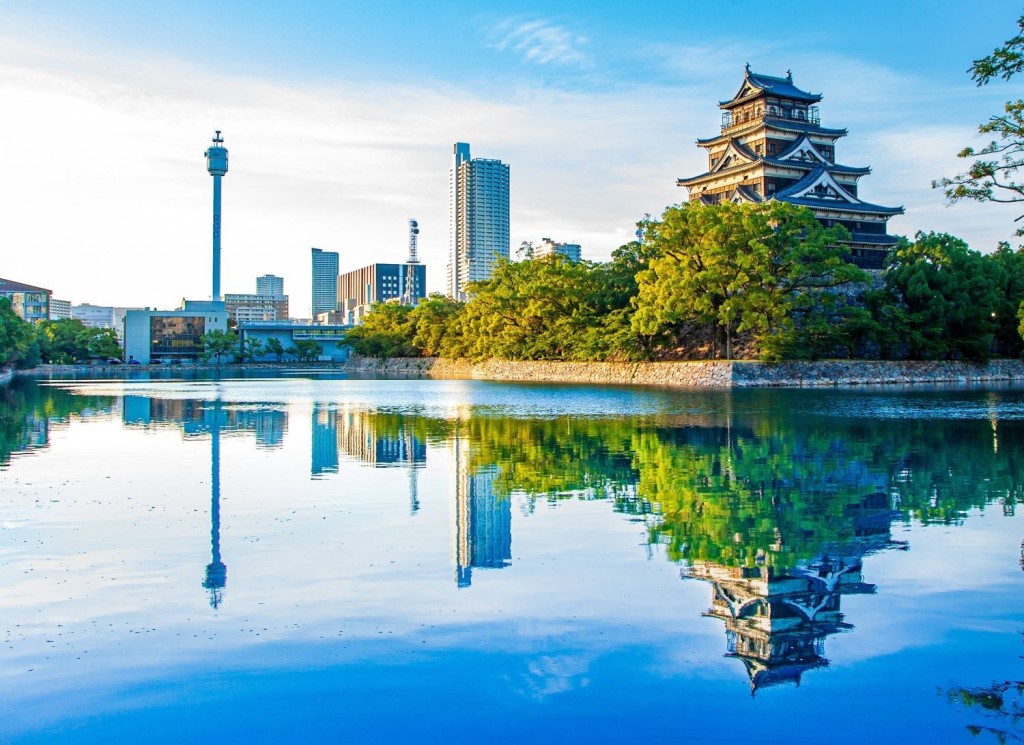
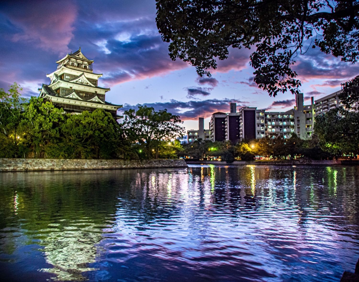
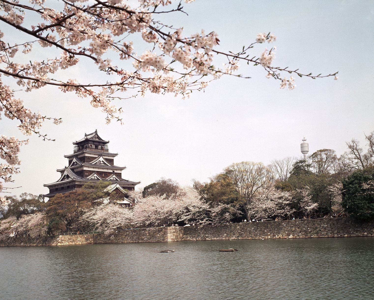
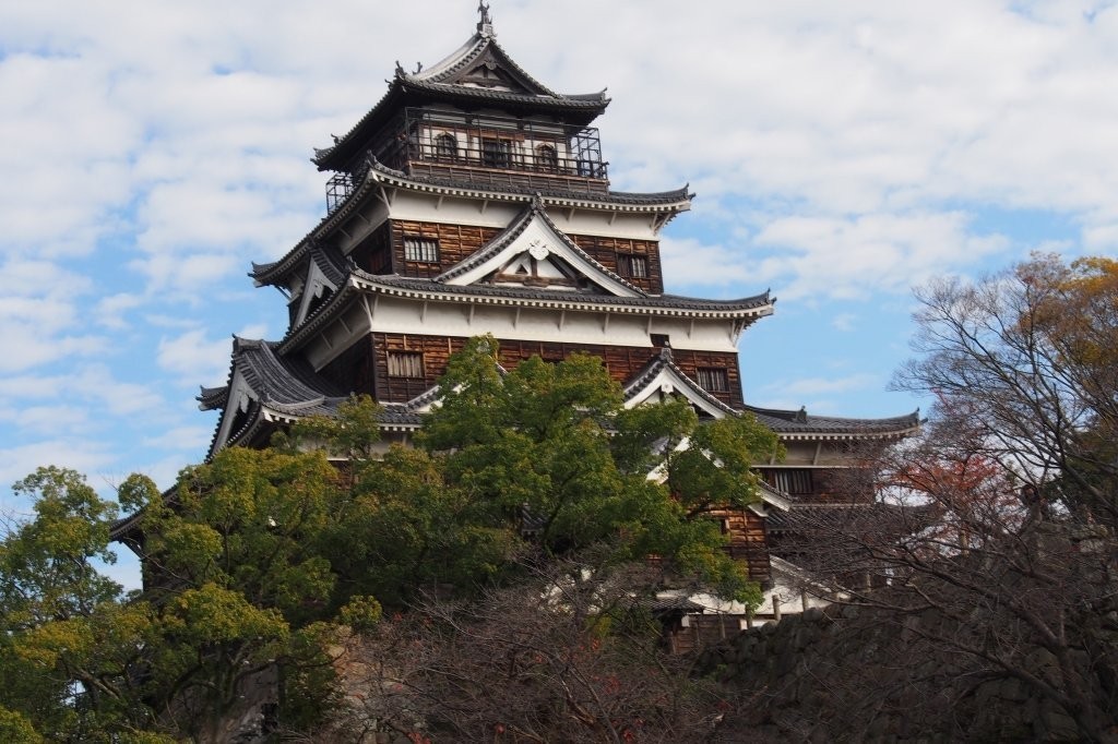
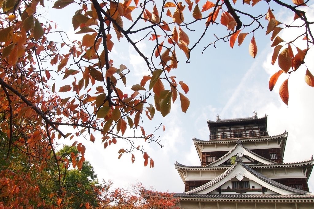
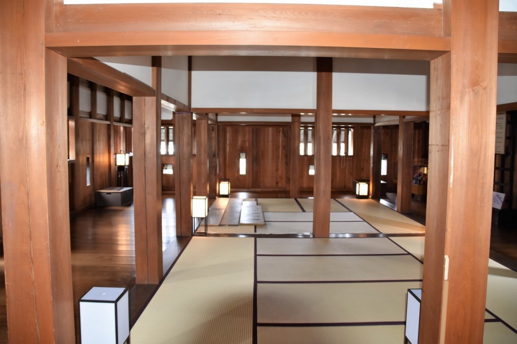
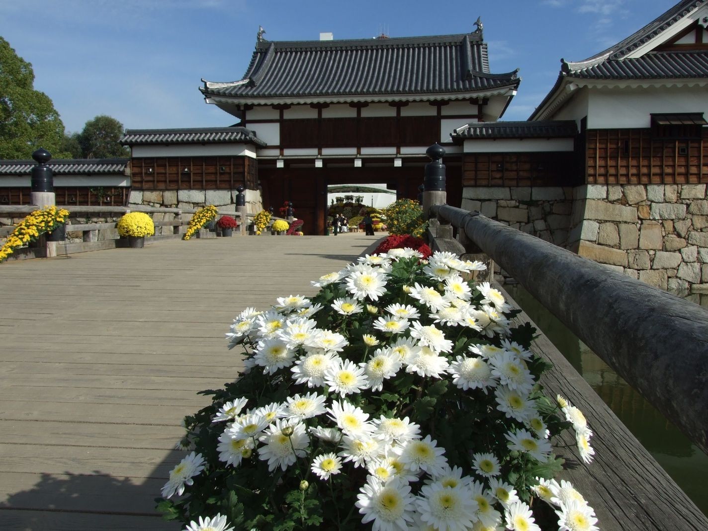
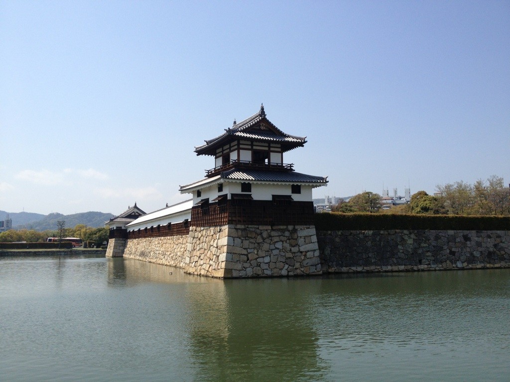
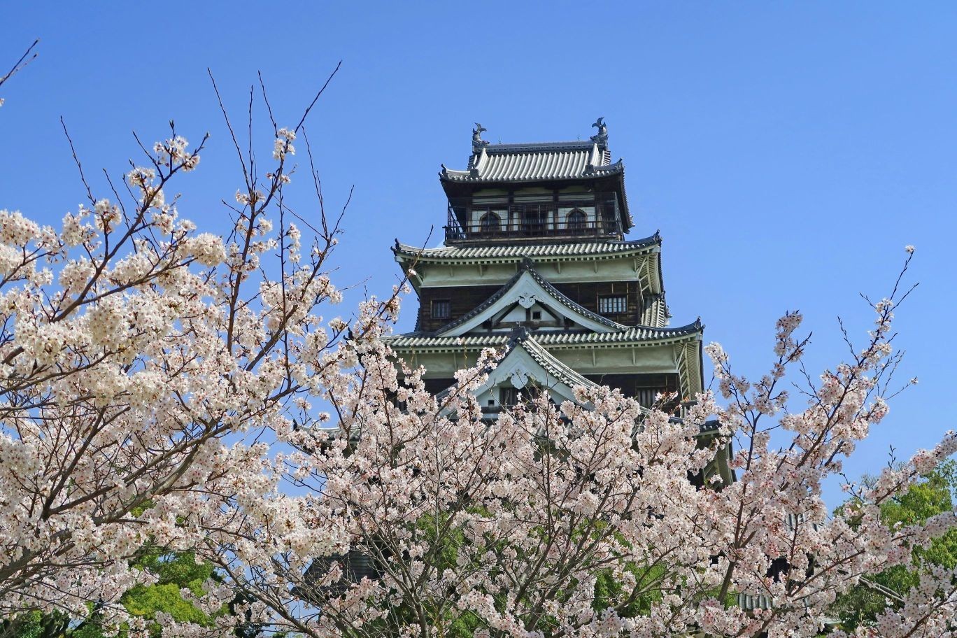
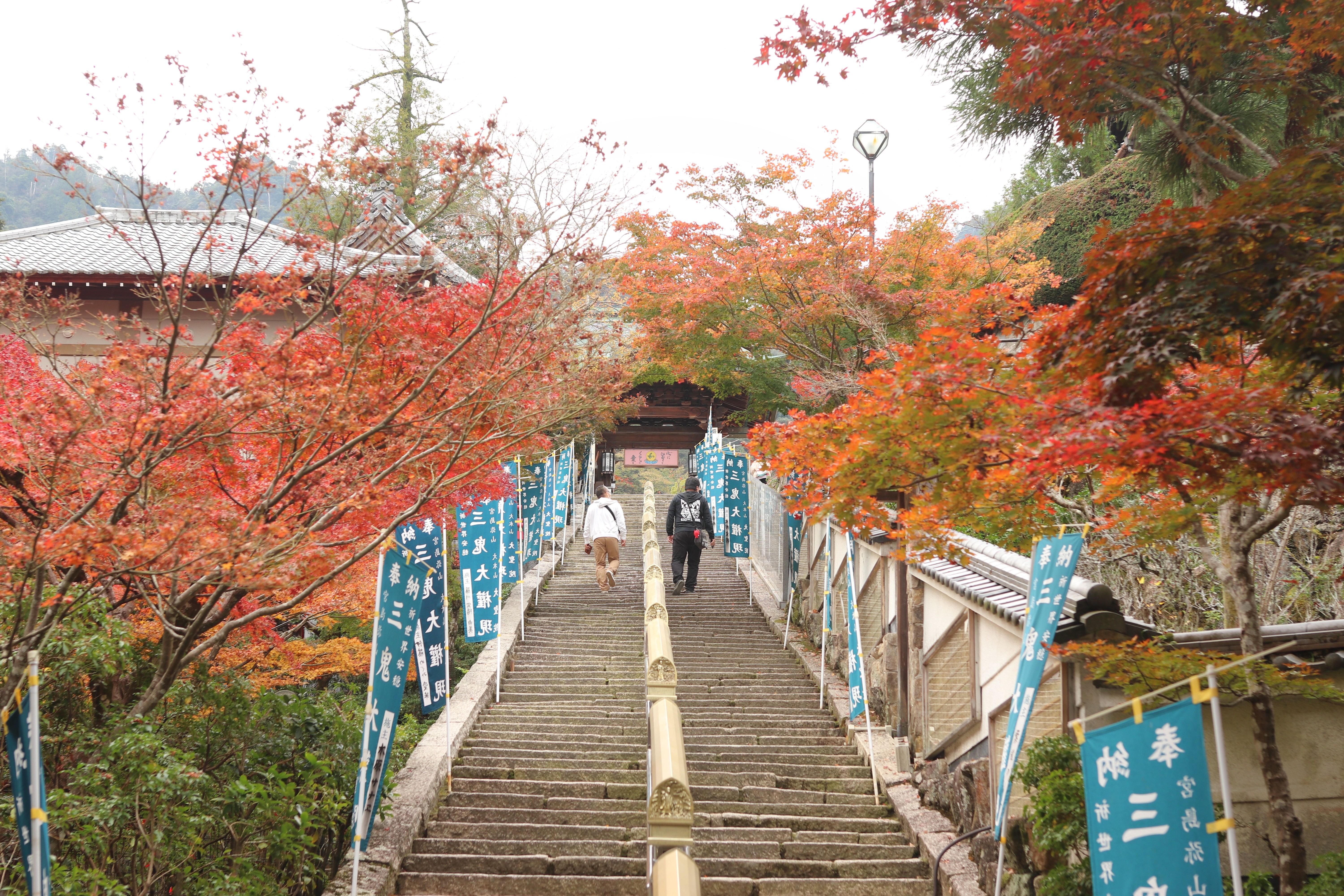
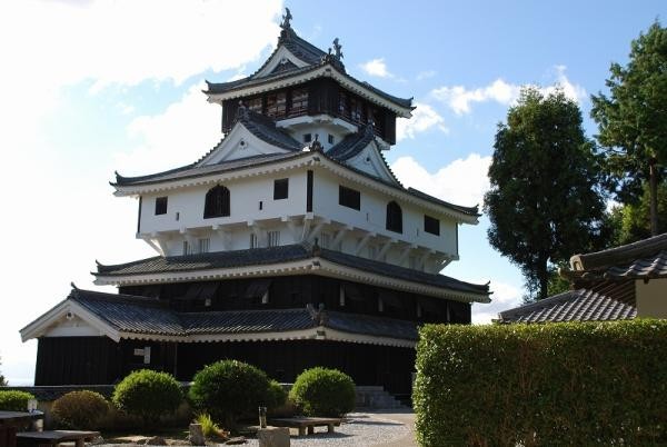
Hiroshima Castle
Travel time : Approx. 45 minutes
5/6

〒730-0011 21-1 Motomachi, Naka-ku, Hiroshima City, Hiroshima Prefecture
082-221-7512
082-227-7875
It is a castle built by Terumoto Mori, known as one of the member of the Concil of Five Elders of Toyotomi Hideyoshi. It was destroyed by the atomic bomb, but the exterior was restored in Showa 33 (1958). Currently, it is a historical museum with the theme of samurai culture.
There are performances held every Sundaysm performed by the Aki Hiroshima Bushotai.
〒730-0011 21-1 Motomachi, Naka-ku, Hiroshima City, Hiroshima Prefecture
082-221-7512
082-227-7875
On foot About 10 minutes
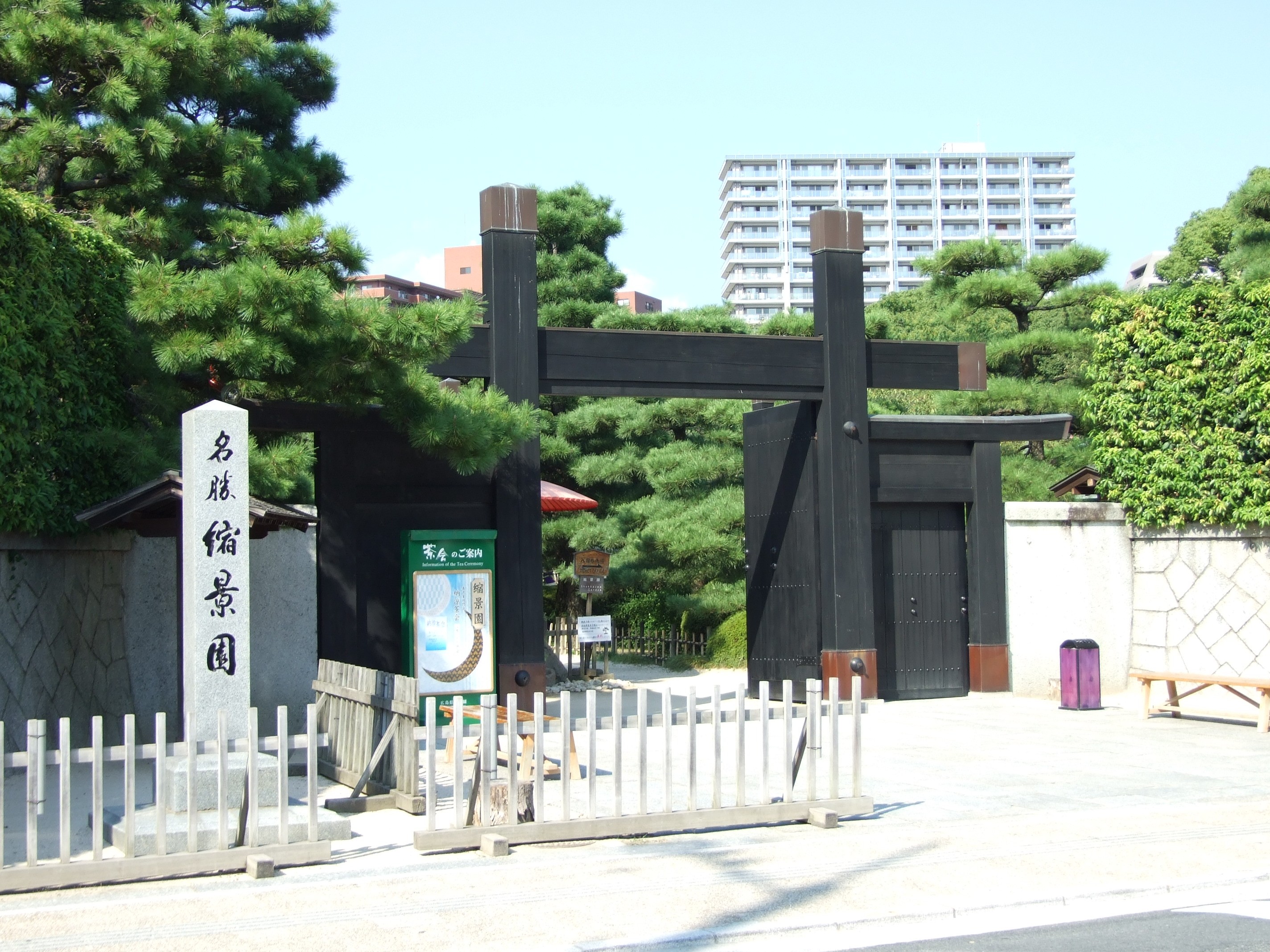
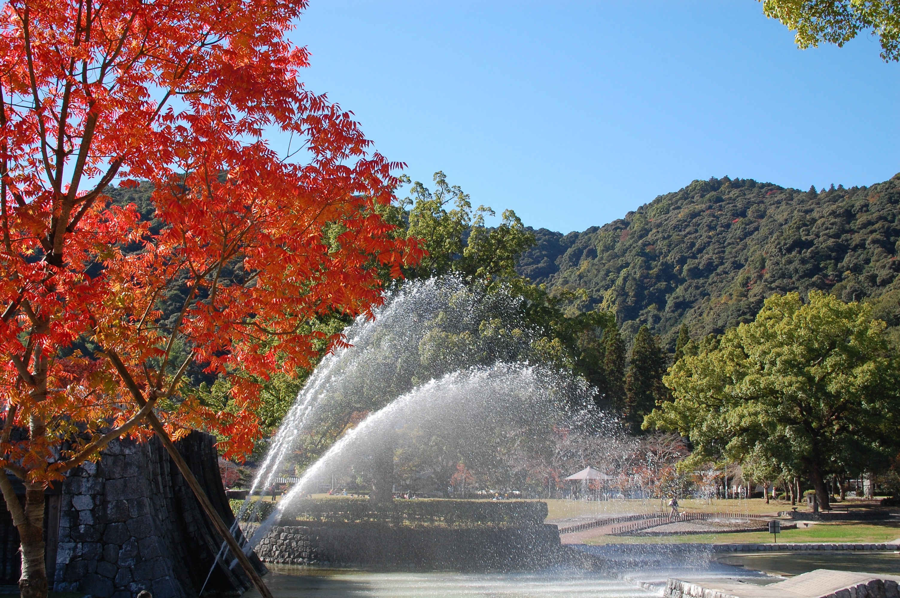
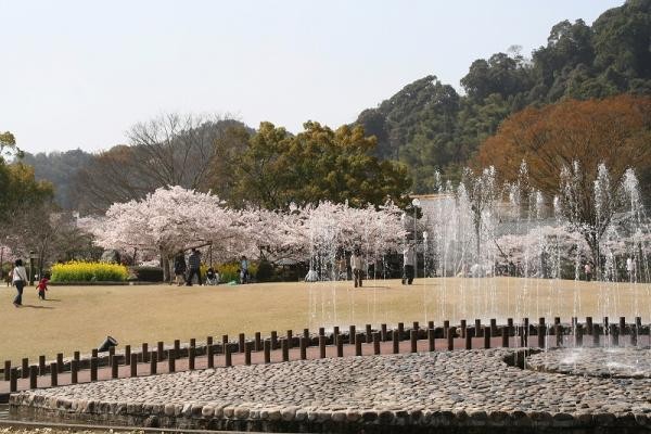
Shukkeien
Travel time : Approx. 75 minutes
6/6
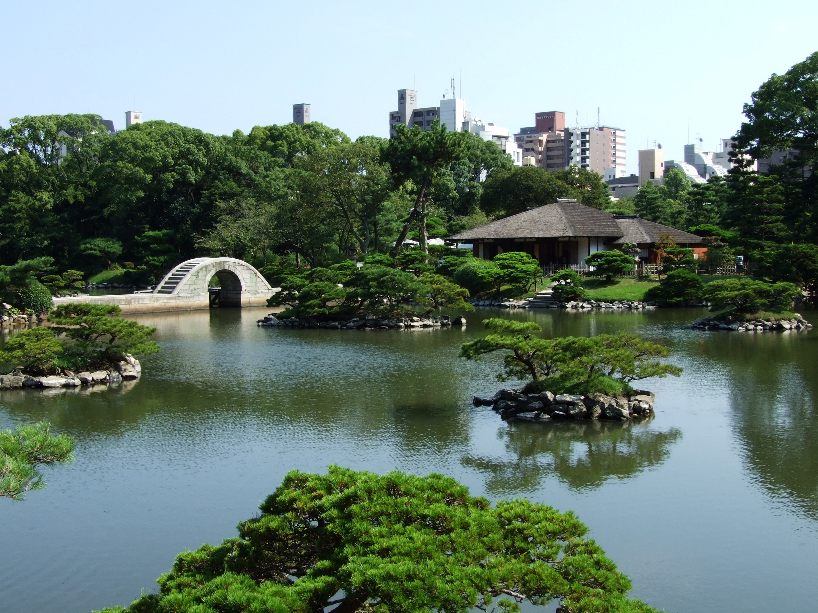
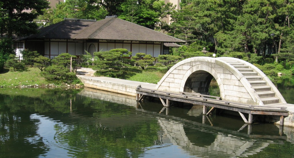
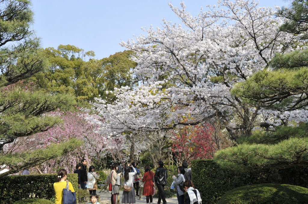
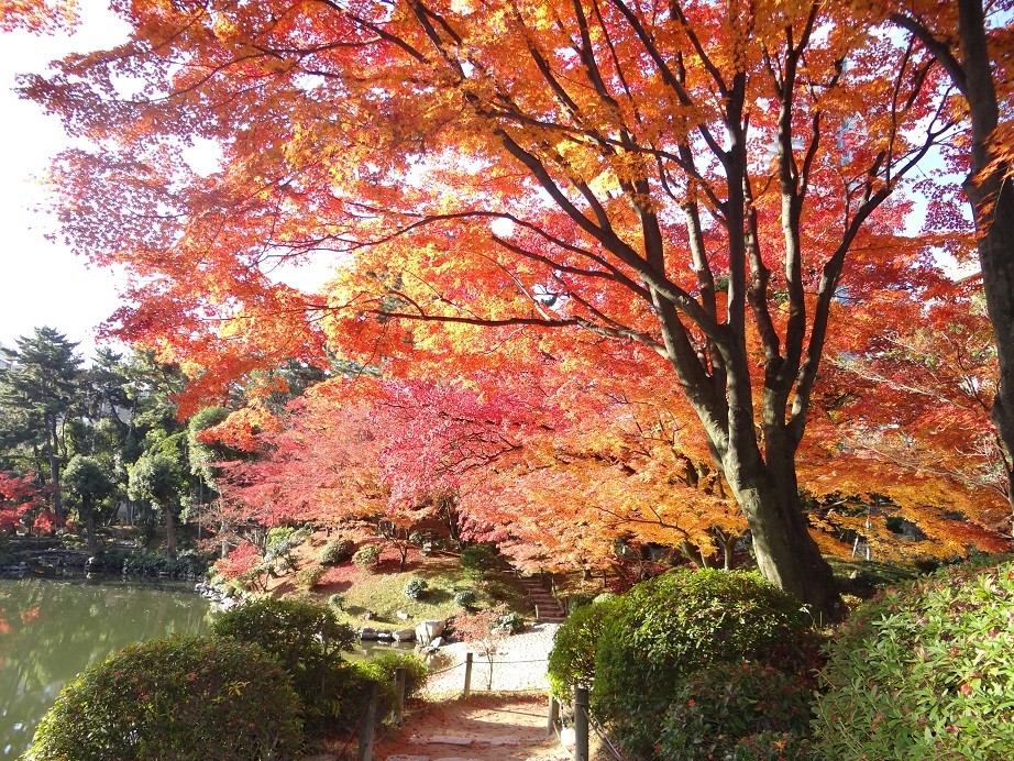
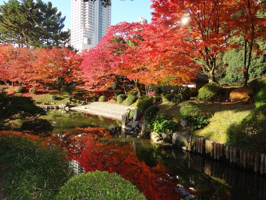
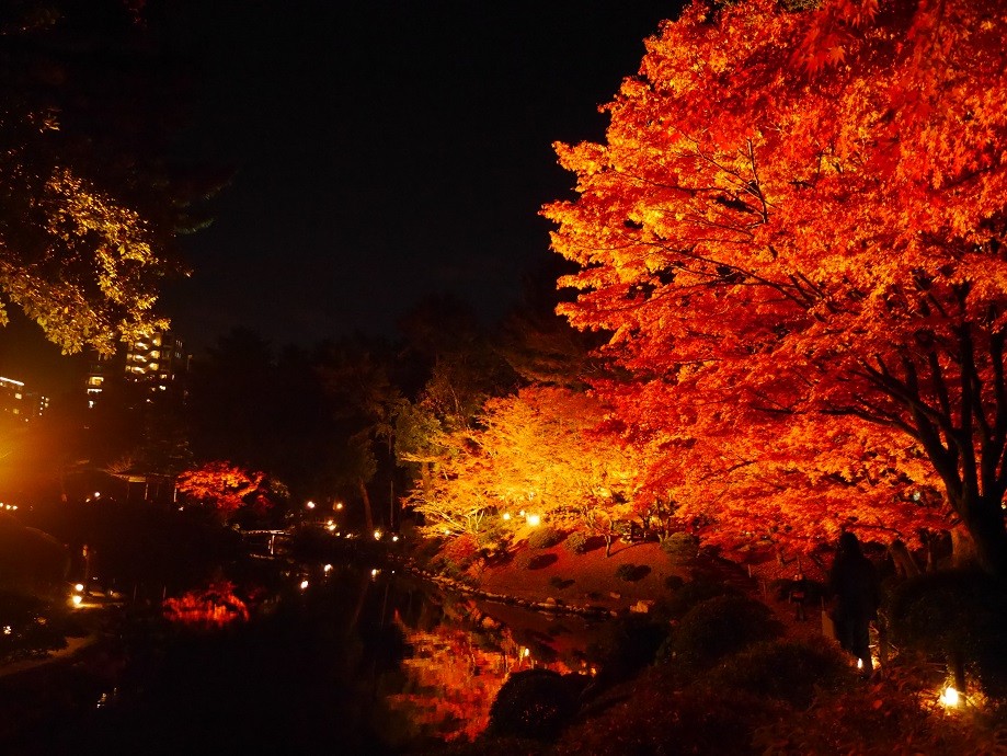
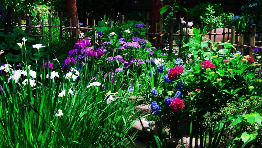
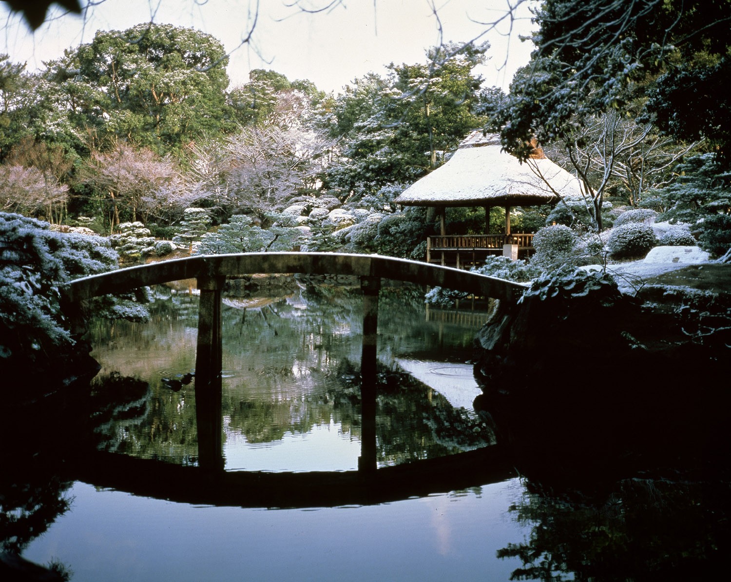
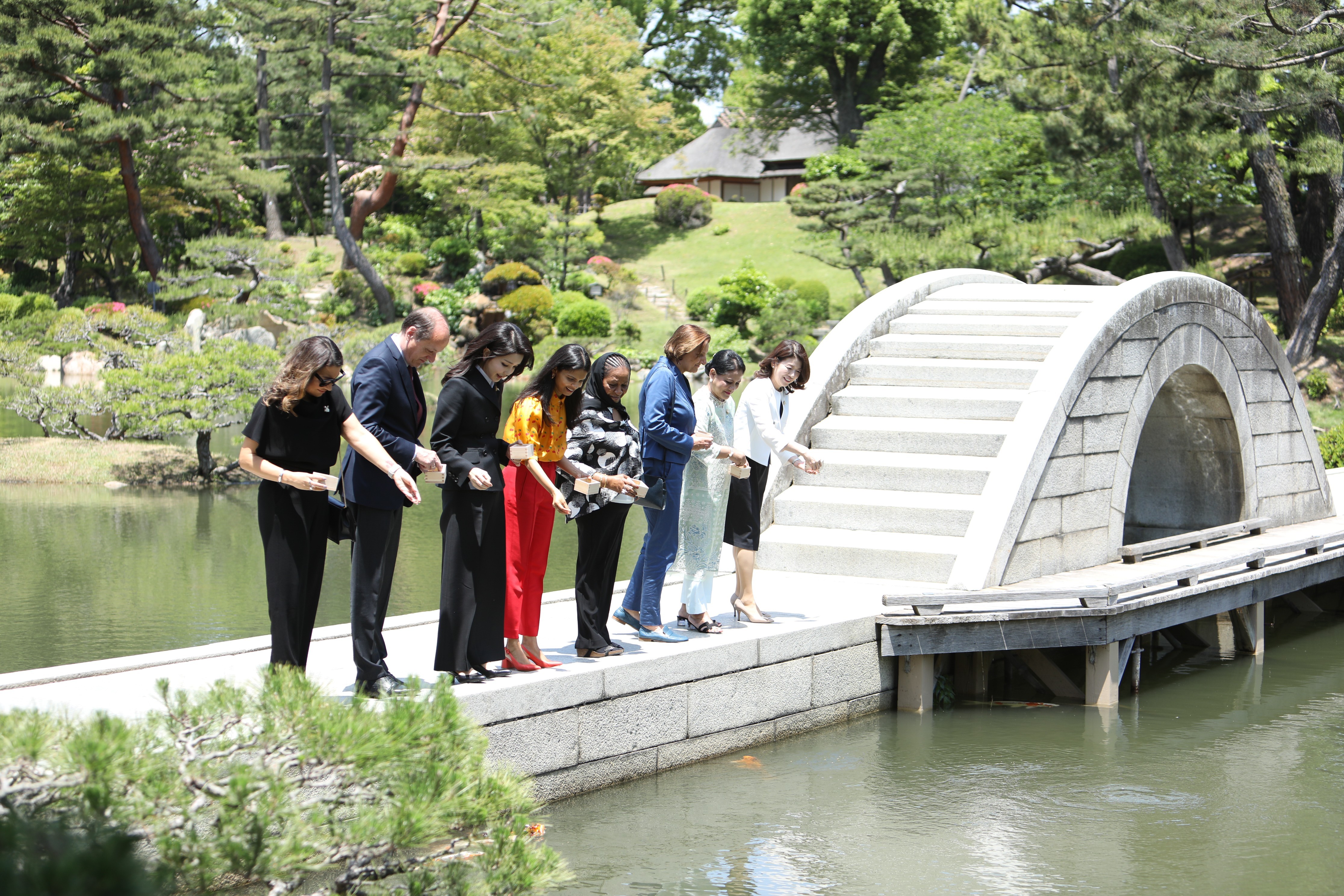
Ueda Soko, known as a tea master, was ordered to built a garden for the villa of the Asano family on the orders of the lord of Hiroshima Domain. The park, which is said to have been named “Shukkeien” because it was created in imitation of China's world-famous scenic spot “West Lake,” changes its expression throughout the four seasons and entertains visitors. The soft cream and shaved ice from “Sensuitei” are also popular with families.
“Start here ! The royal road from Hiroshima to Iwakuni”


World Heritage Sea Route
Travel time : Approx. 45 minutes
1/7
1-9, Otemachi, Naka-ku, Hiroshima-shi, 730-0051
There is a Maritime traffic connecting between the Atomic Bomb Dome and Miyajima that take about 45 minutes one way. On this cruise ship connecting Motoyasu Pier to Miyajima No. 3 Pier, you can see the Peace Memorial Park and the two World Heritage Sites without transferring while watching the cityscape of Hiroshima from the venue. The sea route leading from the river to the sea is full of openness with sparkling sunlight.
1-9, Otemachi, Naka-ku, Hiroshima-shi, 730-0051
Walk from Miyajima Pier Approx. 12 minutes
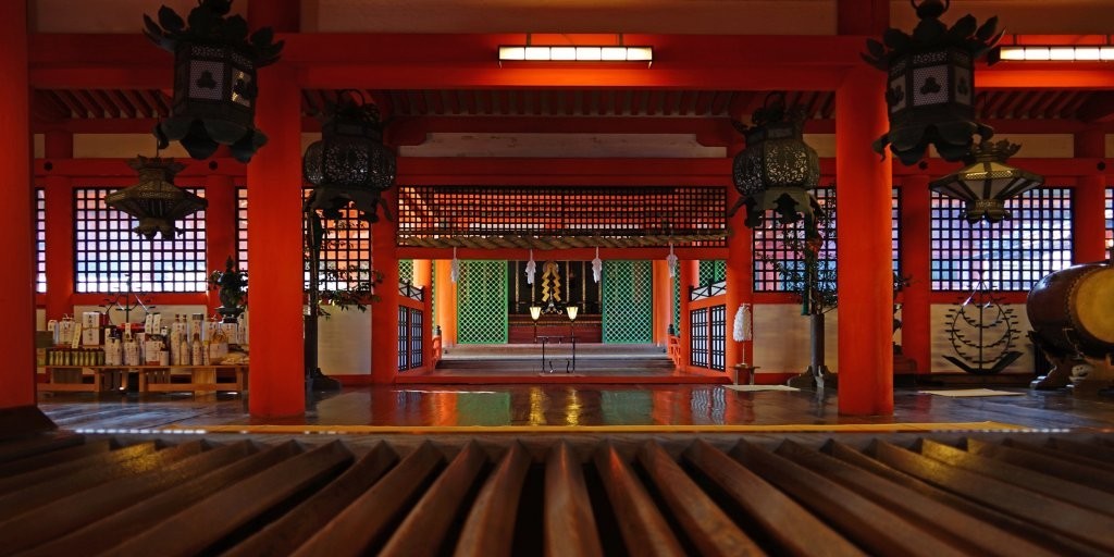
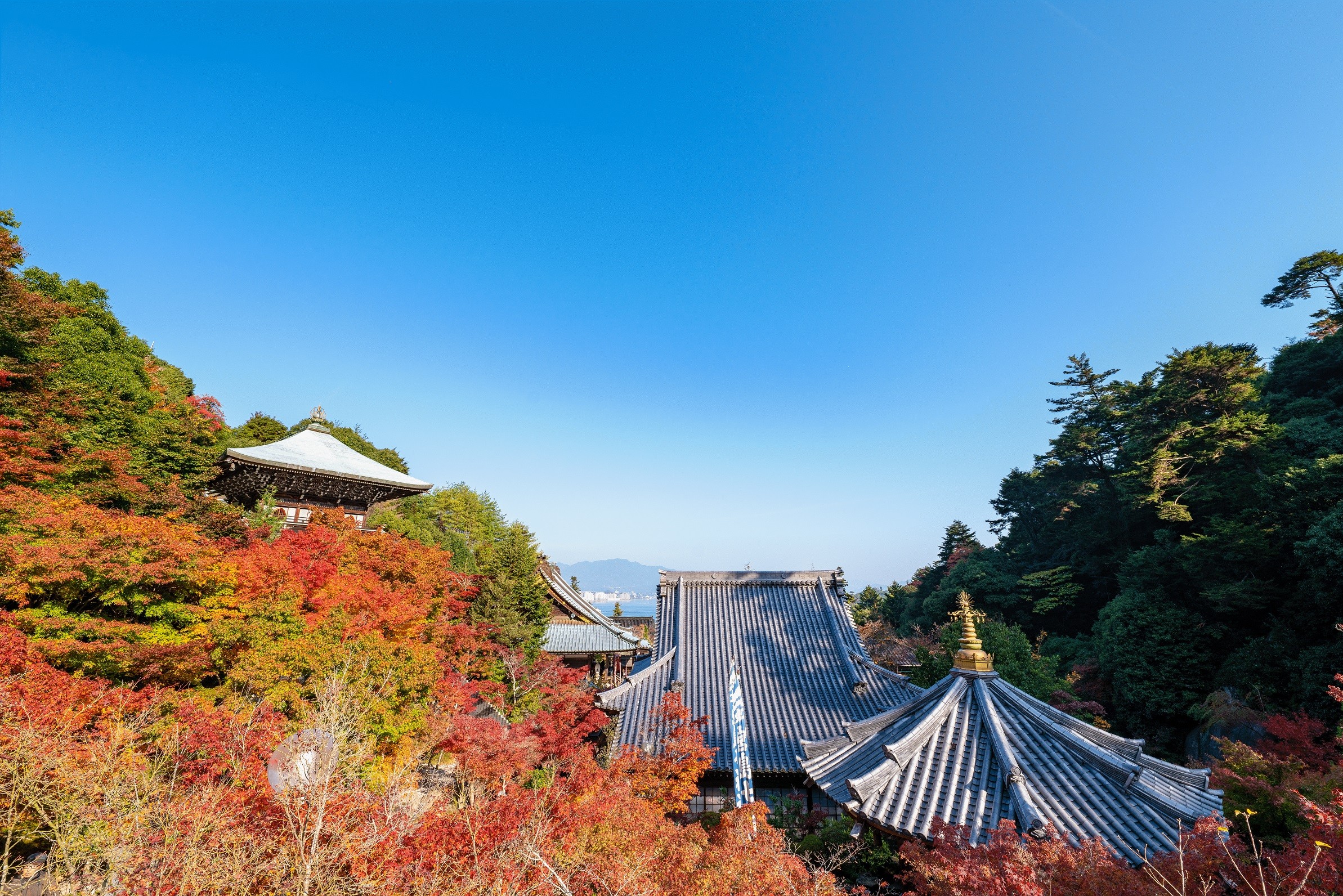
Itsukushima Shrine
Travel time : Approx. 45 minutes
2/7

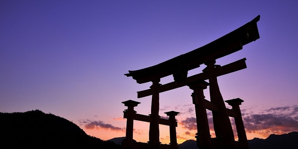
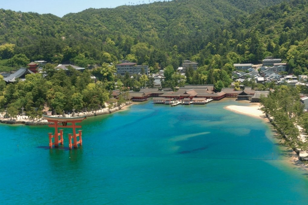
Registered as a World Heritage Site, it is one of the most famous shrines in Japan known for its bold and original layout and architectural beauty. The vermilion-lacquered shrine, which is connected by a corridor, seems to float in the sea when the tide is full. After visiting the main shrine, let's take a commemorative photo with your family against the backdrop of the vermilion-lacquered Great Torii that rises above the sea surface from the front of the fire (Hitasaki) protruding into the sea.
On foot About 1 minute
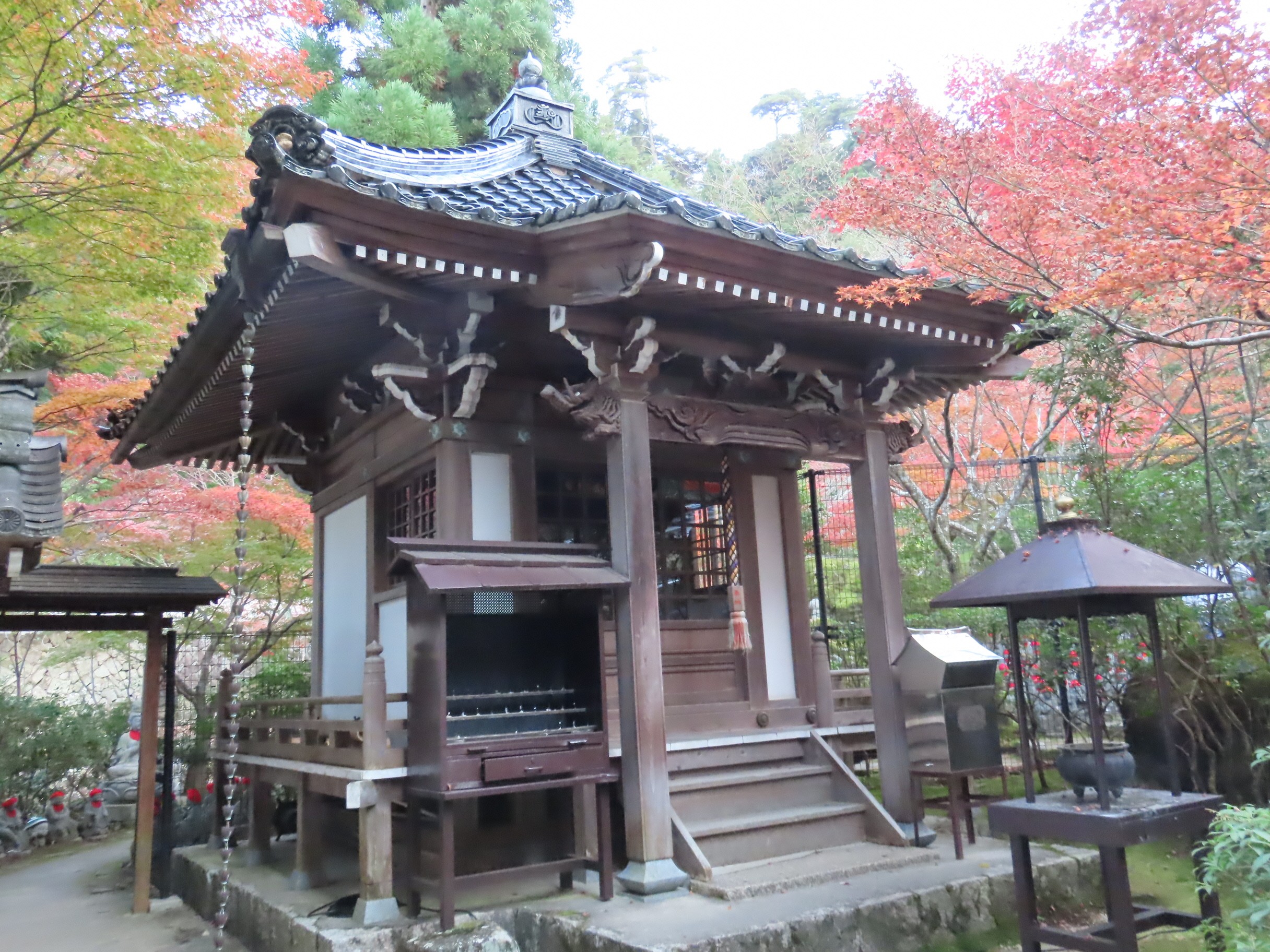
Kikyozan Hokoin Daiganji
Travel time : Approx. 25 minutes
3/7
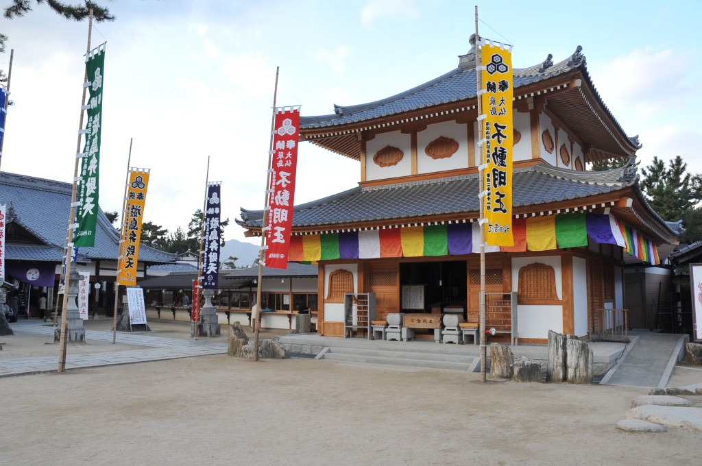
It is said that the monk Ryokai revived in the Kamakura period, and he was responsible for the repair and construction of Itsukushima Shrine. Itsukushima Benzaiten, one of Japan's top three Benzaiten, that is enshrined in the main hall.
The study at the back of the main hall is known as the place where the shogunate's warship magistrate Kaishu Katsu and Choshu's envoy held peace talks at the end of the Edo period.
On foot Approx. 3 minutes
Fujitaya's Conger Eel Rice
Travel time : About 50 minutes
4/7
This restaurant was the first restaurant to receive a star for its Conger Eel dish in the Michelin Guide. The meal is made of 2 conger eel in a rice bowl, and the sweetness of the sauce is excellent. It will end as soon as it is sold out, so we recommend visiting early.
On foot Approx. 3 minutes
Miyajima Daishoin
Travel time : About 50 minutes
5/7
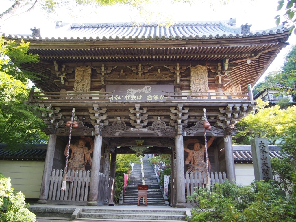
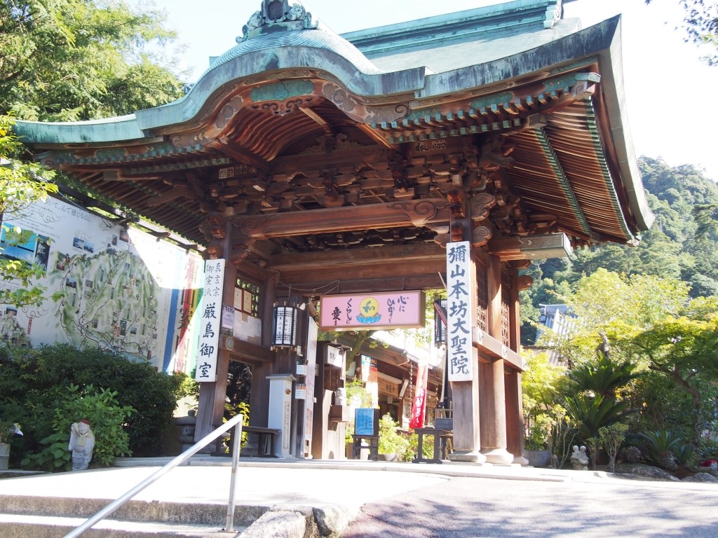
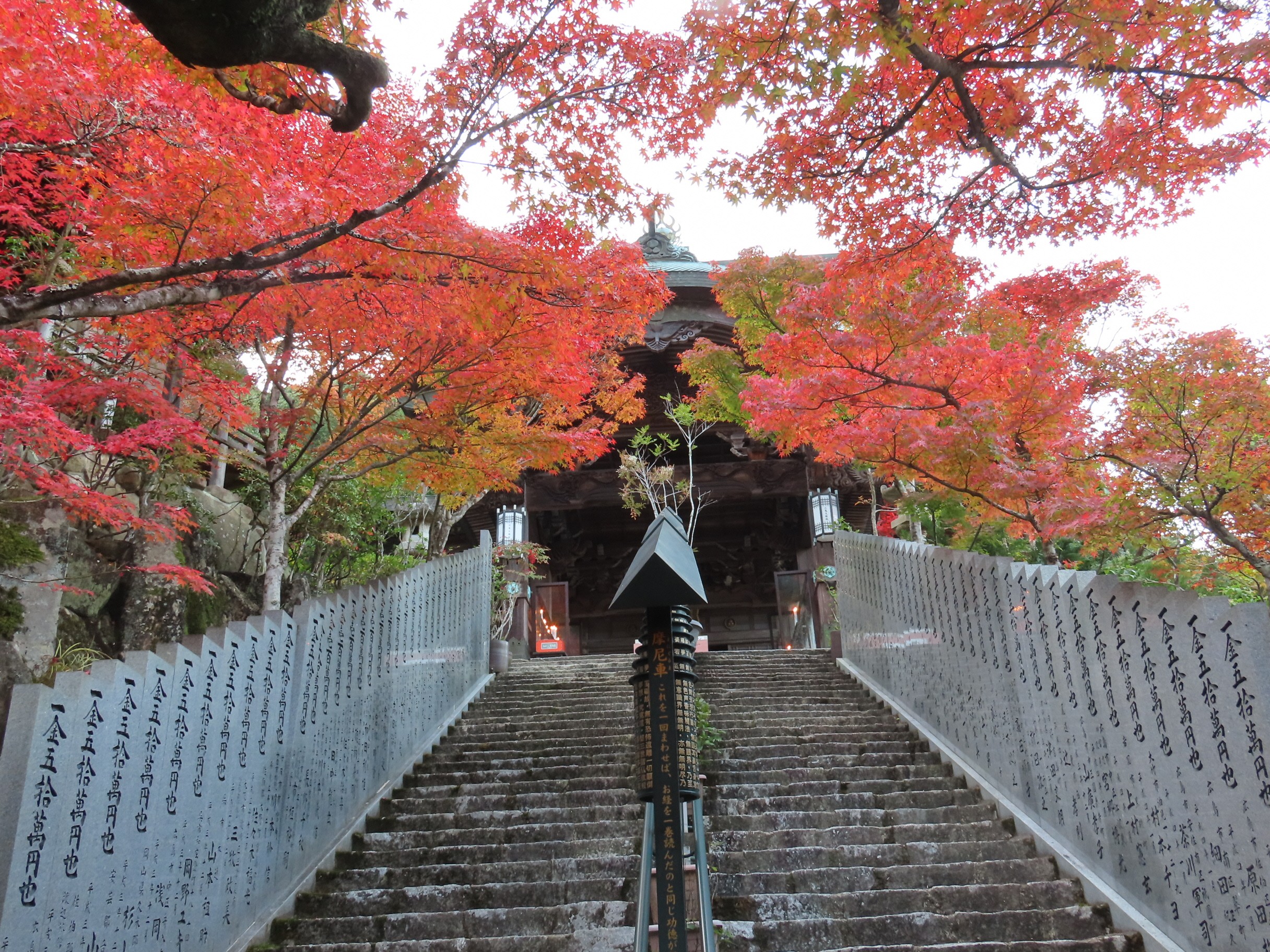
It is the oldest temple in Miyajima, and it is the head temple of Miyajima with a history of 1200 years since Kukai founded Mt. Misen. If you go to see the numerous of Buddha statues, including the Eleven-faced Kanzeon Bosatsu, you will feel naturally solemn. The quiet environment and good view are also attractive. Toyotomi Hideyoshi, who achieved the unification of the country, held a grand poetry party here.
On foot Approx. 12 minutes
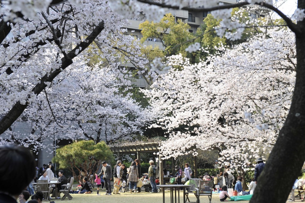
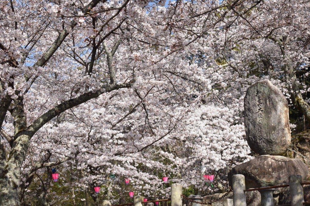
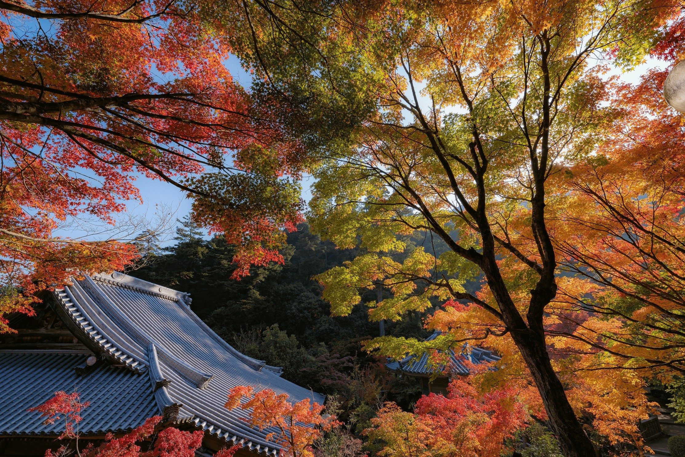
Momijidani Park
Travel time : About 40 minutes
6/7
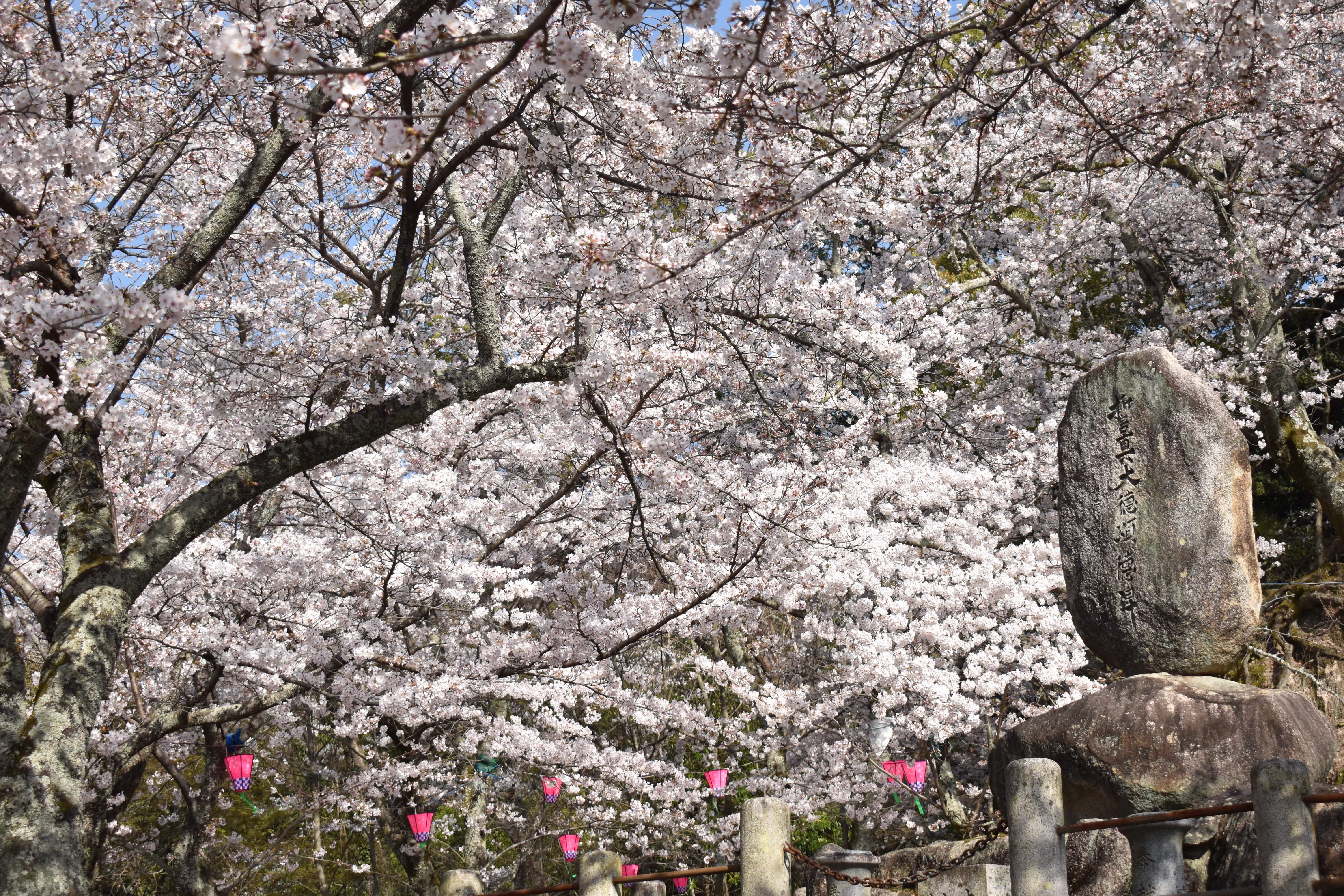
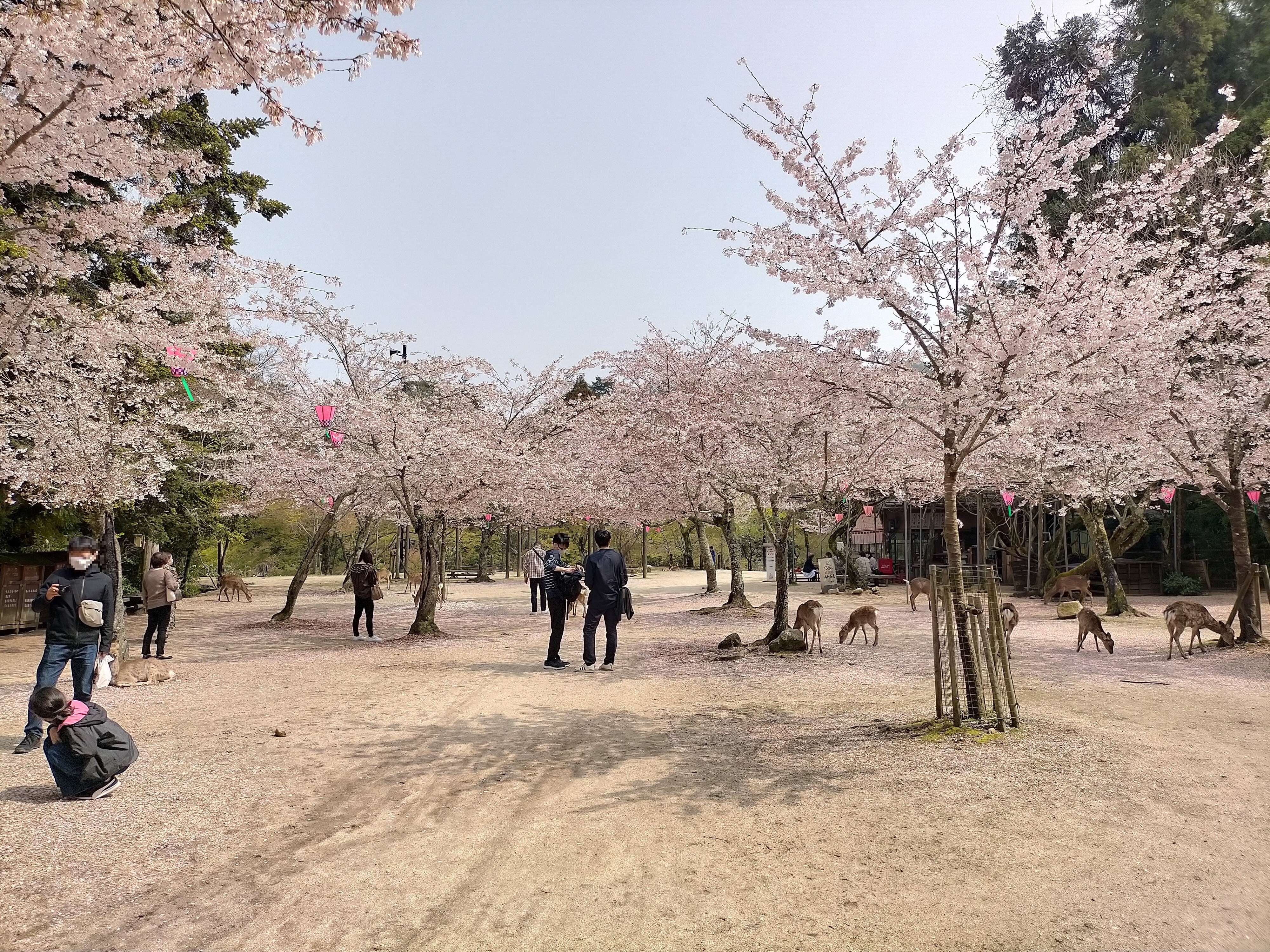
It is a park located at the foot of the Misen Primeval Forest, which is designated as a Natural Monument. There are about 700 maple trees, and the fall foliage dyed in fiery crimson is famous, but fresh green in spring and deep green in summer are also beautiful. You can enjoy the beauty of each season along with the valley flowing deep in the mountain gorge.
On foot About 10 minutes
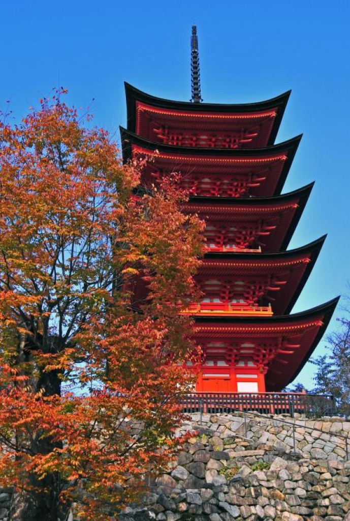
Five-story pagoda
Travel time : Approx. 35 minutes
7/7
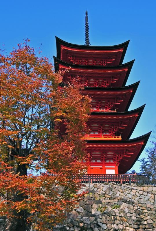
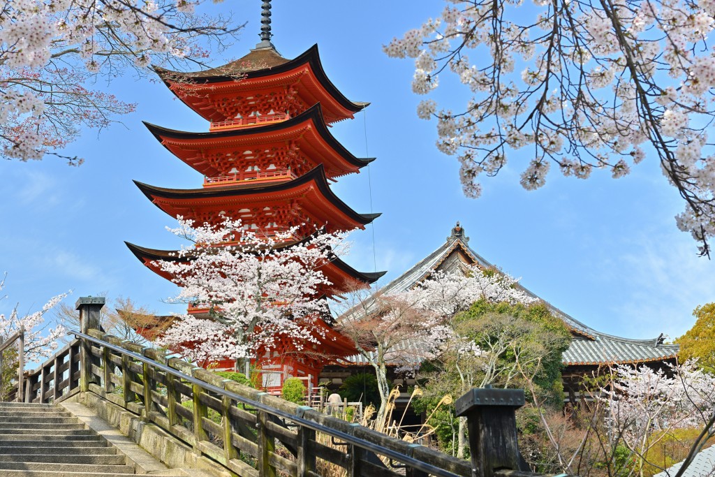
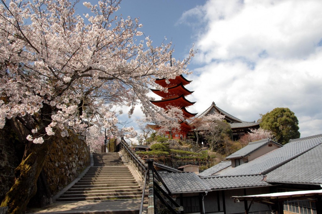
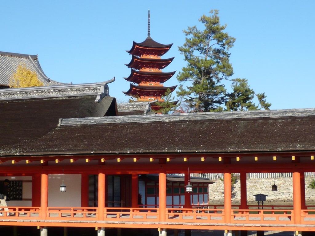
A vivid vermilion five-story pagoda that can be seen from everywhere in Miyajima. This 27.6m splendid building combining Japanese and Chinese styles was built in 1407 and is a national important cultural property. Its beautiful appearance from all the island is a perfect commemorative photo spot for families.
“Start here ! The royal road from Hiroshima to Iwakuni”
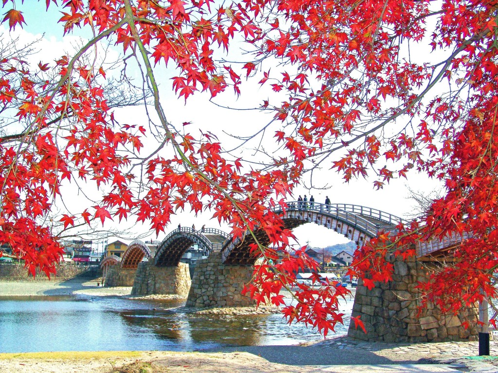


Kintaikyo
1/4

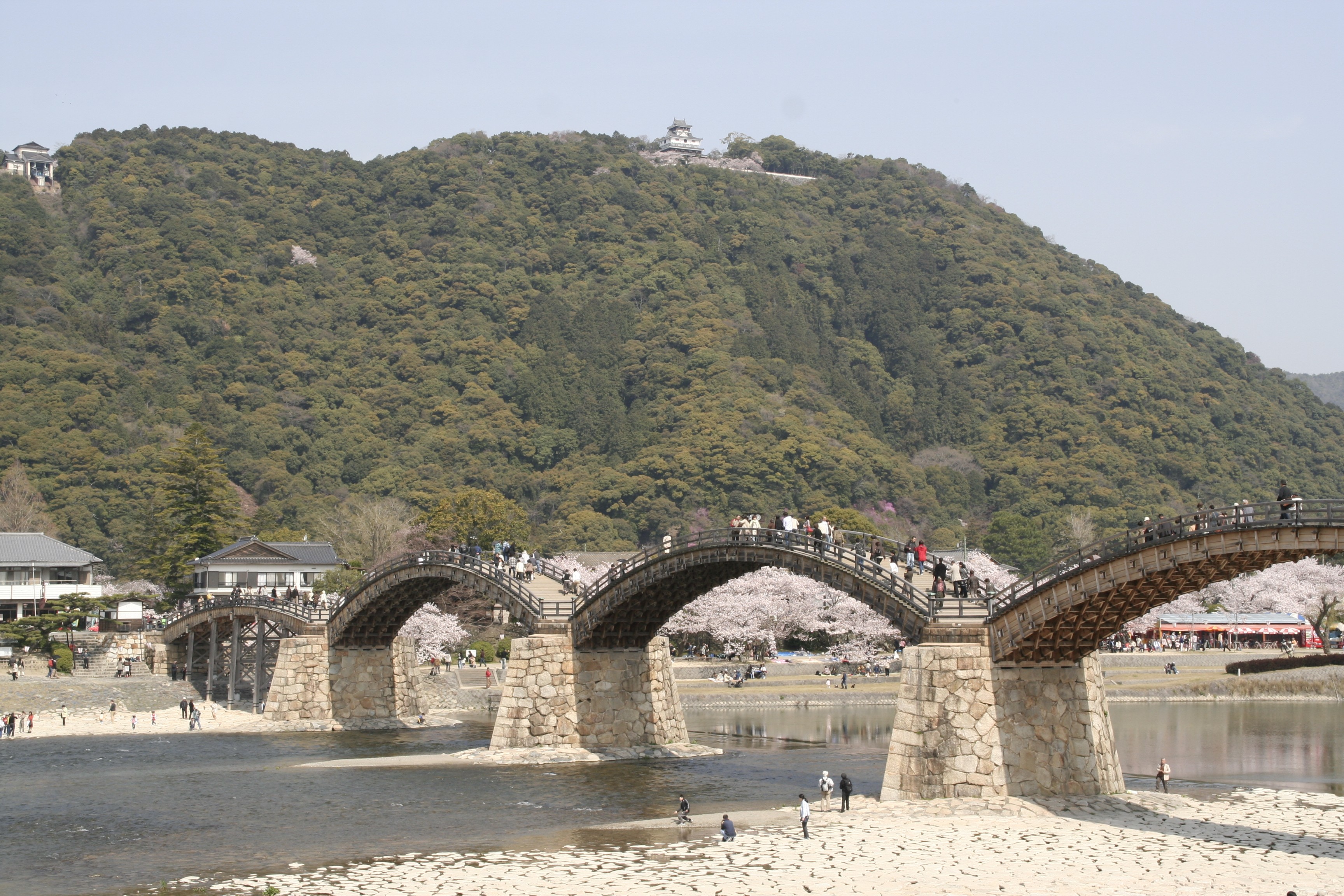
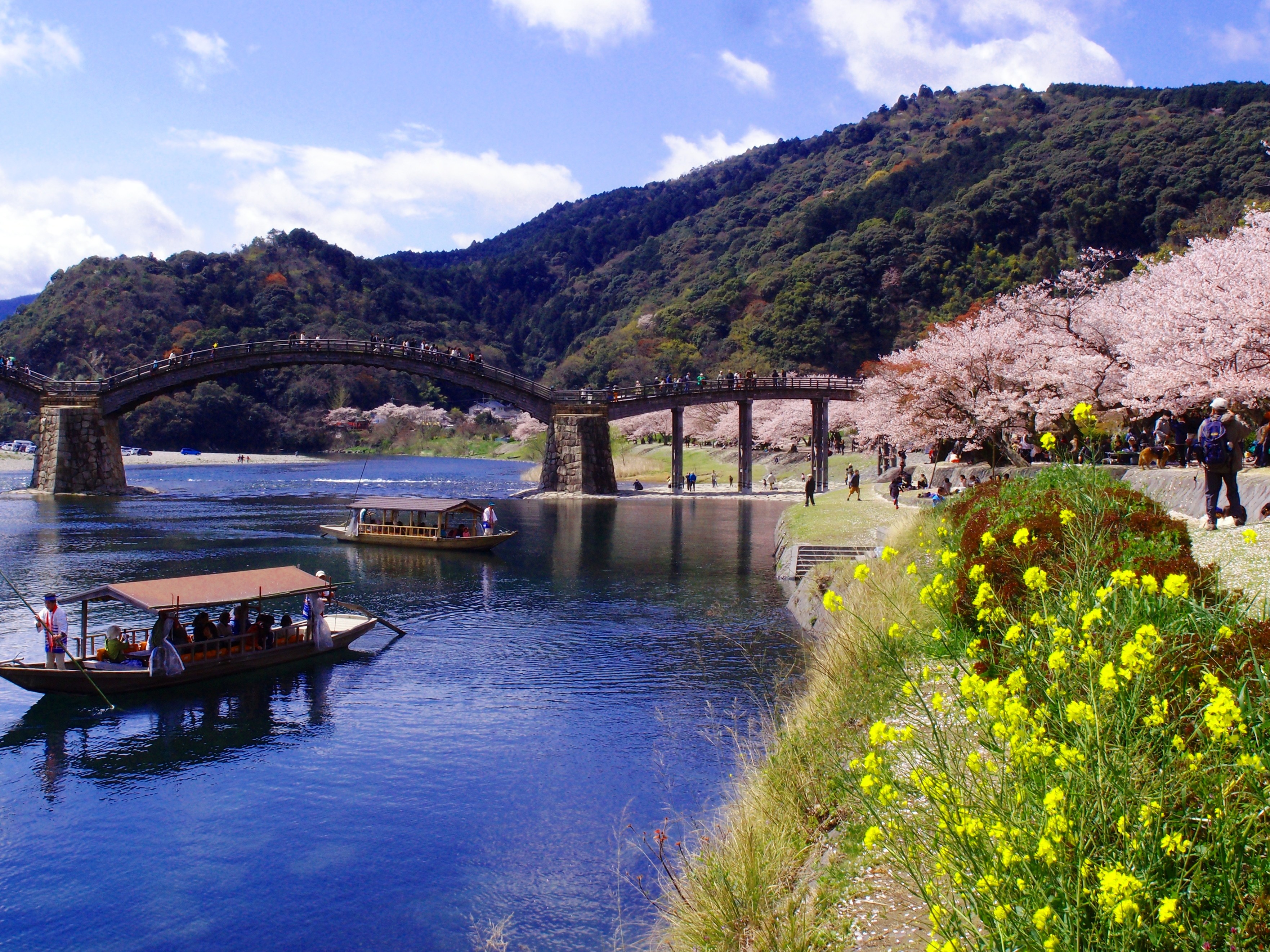
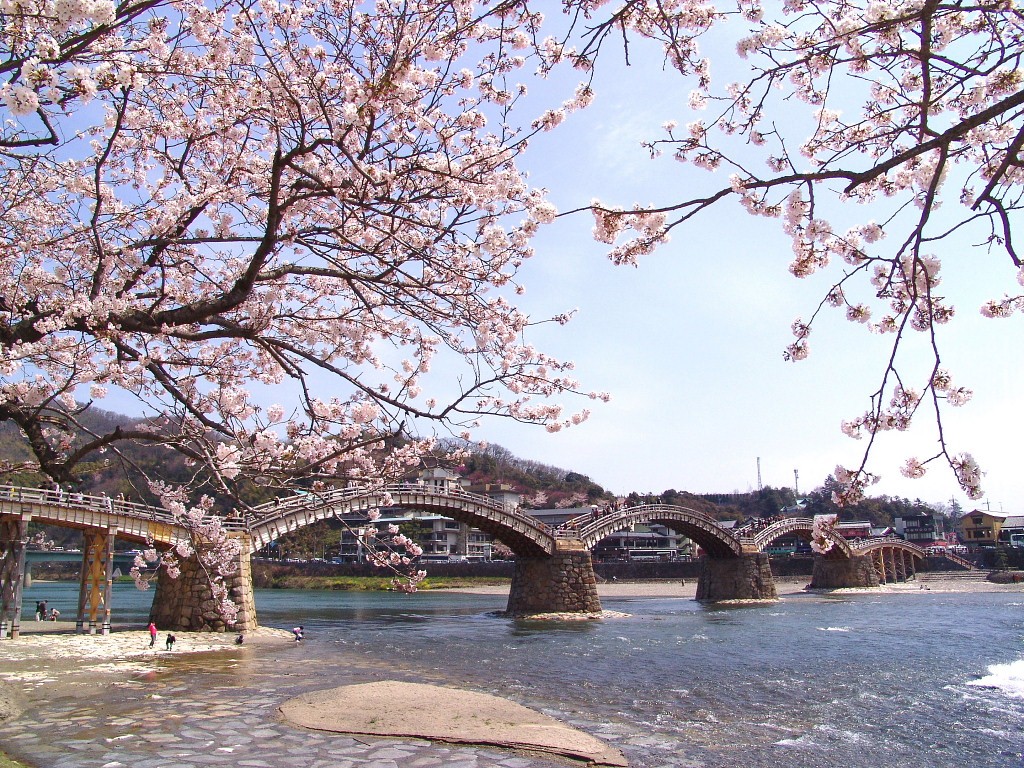
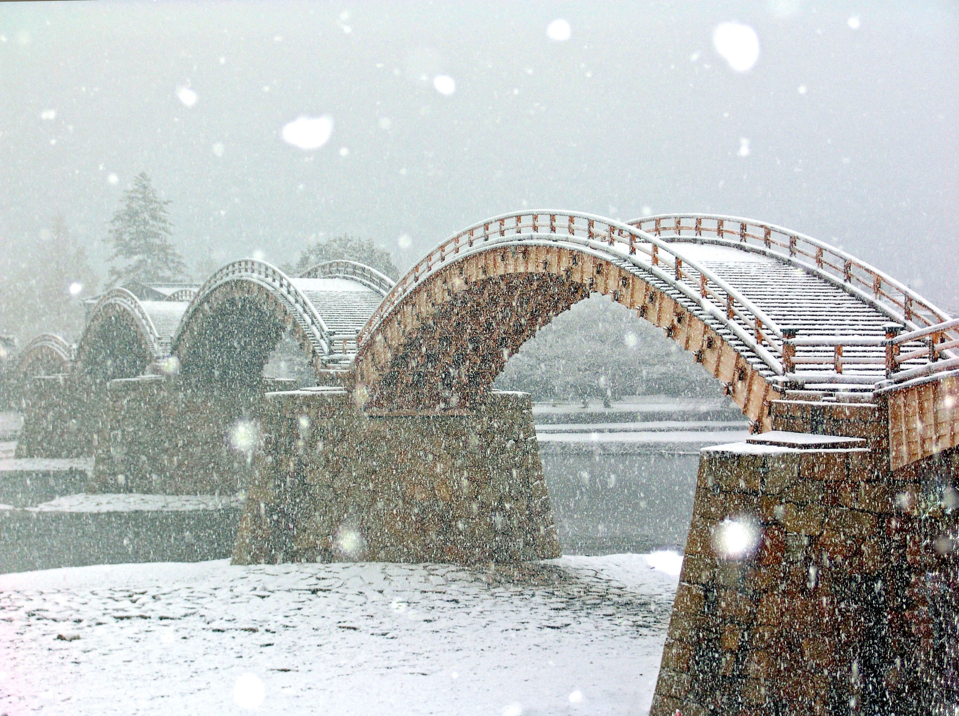
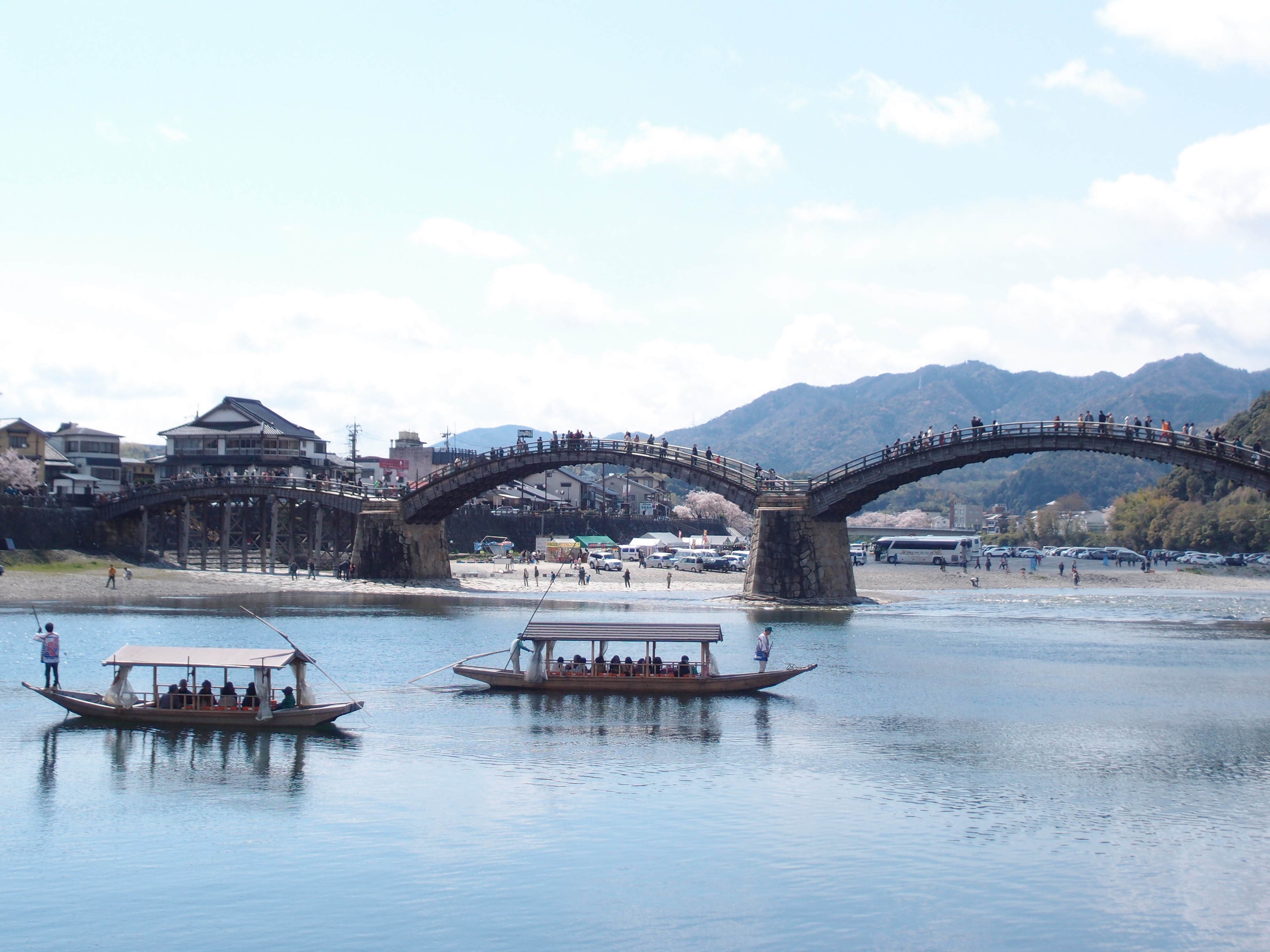
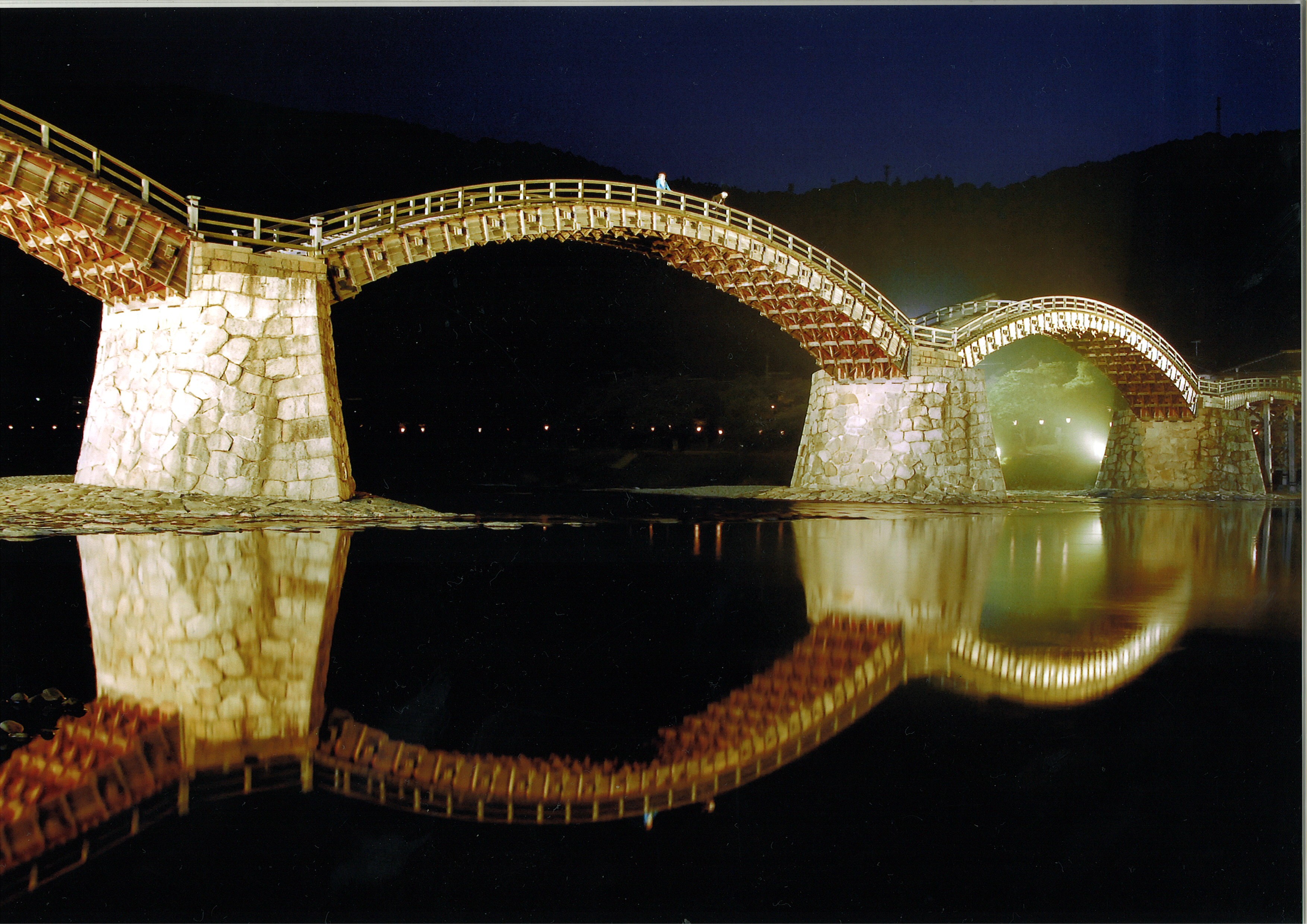
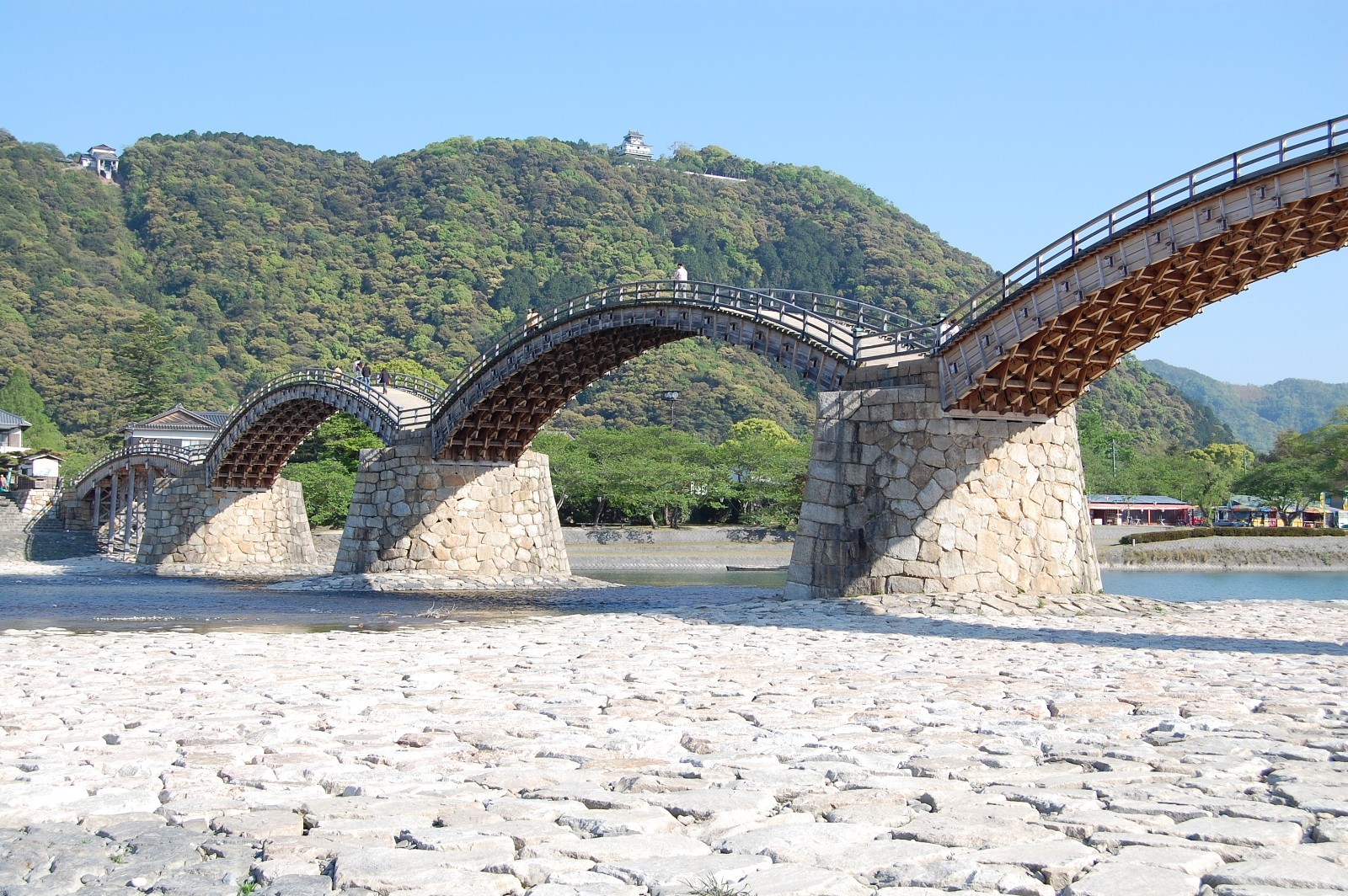
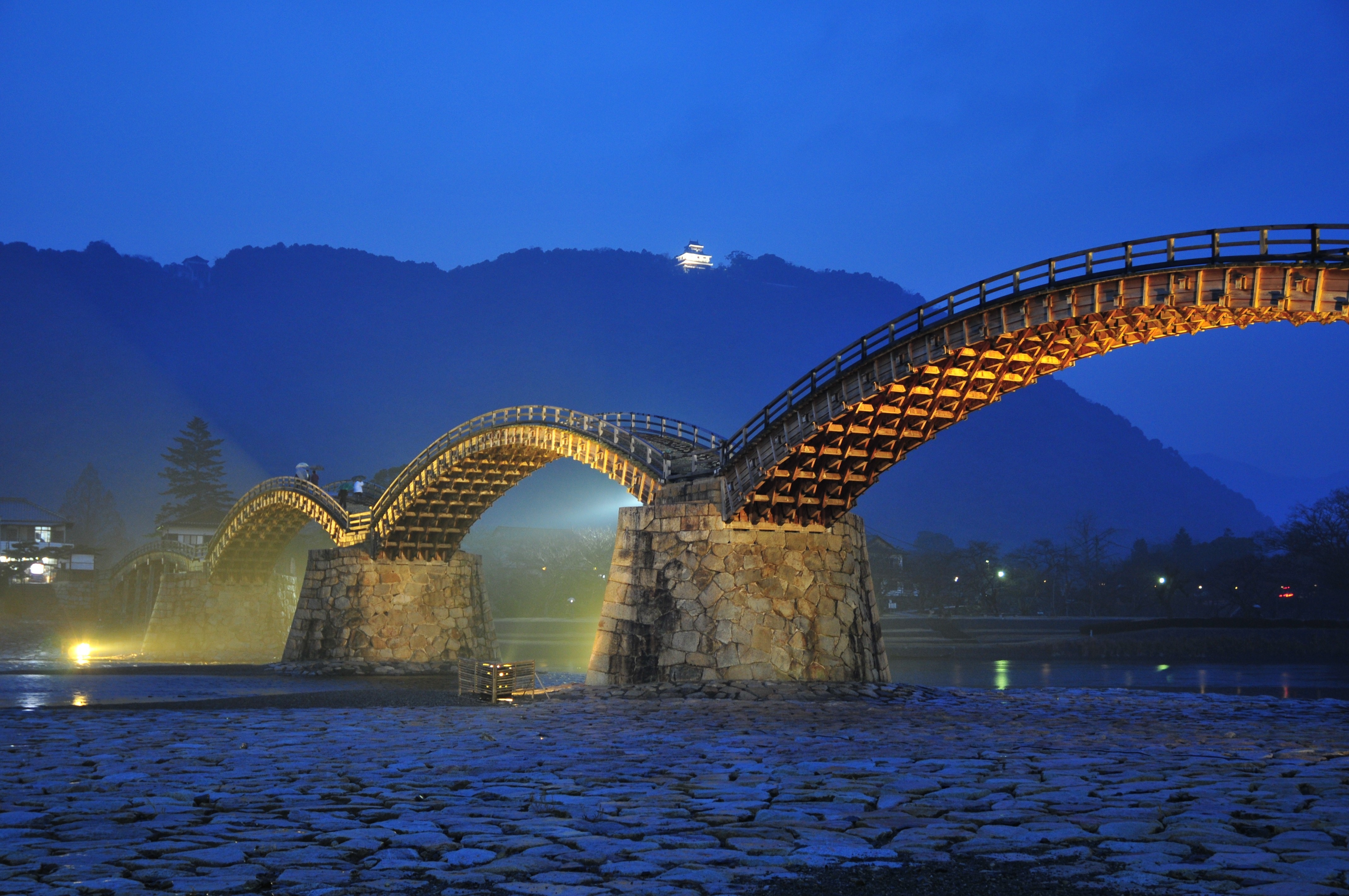
This wooden bridge known as one of the three most famous bridges in Japan is a 193.3 m long and wooden five-row arch bridge.
Since its completion in 1673 during the Edo period, it continues to fascinate people with its beautiful appearance thanks to the technology that has been passed down continuously. If you look up the back side of the Kintaikyo Bridge from the riverbed, you can see the artistic “technique of kigumi”.
On foot About 5 minutes to about 20 minutes
Iwakuni sushi
Travel time : Approx. 75 minutes
2/4
Iwakuni, Yamaguchi
The specialty of Iwakuni, that was eaten inside the Iwakuni Castle, is also known as “tonosama sushi” (Lord's sushi). Sushi that combines gorgeous appearance, taste, and volume, with ingredients such as lotus root, shiitake mushrooms, and kinshi eggs, (local specialties of Iwakuni).
They are popular as local dishes unique to the Iwakuni region.
Iwakuni, Yamaguchi
On foot Approximately 5 to 20 minutes
Kikko Park
Travel time : Approx. 75 minutes
3/4
The remains of the residence of the former Iwakuni feudal lord Yoshikawa family are being maintained in the park. The vast park is dotted with buildings reminiscent of the feudal era, such as the Mekata family house, Kin'unkaku, and Kikko Shrine. There are many seasonal flowers planted in the park, and it is also recommended to spend a leisurely time at blooming season.
About 8 minutes on foot to Iwakuni Castle Ropeway Sanroku Station
Ropeway About 3 minutes to Iwakuni Castle Ropeway Summit Station
On foot Approx. 7 minutes
Iwakuni Castle
Travel time : About 60 minutes
4/4

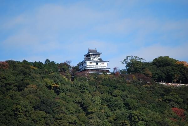
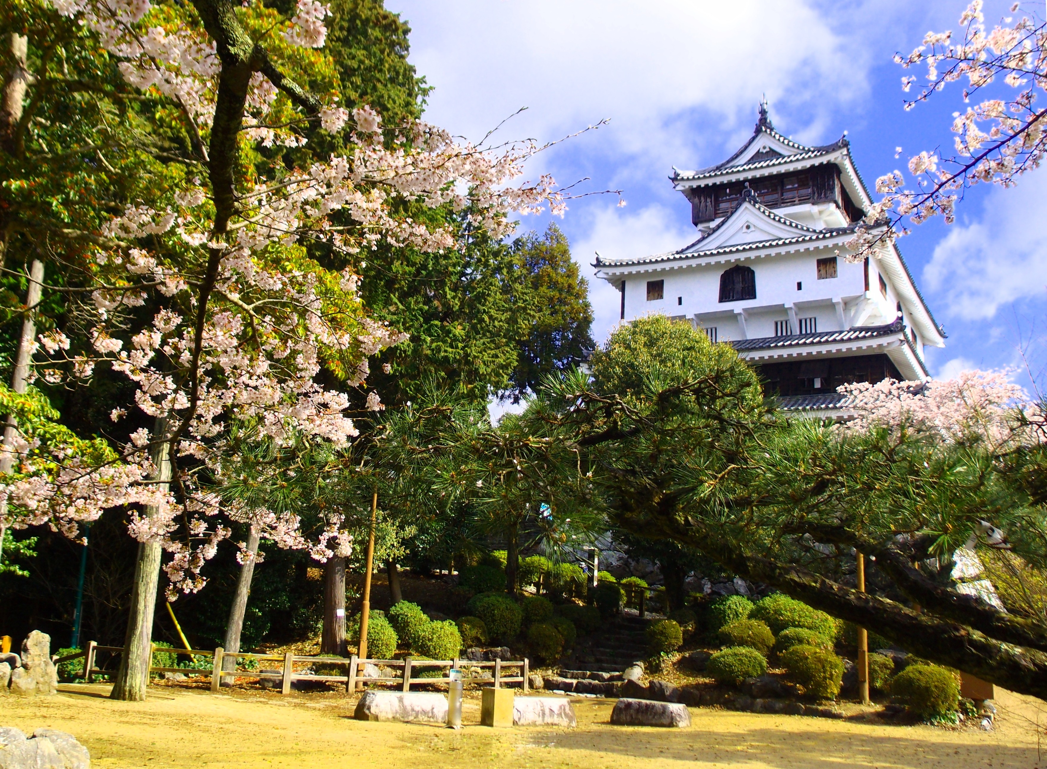

It was built by Hiroie Kikkawa, the first lord of the Iwakuni Domain, in 1608 (1608) in the early Edo period. Its exterior was restored in Showa 37 (1962). It is located on the summit of Yokoyama, a natural fortress surrounded by the meandering Nishiki River, and is known as a scenic spot where you can see not only the Kintai Bridge, but also the Seto Inland Sea if it is clear.